Download
Preview
Add to list
More
7.7 km
~2 hrs 27 min
549 m
Loop
“Experience the captivating blend of nature and history on Heidelberg's 8 km scenic loop trail.”
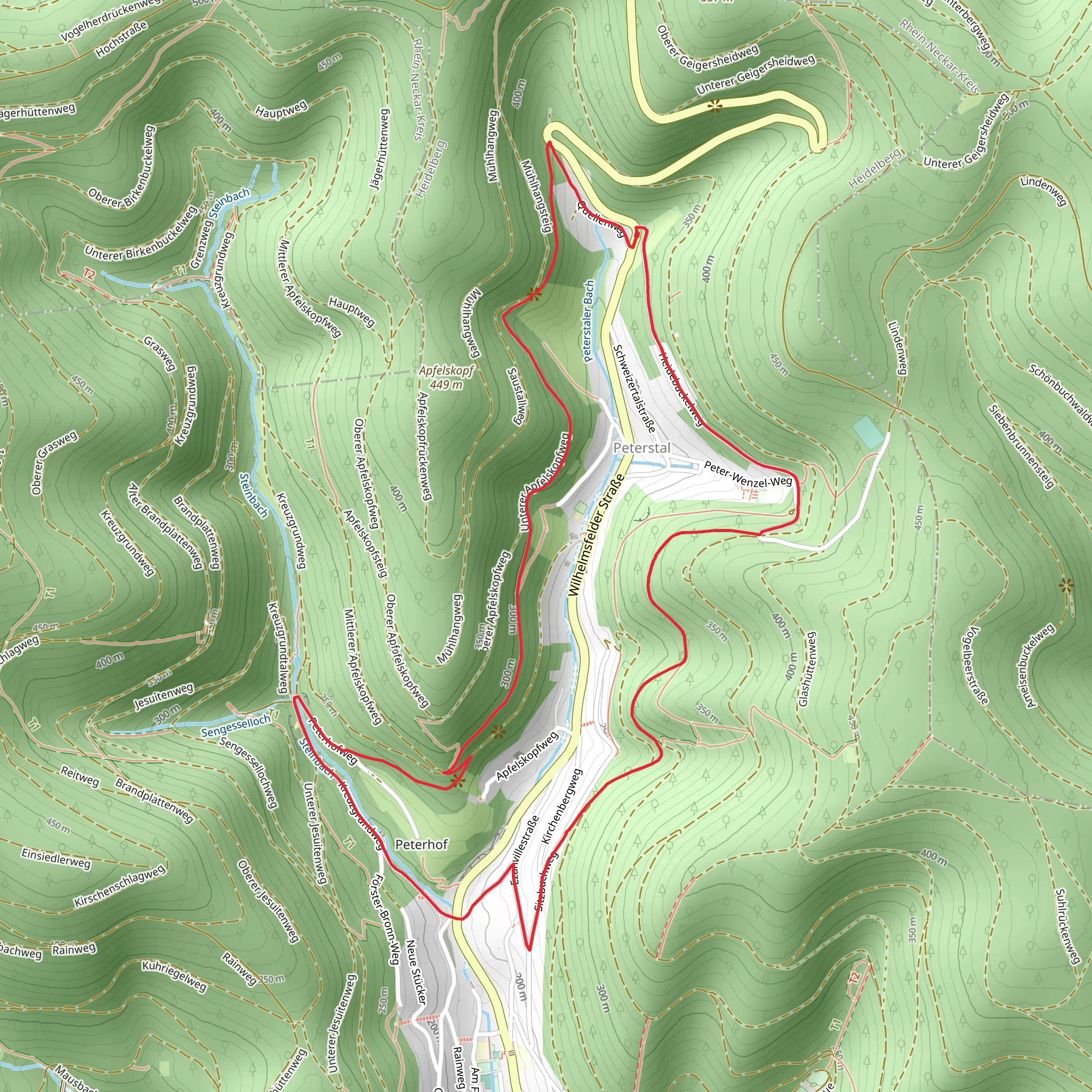
Starting near the picturesque town of Heidelberg, Germany, this 8 km (5 miles) loop trail offers a delightful mix of natural beauty and historical intrigue. With an elevation gain of approximately 500 meters (1,640 feet), the trail is rated as medium difficulty, making it suitable for moderately experienced hikers.
Getting There To reach the trailhead, you can either drive or use public transport. If you're driving, set your GPS to the nearest known address: Ziegelhausen, Heidelberg. For those using public transport, take a train to Heidelberg Hauptbahnhof (main station) and then a local bus to Ziegelhausen. The trailhead is conveniently located near the town, making it easily accessible.
Trail Navigation For navigation, it's highly recommended to use the HiiKER app, which provides detailed maps and real-time updates to ensure you stay on track.
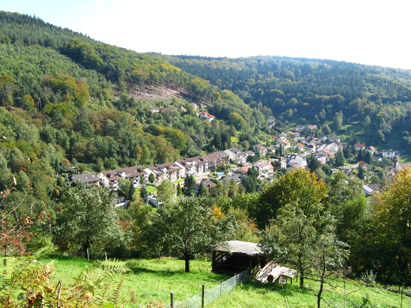
Trail Highlights As you embark on this loop trail, you'll first encounter a gentle ascent through dense forests. The initial 2 km (1.2 miles) will take you through a canopy of deciduous trees, offering a cool and shaded environment. Keep an eye out for local wildlife such as deer and various bird species that inhabit this area.
Historical Significance Around the 3 km (1.9 miles) mark, you'll come across the ruins of an old watchtower, a remnant from the medieval period. This site offers a glimpse into the region's rich history and provides a perfect spot for a short break. The watchtower once served as a lookout point to protect the town of Heidelberg from invaders.
Scenic Views Continuing on, the trail begins to ascend more steeply, gaining about 200 meters (656 feet) in elevation over the next 2 km (1.2 miles). This section offers panoramic views of the Neckar River and the surrounding valley. On a clear day, you can even see the Heidelberg Castle in the distance, a stunning sight that adds to the trail's allure.
Flora and Fauna The trail then meanders through a section rich in flora, including wildflowers and various types of ferns. This part of the hike is particularly beautiful in the spring and early summer when the flowers are in full bloom. The diverse plant life attracts a variety of insects and small animals, making it a vibrant ecosystem worth observing.
Final Stretch As you approach the final 2 km (1.2 miles) of the loop, the trail descends gradually back towards Ziegelhausen. This section is less strenuous and allows you to enjoy the serene environment as you make your way back to the starting point. The descent offers a different perspective of the landscape, with opportunities to spot more wildlife and enjoy the tranquility of the forest.
Practical Tips - Wear sturdy hiking boots as the trail can be uneven and slippery, especially after rain. - Bring enough water and snacks, as there are no facilities along the trail. - Check the weather forecast before you go, as conditions can change rapidly in this region. - Use the HiiKER app for real-time navigation and updates.
This trail offers a perfect blend of natural beauty, historical landmarks, and moderate physical challenge, making it a rewarding experience for any hiker.
Comments and Reviews
User comments, reviews and discussions about the Unterer Apfelskopfv and Ziegelhausen, Germany.
4.6
average rating out of 5
5 rating(s)

