Download
Preview
Add to list
More
6.3 km
~1 hrs 19 min
37 m
Loop
“Explore the Heideschleife Wilseder Berg trail for stunning heathland views and rich historical landmarks.”
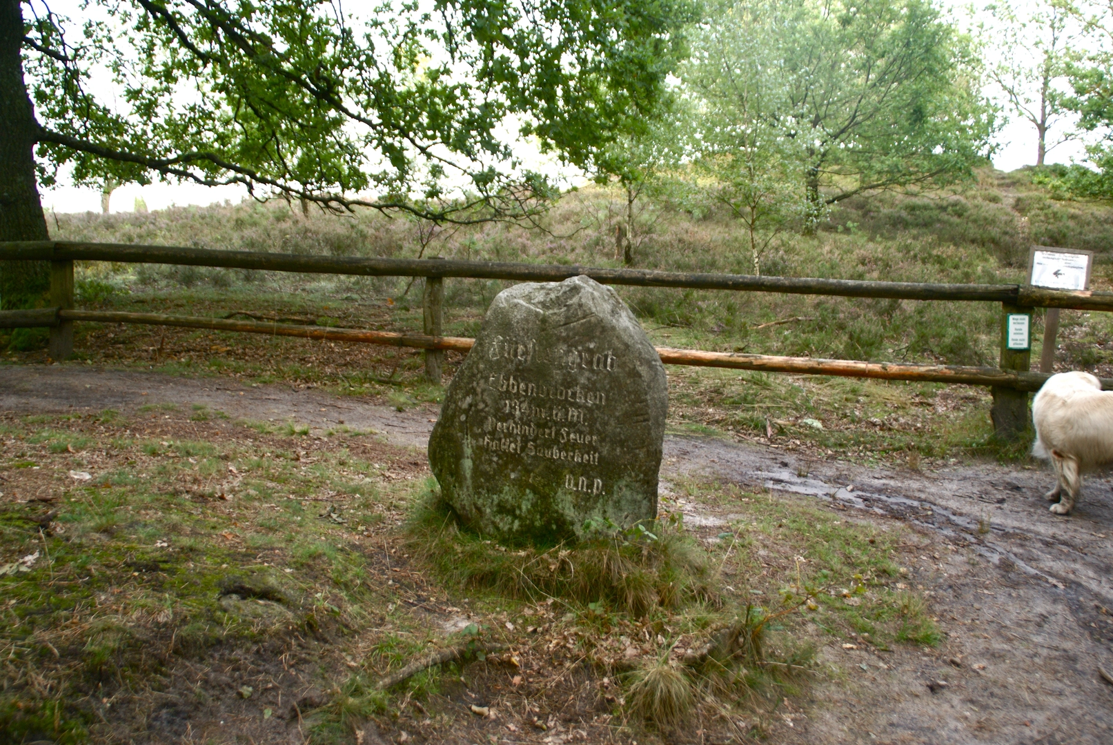
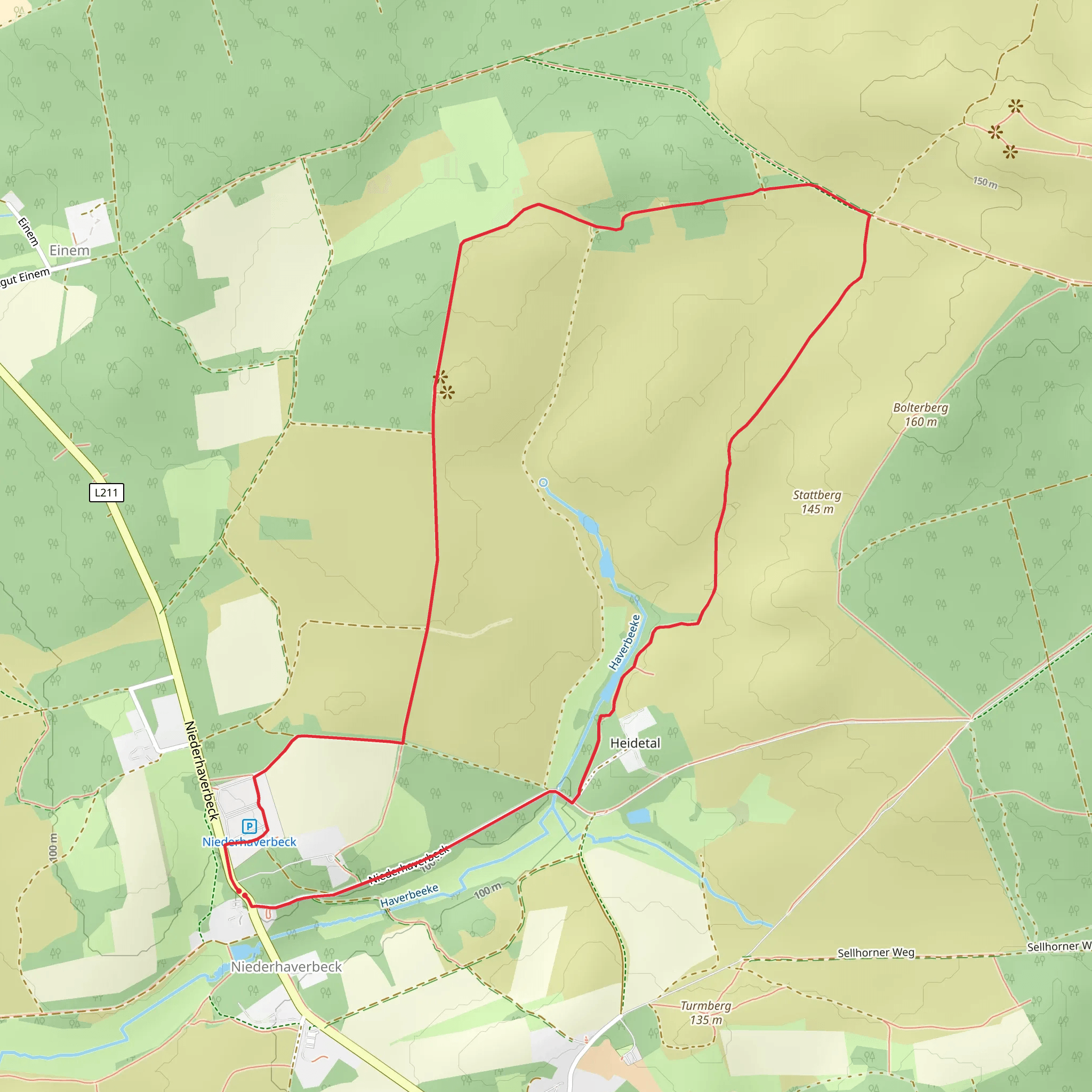
Starting near Heidekreis, Germany, the Heideschleife Wilseder Berg and Niederhaverbeck trail is a delightful 6 km (approximately 3.7 miles) loop with no significant elevation gain, making it accessible for most hikers. The trailhead is conveniently located near the village of Niederhaverbeck, which can be reached by car or public transport. If you're driving, there is parking available at the trailhead. For those using public transport, buses from nearby towns such as Bispingen or Schneverdingen will get you close to the starting point.### Trail Highlights and Landmarks#### Wilseder Berg One of the main highlights of this trail is Wilseder Berg, the highest point in the Lüneburg Heath at 169 meters (554 feet) above sea level. Although the elevation gain is minimal, the panoramic views from the top are breathtaking, offering a sweeping vista of the heathland. This area is particularly stunning in late summer when the heather is in full bloom, painting the landscape in shades of purple.#### Historical Significance The Lüneburg Heath has a rich history dating back to the Bronze Age. The heathland was shaped by human activity over thousands of years, including grazing and controlled burning. Wilseder Berg itself has been a significant landmark for centuries, and the surrounding area is dotted with ancient burial mounds and remnants of early settlements.### Flora and Fauna The trail meanders through a variety of landscapes, including open heathland, mixed forests, and small streams. The heathland is home to a unique ecosystem, featuring plants like heather, juniper, and rare orchids. Wildlife enthusiasts will enjoy spotting native species such as the European adder, sand lizard, and various bird species like the nightjar and the European stonechat.### Navigation and Safety The trail is well-marked, but it's always a good idea to have a reliable navigation tool. HiiKER is an excellent app for this purpose, providing detailed maps and real-time tracking to ensure you stay on course. The path is generally well-maintained, but be prepared for some uneven terrain and occasional muddy patches, especially after rain.### Getting There To reach the trailhead by car, set your GPS to Niederhaverbeck, Heidekreis, Germany. There is ample parking available near the starting point. If you're using public transport, buses from Bispingen or Schneverdingen will drop you off near Niederhaverbeck. From there, it's a short walk to the trailhead.### Practical Tips - Footwear: Sturdy hiking boots are recommended due to the uneven terrain. - Weather: Check the weather forecast before you go. The heathland can be exposed, so bring sun protection and plenty of water in the summer, and warm layers in the cooler months. - Wildlife: Keep an eye out for wildlife, but remember to observe from a distance to avoid disturbing the animals. - Facilities: There are limited facilities along the trail, so bring snacks and water. There are a few benches and rest areas where you can take a break and enjoy the scenery.This trail offers a perfect blend of natural beauty, historical significance, and a manageable distance, making it an ideal choice for a half-day hike.
Comments and Reviews
User comments, reviews and discussions about the Heideschleife Wilseder Berg and Niederhaverbeck, Germany.
4.67
average rating out of 5
6 rating(s)

