Download
Preview
Add to list
More
7.2 km
~1 hrs 36 min
107 m
Loop
“The Walterbachtal Loop offers scenic views, historic landmarks, and moderate challenges for seasoned hikers.”
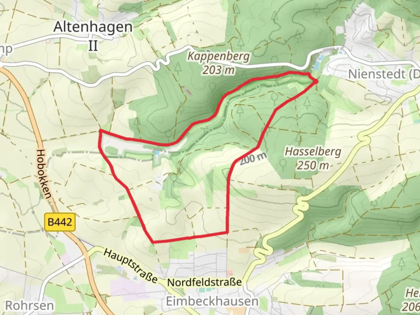
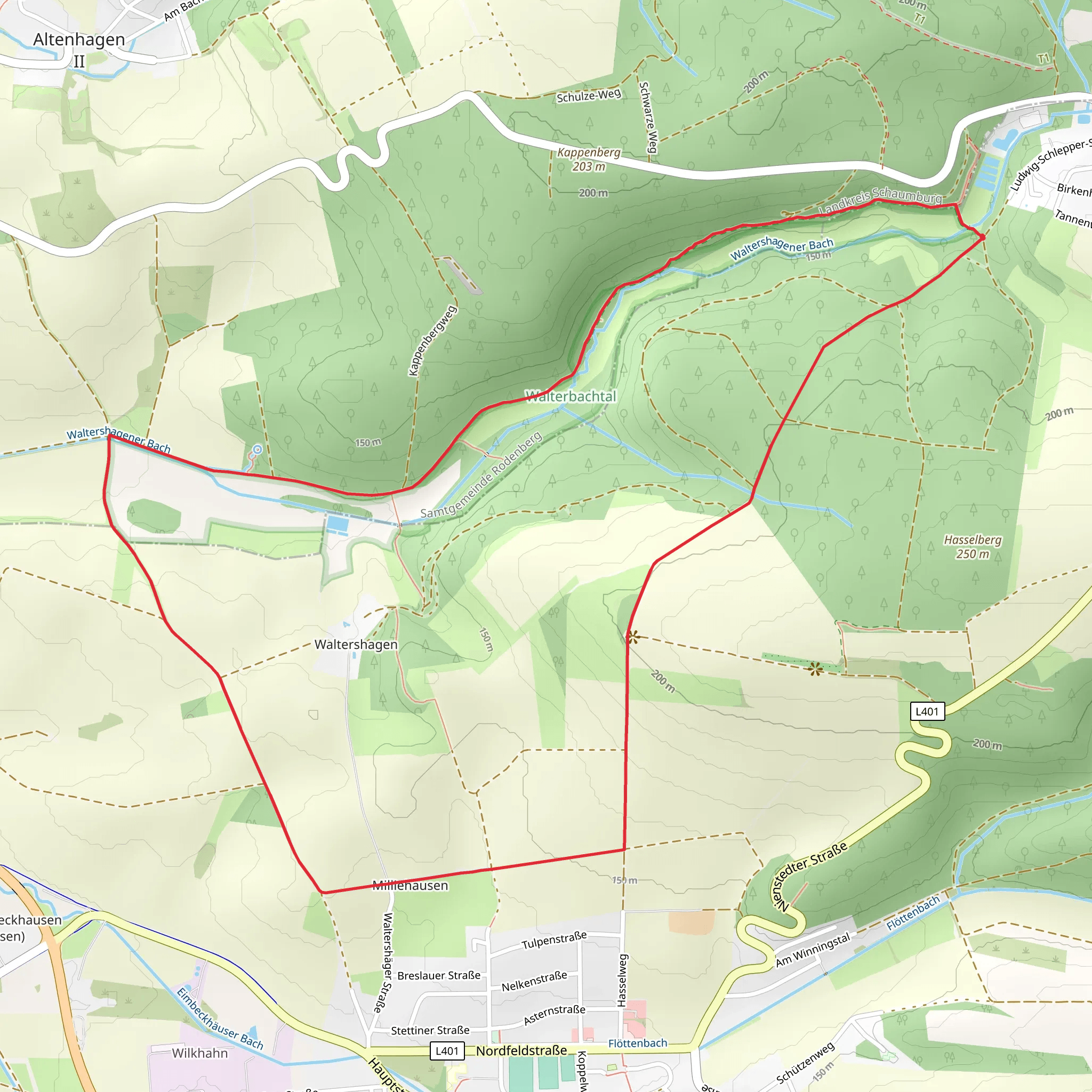
Starting near Hameln-Pyrmont, Germany, the Walterbachtal Loop is a delightful 7 km (approximately 4.3 miles) trail with an elevation gain of around 100 meters (328 feet). This loop trail is rated as medium difficulty, making it suitable for moderately experienced hikers.
Getting There To reach the trailhead, you can either drive or use public transport. If driving, set your GPS to Hameln-Pyrmont, and look for parking options near the starting point. For those using public transport, take a train or bus to Hameln and then a local bus towards Pyrmont. The nearest significant landmark to the trailhead is the Hameln-Pyrmont district, which is well-connected by public transport.
Trail Overview The trail begins with a gentle ascent through a mixed forest, offering a serene environment filled with the sounds of chirping birds and rustling leaves. As you progress, you'll encounter a variety of flora, including oak, beech, and pine trees. The first kilometer (0.6 miles) is relatively easy, with a gradual elevation gain of about 20 meters (65 feet).
Historical Significance The region around Hameln-Pyrmont is steeped in history, most famously known for the Pied Piper of Hamelin legend. As you hike, you'll pass through areas that have been inhabited for centuries, with some sections of the trail offering glimpses of ancient stone structures and old farmhouses. These landmarks serve as a reminder of the area's rich cultural heritage.
Mid-Trail Highlights Around the 3 km (1.9 miles) mark, you'll reach a small clearing that offers panoramic views of the surrounding valleys. This is an excellent spot to take a break and enjoy a snack while soaking in the natural beauty. The elevation gain here is about 50 meters (164 feet), making it the steepest part of the trail.
Continuing on, the trail meanders alongside the Walterbach stream, which is particularly picturesque during the spring and autumn months. The sound of flowing water adds a calming ambiance to your hike. Keep an eye out for local wildlife, including deer, foxes, and a variety of bird species.
Navigation and Safety For navigation, it's highly recommended to use the HiiKER app, which provides detailed maps and real-time updates. The trail is well-marked, but having a reliable navigation tool ensures you stay on track.
Final Stretch The last 2 km (1.2 miles) of the trail are relatively flat, making for an easy and enjoyable end to your hike. You'll pass through open meadows and small patches of woodland before looping back to the starting point. The total elevation gain for this section is minimal, around 30 meters (98 feet).
Practical Tips - Wear sturdy hiking boots, as some sections can be muddy, especially after rain. - Bring enough water and snacks, as there are no facilities along the trail. - Check the weather forecast before heading out, and dress in layers to accommodate changing conditions.
The Walterbachtal Loop offers a perfect blend of natural beauty, historical intrigue, and moderate physical challenge, making it a rewarding experience for any hiker.
What to expect?
Activity types
Comments and Reviews
User comments, reviews and discussions about the Walterbachtal Loop, Germany.
5.0
average rating out of 5
1 rating(s)
