Download
Preview
Add to list
More
14.9 km
~3 hrs 34 min
359 m
Loop
“Explore Germany’s scenic Hohenstein Loop: a 15 km trail with stunning views and historical intrigue.”
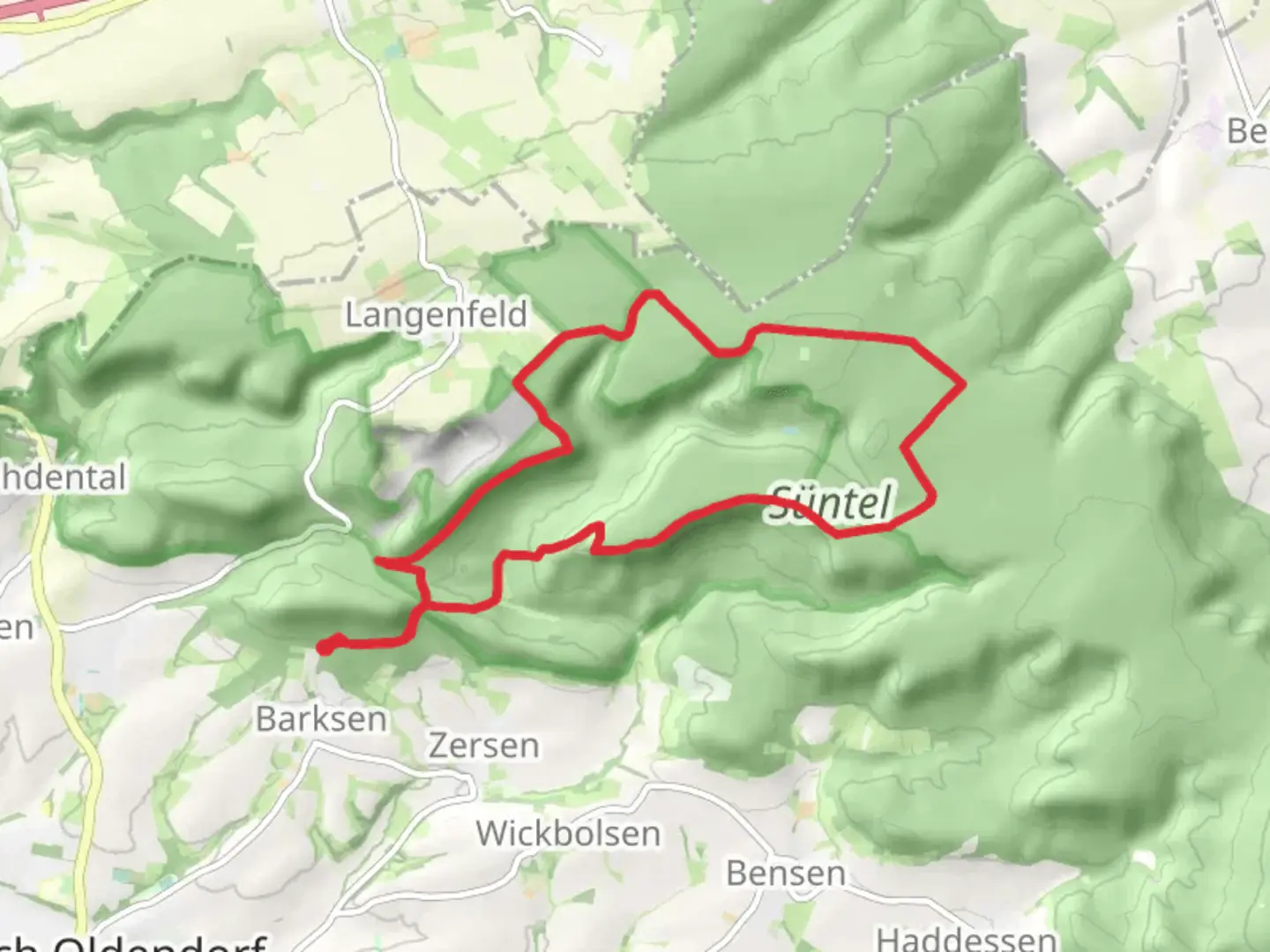
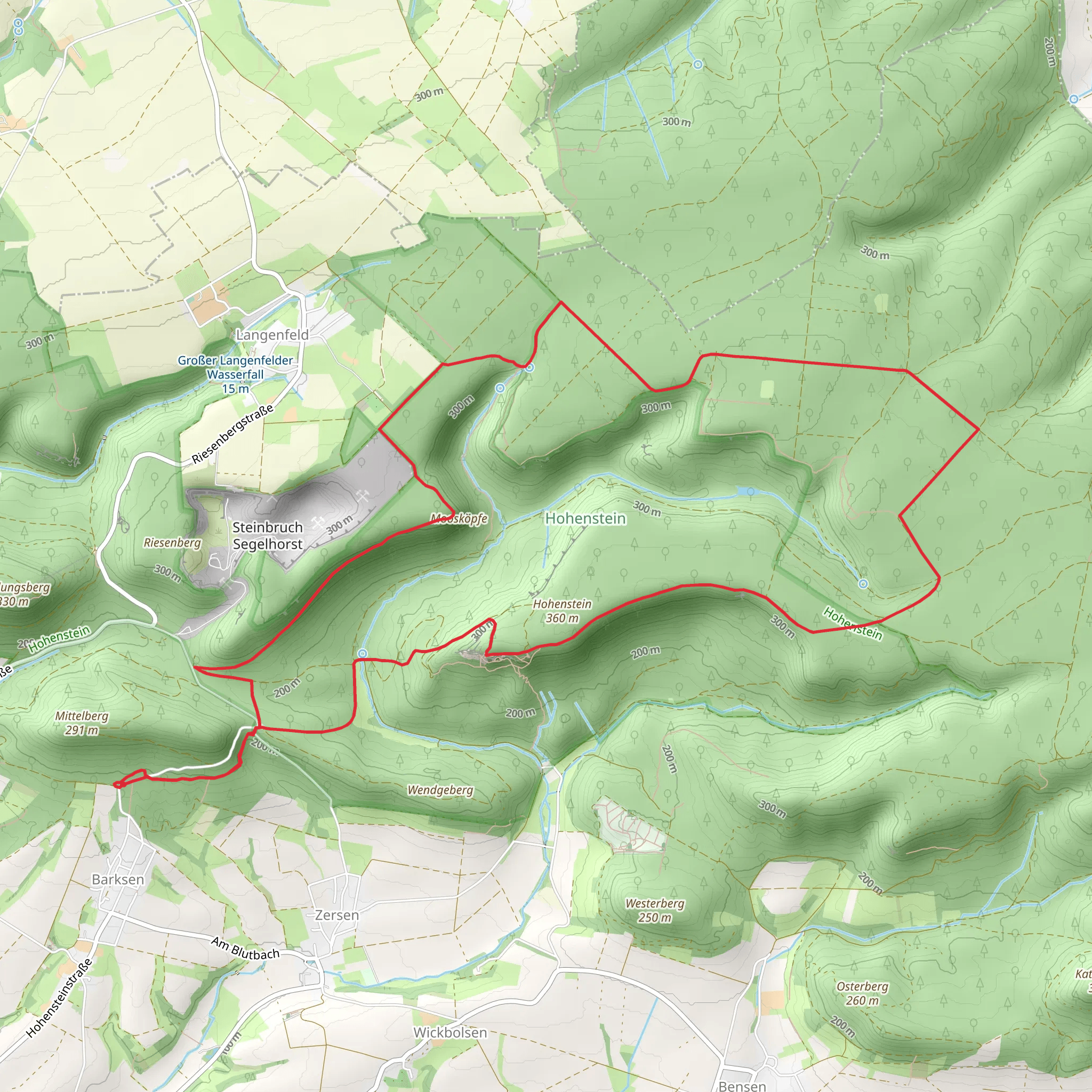
Starting near Hameln-Pyrmont, Germany, the Hohenstein via Deister Suentel Weg Loop is a captivating 15 km (approximately 9.3 miles) trail with an elevation gain of around 300 meters (about 984 feet). This loop trail is rated as medium difficulty, making it suitable for moderately experienced hikers.### Getting There To reach the trailhead, you can drive or use public transport. If driving, set your GPS to Hameln-Pyrmont, and look for parking near the Deister-Süntel-Blick, a well-known viewpoint in the area. For public transport, take a train to Hameln station, and from there, you can catch a local bus to the trailhead. The nearest bus stop is at "Hohenstein," which is a short walk from the starting point.### Trail Overview The trail begins with a gentle ascent through lush forests, offering a serene start to your hike. As you progress, the path becomes steeper, leading you through a mix of deciduous and coniferous trees. The forest is home to a variety of wildlife, including deer, foxes, and numerous bird species, so keep your eyes peeled and your camera ready.### Significant Landmarks Around the 3 km (1.9 miles) mark, you'll encounter the first significant landmark, the Hohenstein cliffs. These impressive rock formations offer stunning views of the surrounding landscape. The cliffs are also a popular spot for rock climbing, so you might see climbers scaling the heights.Continuing along the trail, you'll reach the Deister-Süntel-Blick viewpoint at approximately 7 km (4.3 miles). This spot provides panoramic views of the Deister and Süntel mountain ranges, making it an ideal place for a rest and some photos. The viewpoint is equipped with benches and informational plaques detailing the geological history of the area.### Historical Significance The region around Hameln-Pyrmont is steeped in history. The Deister-Süntel area was once a significant mining region, and remnants of old mining operations can still be seen along the trail. Additionally, the nearby town of Hameln is famous for the legend of the Pied Piper, adding a touch of folklore to your hiking experience.### Navigation and Safety The trail is well-marked, but it's always a good idea to have a reliable navigation tool. HiiKER is an excellent app for this purpose, providing detailed maps and real-time tracking to ensure you stay on course. The trail can be muddy and slippery after rain, so sturdy hiking boots with good grip are recommended.### Flora and Fauna As you make your way back towards the starting point, the trail descends through meadows and mixed woodlands. In spring and summer, these meadows are filled with wildflowers, attracting butterflies and bees. The diverse plant life includes oak, beech, and pine trees, creating a rich tapestry of colors, especially in autumn.### Final Stretch The last few kilometers of the trail are relatively flat, allowing for a leisurely finish to your hike. You'll pass by small streams and possibly encounter local wildlife, such as squirrels and various bird species. The loop brings you back to the starting point near Hameln-Pyrmont, completing a rewarding and scenic hike.This trail offers a mix of natural beauty, historical intrigue, and moderate physical challenge, making it a perfect day hike for those looking to explore the German countryside.
What to expect?
Activity types
Comments and Reviews
User comments, reviews and discussions about the Hohenstein via Deister Suentel Weg Loop, Germany.
4.5
average rating out of 5
2 rating(s)
