Download
Preview
Add to list
More
6.9 km
~1 hrs 42 min
204 m
Point-to-Point
“Journey through Thuringia's lush landscapes and historical sites on this scenic 7 km hike from Endschütz to BergaWalk.”
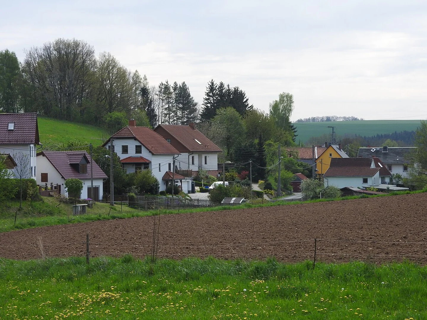
Starting near the picturesque town of Greiz in Germany, the trail from Endschütz to BergaWalk via the River Weiße Elster offers a delightful 7 km (approximately 4.35 miles) journey through the Thuringian countryside. With an elevation gain of around 200 meters (656 feet), this point-to-point trail is rated as medium difficulty, making it suitable for moderately experienced hikers.### Getting There To reach the trailhead, you can either drive or use public transportation. If driving, head towards Greiz and look for parking options near the town center. For those using public transport, Greiz is well-connected by train and bus services. The nearest significant landmark to the trailhead is the Greiz railway station, which is a convenient starting point.### Trail Overview The trail begins near Greiz and follows the serene River Weiße Elster, offering hikers a mix of natural beauty and historical significance. As you set off, you'll be greeted by lush greenery and the gentle sounds of the river. The initial part of the trail is relatively flat, making it a pleasant warm-up for the more challenging sections ahead.### Key Landmarks and Points of Interest - Greiz Castle: Approximately 1 km (0.62 miles) from the start, you'll pass by the majestic Greiz Castle. This historical landmark, dating back to the 12th century, offers a glimpse into the region's rich history. The castle's architecture and surrounding gardens are worth a brief detour. - Weiße Elster River: The trail closely follows the River Weiße Elster for most of its length. This river is not only a natural beauty but also a vital waterway with historical significance, having been a crucial trade route in medieval times. - Thuringian Forest: As you progress, the trail gradually ascends into the Thuringian Forest. This section, around 3 km (1.86 miles) in, offers a moderate climb with an elevation gain of about 100 meters (328 feet). The forest is home to diverse flora and fauna, so keep an eye out for native wildlife such as deer and various bird species.### Trail Navigation Using HiiKER for navigation is highly recommended. The app provides detailed maps and real-time updates, ensuring you stay on the right path. The trail is well-marked, but having a reliable navigation tool can enhance your hiking experience.### Final Stretch to BergaWalk The last 2 km (1.24 miles) of the trail involve a gentle descent towards BergaWalk. This section offers stunning views of the surrounding valleys and the River Weiße Elster. As you approach BergaWalk, you'll notice the landscape gradually opening up, providing a sense of accomplishment as you near the end of your hike.### Historical Significance The region around Greiz and BergaWalk has a rich history, with settlements dating back to the early medieval period. The River Weiße Elster played a crucial role in the development of these settlements, serving as a trade route and a source of sustenance. The trail itself offers a journey through time, with remnants of historical landmarks and natural beauty coexisting harmoniously.This hike from Endschütz to BergaWalk via the River Weiße Elster is a perfect blend of nature, history, and moderate physical challenge, making it a rewarding experience for any hiker.

What to expect?
Activity types
Comments and Reviews
User comments, reviews and discussions about the Endschütz to BergaWalk via River Weiße Elster, Germany.
average rating out of 5
0 rating(s)