Download
Preview
Add to list
More
8.3 km
~2 hrs 22 min
434 m
Loop
“Embark on an 8 km scenic trek from Goslar, conquering Wurmberg and Großer Winterberg with stunning vistas.”
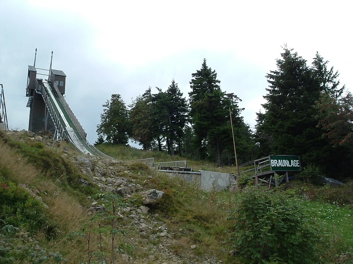
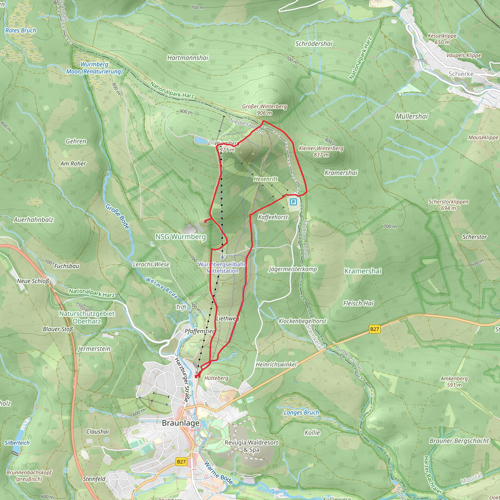
Starting near the charming town of Goslar, Germany, the Wurmberg, Speichersee Wurmberg, and Großer Winterberg Loop offers an invigorating hike of approximately 8 km (5 miles) with an elevation gain of around 400 meters (1,312 feet). This loop trail is rated as medium difficulty, making it suitable for moderately experienced hikers.### Getting There To reach the trailhead, you can either drive or use public transportation. If driving, head towards Goslar and follow signs to the Wurmberg area. For those using public transport, take a train to Goslar station and then a local bus towards Braunlage, getting off at the Wurmberg stop. From there, it's a short walk to the trailhead.### Trail Overview The trail begins with a gentle ascent through dense, mixed forests, offering a serene start to your hike. As you progress, you'll encounter a series of switchbacks that gradually increase in steepness, leading you up towards the Wurmberg summit. This initial section covers about 2 km (1.2 miles) with an elevation gain of approximately 150 meters (492 feet).### Wurmberg Summit At around the 2 km (1.2 miles) mark, you'll reach the Wurmberg summit, the highest peak in Lower Saxony at 971 meters (3,186 feet). Here, you'll find the Wurmberg Ski Jump and a small observation tower. The panoramic views from the summit are breathtaking, offering vistas of the Harz National Park and beyond. Take a moment to enjoy the scenery and perhaps snap a few photos.### Speichersee Wurmberg Continuing on, the trail descends slightly towards the Speichersee Wurmberg, a picturesque reservoir nestled in the mountains. This section is relatively flat and spans about 1.5 km (0.9 miles). The reservoir is a great spot for a short break, where you can enjoy the tranquil waters and surrounding alpine flora.### Großer Winterberg The next segment of the trail takes you towards Großer Winterberg, another notable peak in the area. This part of the hike involves a moderate climb of about 100 meters (328 feet) over 1 km (0.6 miles). The path here is well-marked but can be rocky, so watch your footing. Upon reaching Großer Winterberg, you'll be rewarded with more stunning views and a sense of accomplishment.### Flora and Fauna Throughout the hike, keep an eye out for the diverse wildlife that inhabits the Harz region. You might spot red deer, foxes, and a variety of bird species. The flora is equally impressive, with dense forests of spruce and beech, interspersed with colorful wildflowers in the warmer months.### Historical Significance The Harz Mountains have a rich history, with evidence of human settlement dating back to the Bronze Age. The region was also a significant mining area during the Middle Ages, and remnants of this history can still be seen in the form of old mining structures and equipment scattered along the trail.### Navigation For navigation, it's highly recommended to use the HiiKER app, which provides detailed maps and real-time updates to ensure you stay on the right path. The trail is generally well-marked, but having a reliable navigation tool can enhance your hiking experience.### Final Stretch The final stretch of the loop brings you back towards the starting point near Goslar. This descent covers about 3.5 km (2.2 miles) and is relatively gentle, allowing you to enjoy the final moments of your hike without too much strain. As you make your way back, you'll pass through more beautiful forested areas, completing the loop in a satisfying and scenic manner.
What to expect?
Activity types
Comments and Reviews
User comments, reviews and discussions about the Wurmberg, Speichersee Wurmberg and Großer Winterberg Loop, Germany.
4.33
average rating out of 5
6 rating(s)

