Download
Preview
Add to list
More
11.1 km
~3 hrs 30 min
769 m
Loop
“The Lautersee and Grünkopf Loop offers stunning scenery, moderate challenge, and historical depth near Mittenwald.”
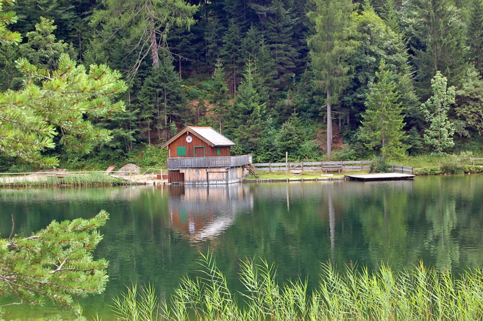
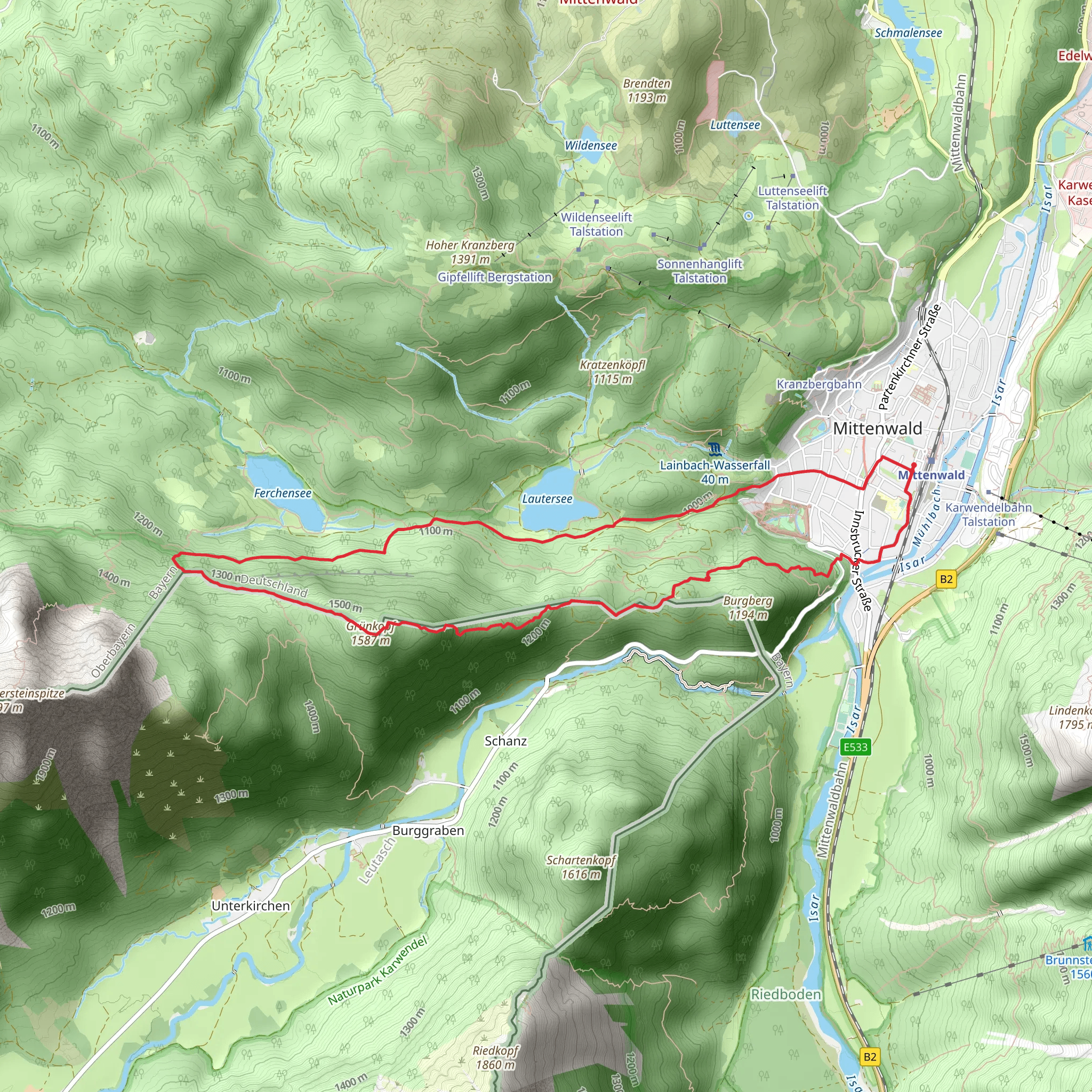
Starting near the picturesque town of Mittenwald, close to Garmisch-Partenkirchen, Germany, the Lautersee and Grünkopf Loop via Wanderweg 821 offers a captivating 11 km (6.8 miles) journey with an elevation gain of approximately 700 meters (2,297 feet). This loop trail is rated medium in difficulty, making it suitable for moderately experienced hikers.Getting ThereTo reach the trailhead, you can either drive or use public transportation. If driving, head towards Mittenwald and look for parking near the Lautersee area. For those using public transport, take a train to Mittenwald station. From there, it's a short bus ride or a pleasant walk to the trailhead.Trail OverviewThe trail begins near Lautersee, a serene alpine lake known for its crystal-clear waters and stunning reflections of the surrounding mountains. As you start your hike, you'll be greeted by the tranquil beauty of the lake, making it an ideal spot for a brief pause or some early morning photography.Lautersee to GrünkopfFrom Lautersee, the trail ascends gradually through dense forests and open meadows. The first significant landmark is the ascent towards Grünkopf, a peak that offers panoramic views of the Karwendel and Wetterstein mountain ranges. This section of the trail is approximately 5 km (3.1 miles) in, with an elevation gain of about 400 meters (1,312 feet). The climb can be steep in parts, so be prepared with sturdy hiking boots and trekking poles.Flora and FaunaAs you hike, keep an eye out for the diverse flora and fauna. The region is home to a variety of alpine plants, including edelweiss and gentian. Wildlife enthusiasts might spot chamois, marmots, and a variety of bird species, including golden eagles and alpine choughs.Historical SignificanceMittenwald and its surroundings have a rich history, particularly in violin making. The town is renowned for its craftsmanship, and you might notice historical markers or even visit the Geigenbaumuseum (Violin Making Museum) before or after your hike. The trail itself has been used for centuries by locals and travelers, adding a layer of historical depth to your journey.Grünkopf to MittenwaldAfter reaching the summit of Grünkopf, the trail descends back towards Mittenwald. This section is around 6 km (3.7 miles) and offers a mix of forested paths and open areas with stunning views of the valley below. The descent can be challenging, so take your time and enjoy the scenery.Navigation and SafetyFor navigation, it's highly recommended to use the HiiKER app, which provides detailed maps and real-time tracking to ensure you stay on course. The trail is well-marked, but having a reliable navigation tool is always a good idea.Final StretchAs you approach the end of the loop, you'll pass by Lautersee once more, offering a perfect opportunity to relax by the water and reflect on your hike. The trail concludes back at the starting point near Mittenwald, where you can easily catch public transport or head back to your car.This loop trail offers a perfect blend of natural beauty, moderate challenge, and historical intrigue, making it a must-do for any hiking enthusiast visiting the Garmisch-Partenkirchen region.
What to expect?
Activity types
Comments and Reviews
User comments, reviews and discussions about the Lautersee and Grünkopf Loop via Wanderweg 821 - Mittenwald, Germany.
4.33
average rating out of 5
3 rating(s)

