Download
Preview
Add to list
More
10.1 km
~2 hrs 31 min
302 m
Loop
“The Haselstein Loop near Fulda offers stunning views, historical landmarks, and a moderate hiking challenge.”
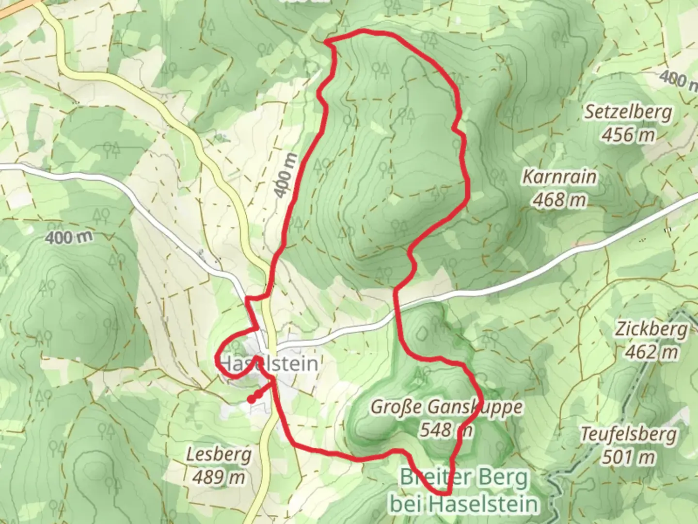
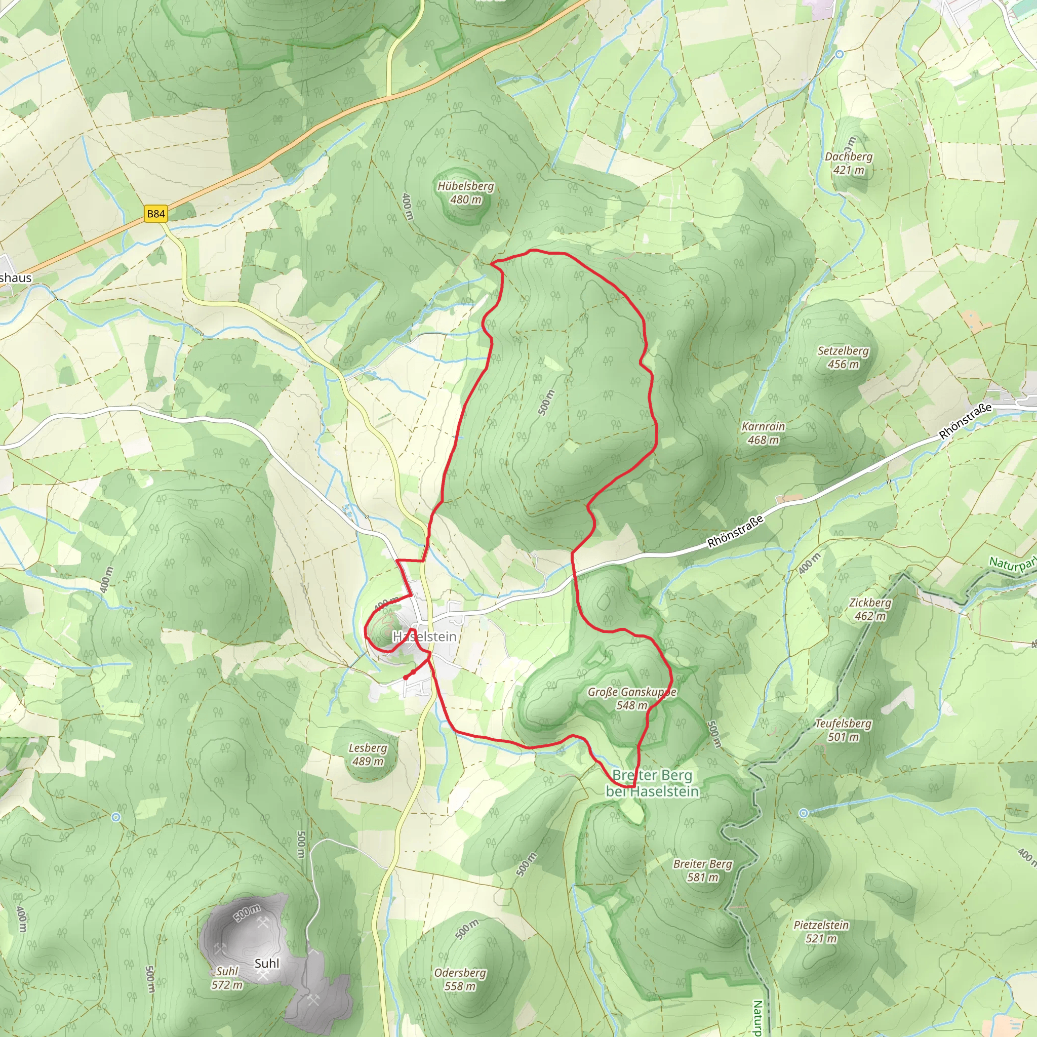
Starting near the charming town of Fulda, Germany, the Haselstein Loop is a delightful 10 km (6.2 miles) trail with an elevation gain of approximately 300 meters (984 feet). This loop trail offers a medium difficulty rating, making it suitable for moderately experienced hikers looking for a rewarding day hike.
Getting There To reach the trailhead, you can either drive or use public transport. If driving, head towards Fulda and follow signs to the nearby village of Dipperz, where you can find parking options close to the trailhead. For those using public transport, take a train to Fulda Station. From there, you can catch a local bus to Dipperz, which is a short ride away. The trailhead is conveniently located near the village, making it easily accessible.
Trail Overview The Haselstein Loop begins with a gentle ascent through lush deciduous forests, offering a serene start to your hike. As you progress, the trail becomes steeper, leading you to the first significant landmark, the Haselstein rock formation, approximately 3 km (1.9 miles) into the hike. This natural rock outcrop provides stunning panoramic views of the surrounding Rhön Mountains and is an excellent spot for a short break and some photography.
Flora and Fauna The trail is rich in biodiversity. As you hike, you'll pass through mixed forests of beech, oak, and spruce. In spring and summer, the forest floor is carpeted with wildflowers, including wood anemones and bluebells. Keep an eye out for local wildlife such as deer, foxes, and a variety of bird species, including woodpeckers and owls.
Historical Significance The region around Fulda has a rich history dating back to the early Middle Ages. The Haselstein rock itself has historical significance, as it was once a lookout point used by local tribes. Nearby, you can also find remnants of ancient fortifications and boundary stones that mark historical territorial limits.
Navigation and Waypoints For navigation, it's highly recommended to use the HiiKER app, which provides detailed maps and real-time GPS tracking. Key waypoints to note include the Haselstein rock formation at the 3 km (1.9 miles) mark and the scenic viewpoint at around 6 km (3.7 miles), where you can enjoy a panoramic view of the Fulda valley.
Final Stretch The final stretch of the loop takes you through open meadows and past small streams, gradually descending back towards Dipperz. This part of the trail is less strenuous and offers a peaceful end to your hike. As you approach the village, you'll pass by traditional German farmhouses and may even encounter some friendly locals.
Practical Tips - Wear sturdy hiking boots, as parts of the trail can be rocky and uneven. - Bring sufficient water and snacks, especially during warmer months. - Check the weather forecast before heading out, as conditions can change rapidly in the mountains. - Use the HiiKER app for navigation to ensure you stay on the correct path.
The Haselstein Loop is a rewarding hike that combines natural beauty, historical intrigue, and a moderate physical challenge, making it a must-visit for hikers in the Fulda region.
What to expect?
Activity types
Comments and Reviews
User comments, reviews and discussions about the Haselstein Loop, Germany.
4.5
average rating out of 5
4 rating(s)
