Download
Preview
Add to list
More
10.3 km
~2 hrs 38 min
353 m
Point-to-Point
“Discover the scenic 10 km Black Forest trail from Freudenstadt to Kniebis, rich in nature and history.”
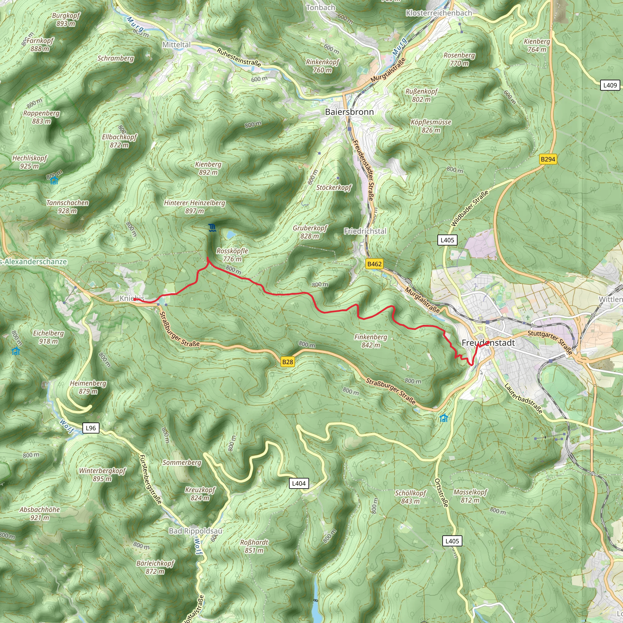
Starting near the picturesque town of Freudenstadt in Germany, this trail stretches approximately 10 km (6.2 miles) and offers an elevation gain of around 300 meters (984 feet). The trail is a point-to-point route, making it essential to plan your return journey in advance.
Getting There Freudenstadt is well-connected by public transport. If you're traveling by train, you can take a regional train to Freudenstadt Hauptbahnhof. From there, local buses or a short taxi ride will get you to the trailhead. If you're driving, there are several parking options in Freudenstadt, including near the town center and at the trailhead itself.
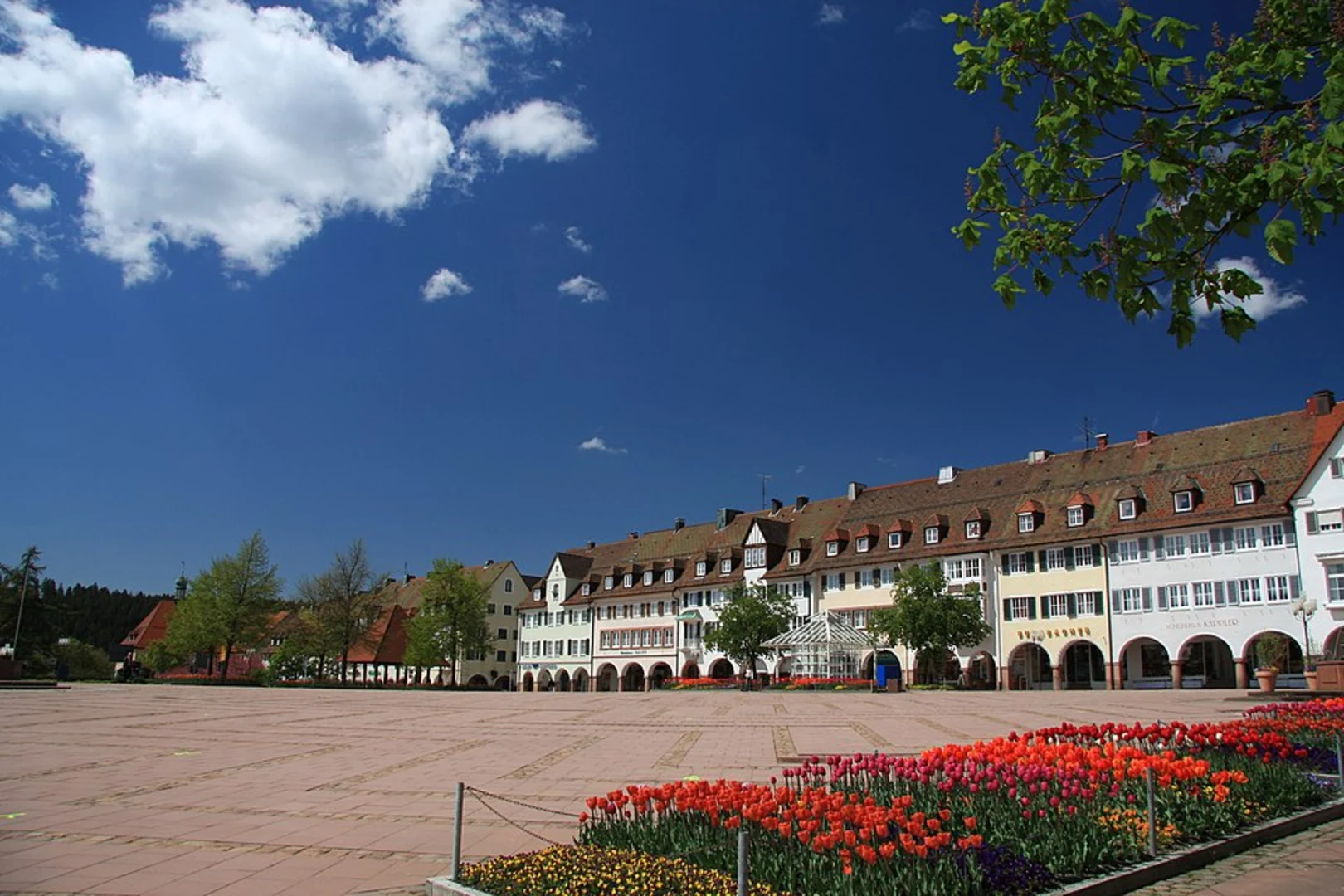
Trail Overview The trail begins near Freudenstadt, a town known for its large market square and charming half-timbered houses. As you set off, you'll quickly find yourself immersed in the lush greenery of the Black Forest. The initial part of the trail is relatively gentle, allowing you to ease into the hike.
Significant Landmarks and Nature Around the 2 km (1.2 miles) mark, you'll come across the Friedrichsturm, a historic tower offering panoramic views of the surrounding forest and valleys. This is a great spot for a short break and some photos.
Continuing on, the trail becomes more challenging as you approach the 5 km (3.1 miles) point, where the elevation gain becomes more noticeable. Here, you'll be hiking through dense forest, with towering pine trees and a rich understory of ferns and wildflowers. Keep an eye out for local wildlife, including deer and various bird species.
Historical Significance The region has a rich history, with Freudenstadt itself founded in 1599 by Duke Frederick I of Württemberg. The trail passes through areas that were historically significant for timber and glass production, industries that were vital to the local economy for centuries.
Navigation and Safety Given the dense forest and potential for fog, it's advisable to use a reliable navigation tool like HiiKER to stay on track. The trail is well-marked, but having a digital map can provide extra assurance.
Final Stretch to Kniebis As you near the end of the trail, around the 8 km (5 miles) mark, you'll start to descend towards Kniebis. This section offers stunning views of the surrounding valleys and is particularly beautiful in the late afternoon light. The trail concludes in the small village of Kniebis, known for its spa facilities and traditional Black Forest hospitality.
Return Journey From Kniebis, you can catch a bus back to Freudenstadt or arrange for a taxi. If you've driven, you might want to consider parking a second vehicle in Kniebis for convenience.
This trail offers a perfect blend of natural beauty, historical landmarks, and moderate physical challenge, making it a rewarding experience for hikers of all levels.
Comments and Reviews
User comments, reviews and discussions about the Freudenstadt - Kniebis, Germany.
4.17
average rating out of 5
6 rating(s)

