Download
Preview
Add to list
More
11.6 km
~3 hrs 9 min
507 m
Point-to-Point
“Embark on a scenic 12 km hike from Freudenstadt to Kniebis, featuring waterfalls, historical sites, and panoramic views.”
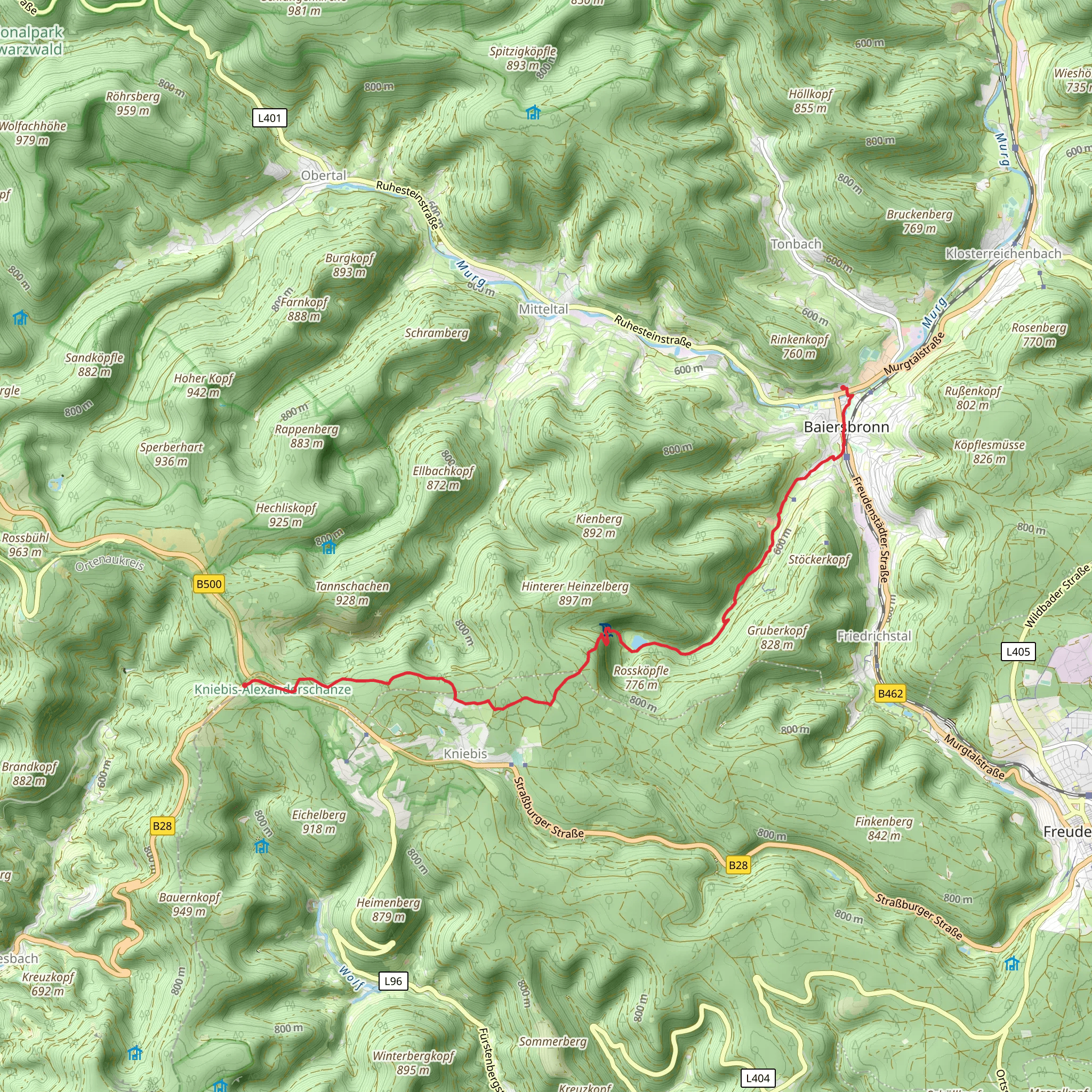
Starting near Freudenstadt, Germany, this 12 km (7.5 miles) point-to-point trail offers a medium difficulty hike with an elevation gain of approximately 500 meters (1,640 feet). The trailhead is conveniently accessible by both public transport and car. If you're traveling by train, Freudenstadt Hauptbahnhof is the nearest major station, and from there, local buses can take you closer to the trailhead. For those driving, parking is available near the starting point.
Initial Ascent and Forest Pathways
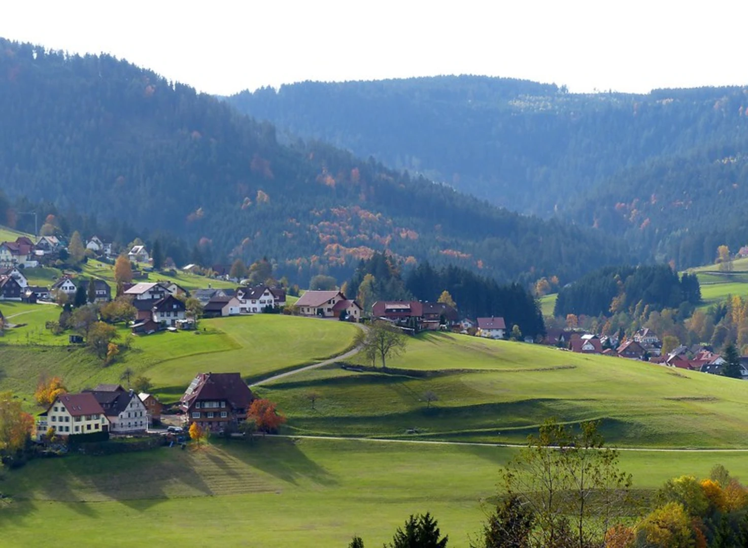
The hike begins with a gentle ascent through dense forest, providing a serene and shaded environment. The initial 3 km (1.9 miles) will see you gaining about 150 meters (492 feet) in elevation. The forest is rich with native flora, including towering pines and a variety of ferns. Keep an eye out for local wildlife such as deer and various bird species.
Sankenbach Waterfalls and Lake
Around the 4 km (2.5 miles) mark, you'll encounter the Sankenbach Waterfalls, a stunning natural feature that cascades down a series of rocky steps. This is a great spot for a short break and some photography. Just beyond the waterfalls, you'll find Sankenbach Lake, a tranquil body of water surrounded by lush greenery. The lake area is perfect for a picnic or a moment of reflection.
Historical Significance
As you continue, the trail takes you through areas steeped in history. The Black Forest region has a rich cultural heritage, with many trails originally used by traders and pilgrims. The path itself may have been trodden by historical figures and local inhabitants for centuries.
Midway Point and Elevation Gain
By the time you reach the halfway point, you'll have covered approximately 6 km (3.7 miles) and gained around 300 meters (984 feet) in elevation. The trail becomes steeper here, so be prepared for a more challenging ascent. The forest begins to thin out, offering occasional panoramic views of the surrounding valleys and hills.
Alexanderschanze
Approaching the 9 km (5.6 miles) mark, you'll come across Alexanderschanze, a historical site named after Duke Alexander of Württemberg. This area was once a strategic military point and now serves as a reminder of the region's storied past. The elevation here is around 800 meters (2,625 feet), providing breathtaking views.
Final Stretch to Kniebis
The last 3 km (1.9 miles) of the trail lead you to Kniebis, a small village known for its picturesque landscapes and traditional Black Forest architecture. The descent is gradual, allowing you to enjoy the scenery without too much strain. Kniebis is well-connected by local buses, making it easy to return to Freudenstadt or continue your journey.
Navigation and Safety
For navigation, it's highly recommended to use HiiKER, which provides detailed maps and real-time updates. The trail is well-marked, but having a reliable navigation tool ensures you stay on track. Always carry sufficient water, snacks, and appropriate clothing, as weather conditions can change rapidly in the Black Forest.
This trail offers a blend of natural beauty, historical intrigue, and moderate physical challenge, making it a rewarding experience for hikers of all levels.
What to expect?
Activity types
Comments and Reviews
User comments, reviews and discussions about the Baiersbronn to Kniebis Alexanderschanze via Sakenbach Furt, Germany.
average rating out of 5
0 rating(s)

