Download
Preview
Add to list
More
7.4 km
~1 hrs 55 min
266 m
Loop
“Experience history, nature, and stunning views on the 7 km Weißenohe and Gräfenberg Loop Trail.”
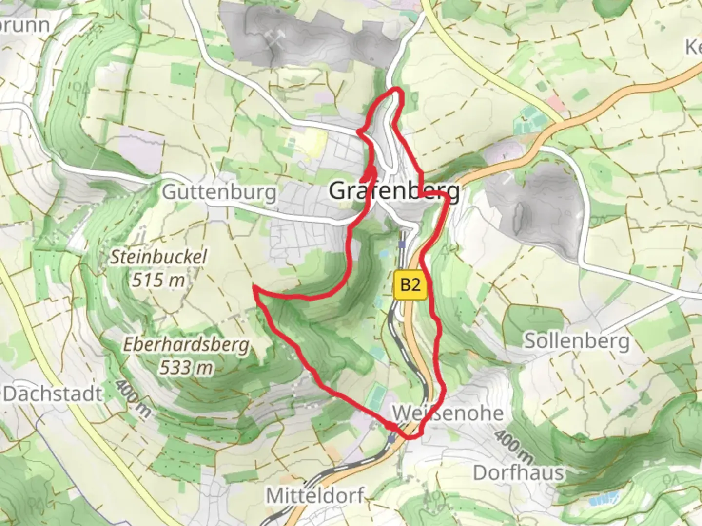
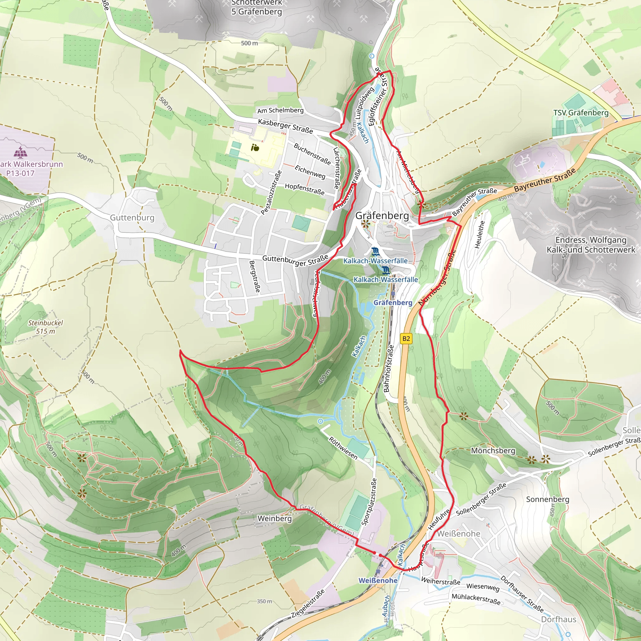
Starting near Forchheim, Germany, the Weißenohe and Gräfenberg Loop is a delightful 7 km (4.35 miles) loop trail with an elevation gain of approximately 200 meters (656 feet). This trail is rated as medium difficulty, making it suitable for hikers with some experience.### Getting There To reach the trailhead, you can either drive or use public transport. If driving, head towards the small town of Weißenohe, which is easily accessible from Forchheim. For those using public transport, take a train to Forchheim and then a local bus to Weißenohe. The trailhead is conveniently located near the Weißenohe Abbey, a significant landmark that is hard to miss.### Trail Overview The trail begins near the historic Weißenohe Abbey, a Benedictine monastery founded in the 11th century. This abbey is not only a spiritual site but also a beautiful example of Romanesque architecture. As you start your hike, you'll be surrounded by lush greenery and the serene sounds of nature.### Key Sections and Landmarks
Weißenohe Abbey to Gräfenberg
The initial section of the trail takes you through dense forests and open meadows. Approximately 2 km (1.24 miles) into the hike, you'll encounter a gentle ascent, gaining about 100 meters (328 feet) in elevation. This part of the trail offers stunning views of the surrounding Franconian landscape, characterized by rolling hills and picturesque villages.#### Gräfenberg At around the 3.5 km (2.17 miles) mark, you'll reach the charming town of Gräfenberg. This town is known for its medieval architecture and cobblestone streets. Take a moment to explore the town square and perhaps visit one of the local bakeries for a quick snack. Gräfenberg also has a rich brewing history, so if you have time, consider visiting one of the traditional breweries.### Flora and Fauna The trail is rich in biodiversity. As you hike, you'll notice a variety of plant species, including oak, beech, and pine trees. In the spring and summer months, the meadows are adorned with wildflowers, attracting butterflies and bees. Keep an eye out for local wildlife such as deer, foxes, and various bird species, including woodpeckers and owls.### Navigation and Safety For navigation, it is highly recommended to use the HiiKER app, which provides detailed maps and real-time updates. The trail is well-marked, but having a reliable navigation tool will ensure you stay on track. Wear sturdy hiking boots, as some sections can be rocky and uneven. Carry enough water and snacks, especially if you plan to take breaks and explore the towns along the way.### Final Stretch The final leg of the loop brings you back towards Weißenohe. This section is mostly downhill, making for a pleasant and relaxing end to your hike. As you approach the trailhead, you'll pass through more forested areas and open fields, offering a peaceful conclusion to your journey.This trail offers a perfect blend of natural beauty, historical landmarks, and quaint towns, making it a rewarding experience for any hiker.
What to expect?
Activity types
Comments and Reviews
User comments, reviews and discussions about the Weißenohe and Gräfenberg Loop, Germany.
4.0
average rating out of 5
3 rating(s)
