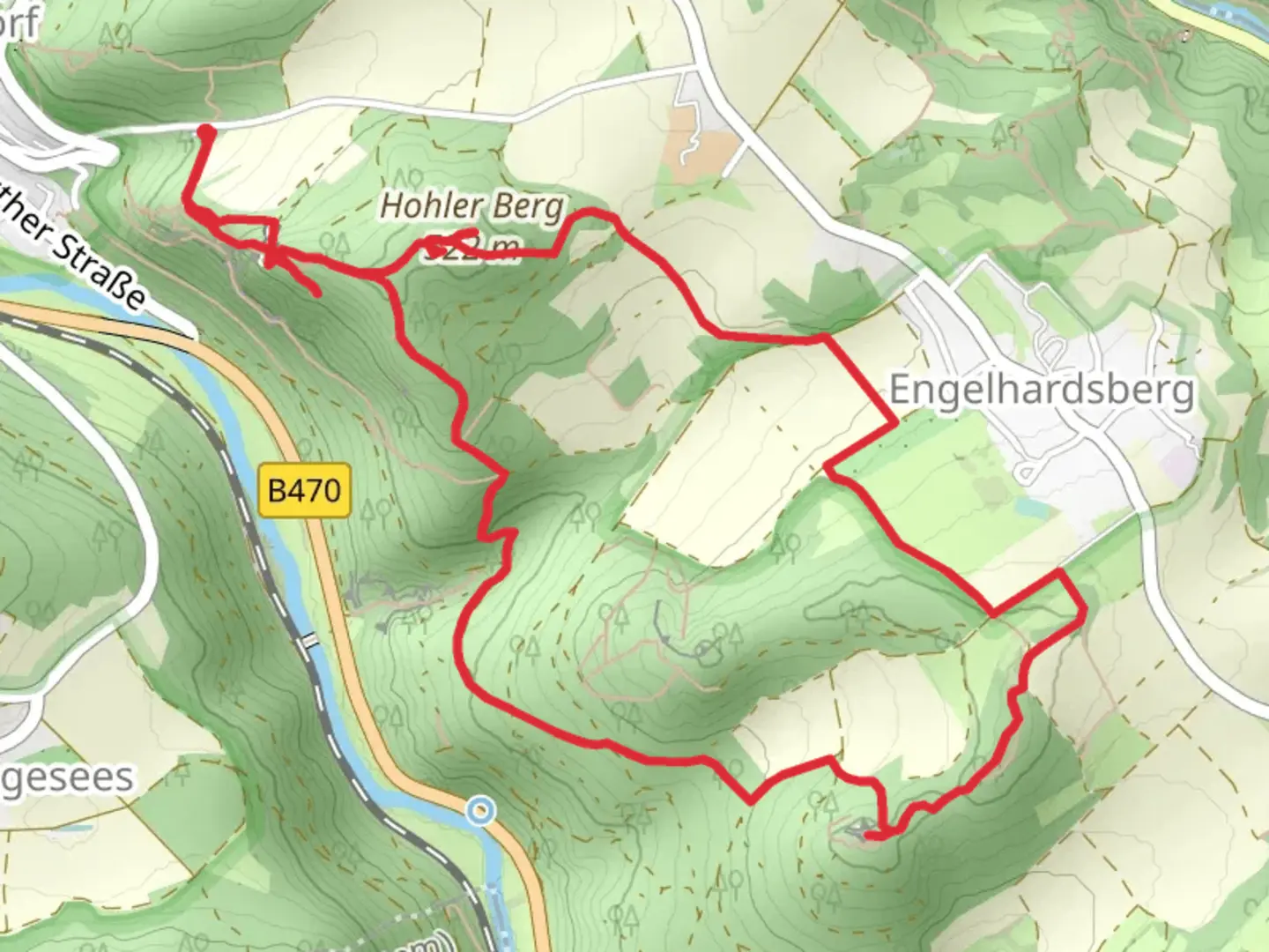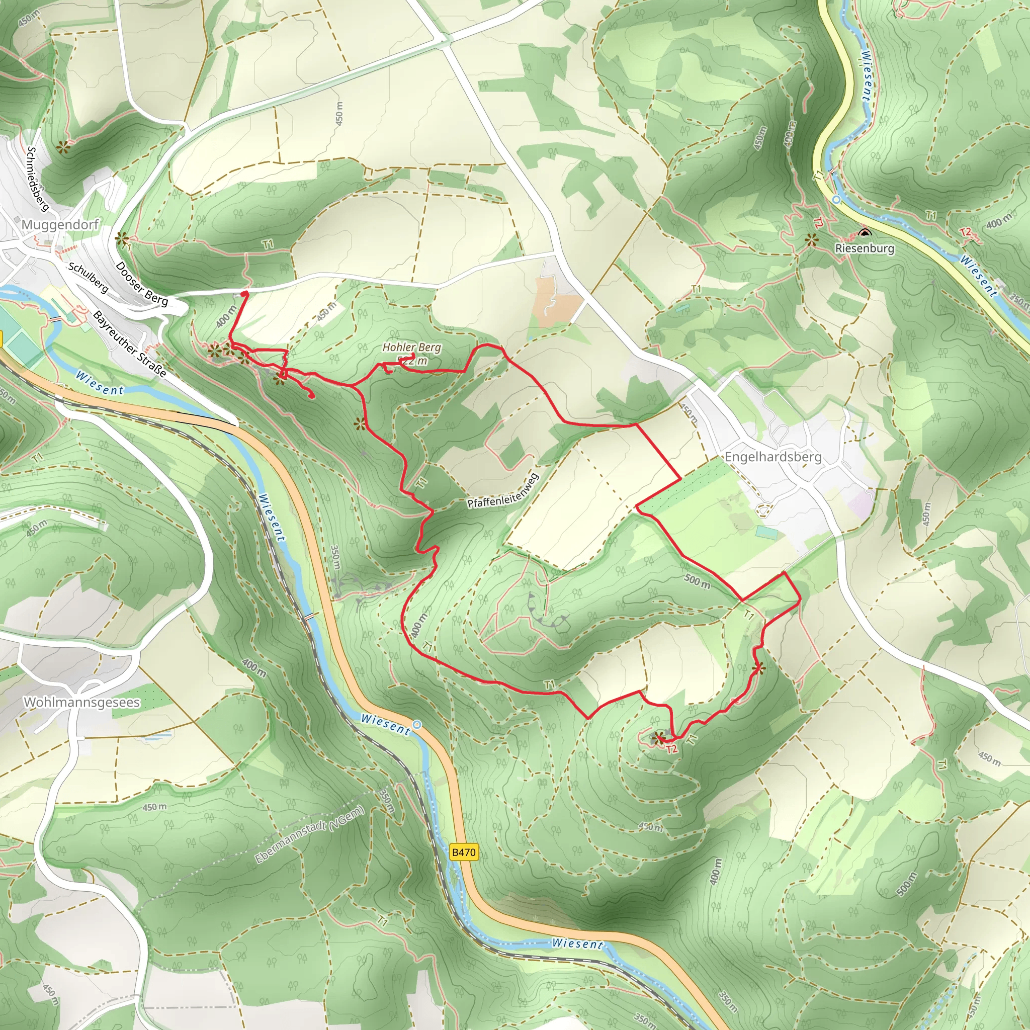
Oswaldhöhle, Adlerstein and Hohler Berg Loop via Heinrich Uhl Weg
Download
Preview
Add to list
More
6.9 km
~2 hrs 10 min
486 m
Loop
“Explore natural beauty, historical landmarks, and diverse wildlife on Forchheim's captivating 7 km loop trail.”
Starting near Forchheim, Germany, the Oswaldhöhle, Adlerstein, and Hohler Berg Loop via Heinrich Uhl Weg is a captivating 7 km (4.35 miles) loop trail with an elevation gain of approximately 400 meters (1,312 feet). This medium-difficulty trail offers a blend of natural beauty, historical landmarks, and diverse wildlife, making it a rewarding experience for hikers.### Getting There To reach the trailhead, you can either drive or use public transport. If driving, head towards Forchheim and look for parking near the Heinrich Uhl Weg. For those using public transport, take a train to Forchheim station and then a local bus or taxi to the trailhead.### Trail Highlights#### Oswaldhöhle Approximately 1.5 km (0.93 miles) into the hike, you'll encounter Oswaldhöhle, a fascinating cave that has been a point of interest for centuries. The cave is named after Saint Oswald, and it offers a cool respite from the hike. Make sure to bring a flashlight if you plan to explore inside.#### Adlerstein Continuing for another 2 km (1.24 miles), you'll reach Adlerstein, a prominent rock formation that offers stunning views of the surrounding landscape. The climb to Adlerstein is steep but manageable, and the panoramic views from the top are well worth the effort. This section of the trail gains about 150 meters (492 feet) in elevation.#### Hohler Berg The trail then leads you to Hohler Berg, another significant geological feature. This part of the hike is relatively easier, with a gradual ascent of around 100 meters (328 feet) over 1.5 km (0.93 miles). The area is rich in flora and fauna, so keep an eye out for local wildlife such as deer and various bird species.### Historical Significance The region around Forchheim has a rich history dating back to the Middle Ages. The trail itself is named after Heinrich Uhl, a local historian who documented much of the area's past. As you hike, you'll come across several informational plaques that provide insights into the historical significance of the landmarks you encounter.### Navigation and Safety Given the trail's moderate difficulty, it's advisable to use a reliable navigation tool like HiiKER to stay on track. The trail is well-marked, but having a digital map can be helpful, especially in areas with dense foliage.### Flora and Fauna The trail traverses through mixed forests, meadows, and rocky outcrops, offering a diverse range of plant life. In spring and summer, the meadows are adorned with wildflowers, while the forests provide a cool canopy. Wildlife is abundant, so you might spot deer, foxes, and a variety of bird species.### Final Stretch The last 2 km (1.24 miles) of the loop take you through a serene forested area, gradually descending back to the trailhead. This section is relatively easy, allowing you to cool down and reflect on the hike.This trail offers a perfect blend of natural beauty, historical landmarks, and moderate physical challenge, making it an excellent choice for hikers looking to explore the scenic and historical richness of the Forchheim region.
What to expect?
Activity types
Comments and Reviews
User comments, reviews and discussions about the Oswaldhöhle, Adlerstein and Hohler Berg Loop via Heinrich Uhl Weg, Germany.
4.83
average rating out of 5
6 rating(s)
