Download
Preview
Add to list
More
2.9 km
~52 min
178 m
Out and Back
“Embark on the Teckberg Peak Walk for stunning views, historical charm, and a moderate hiking challenge.”
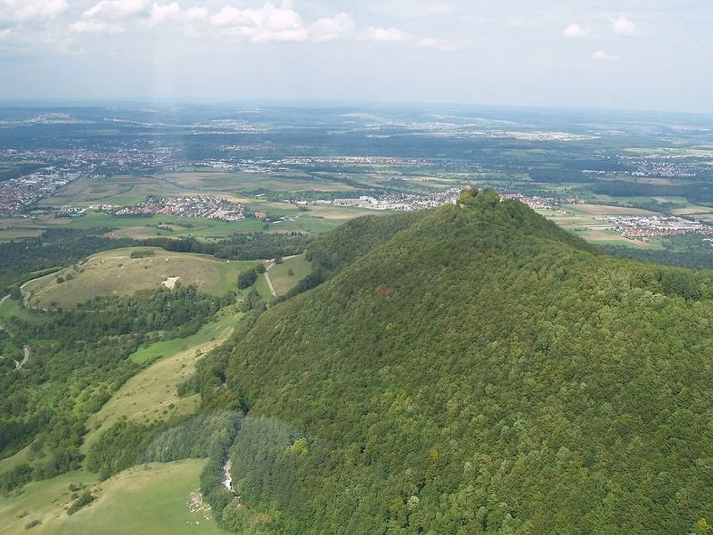
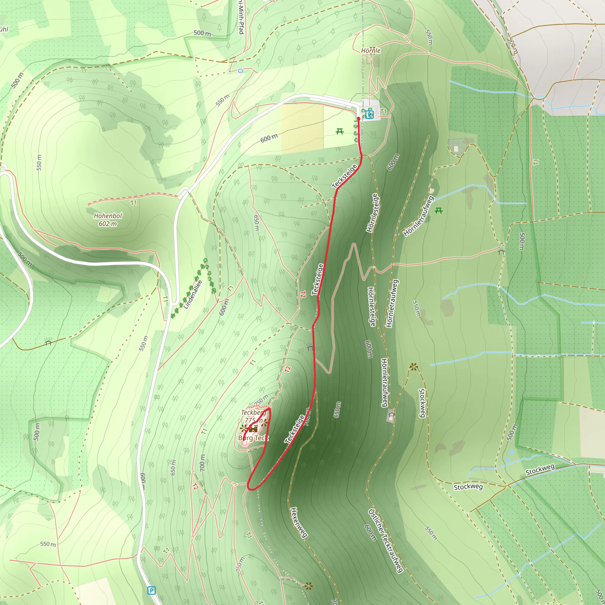
Starting near the picturesque town of Esslingen, Germany, the Teckberg Peak Walk via Hochgehadelt is an invigorating out-and-back trail that spans approximately 3 km (1.86 miles) with an elevation gain of around 100 meters (328 feet). This trail is rated as medium difficulty, making it suitable for moderately experienced hikers.### Getting There To reach the trailhead, you can either drive or use public transportation. If you're driving, head towards Esslingen and look for parking near the base of the trail. For those using public transport, take a train to Esslingen Station. From there, local buses or a short taxi ride will get you to the trailhead.### Trail Overview The trail begins near Esslingen, a town known for its medieval architecture and historical significance. As you start your hike, you'll be greeted by a well-marked path that meanders through lush forests and open meadows. The initial section is relatively flat, allowing you to warm up before the ascent begins.### Flora and Fauna As you progress, you'll notice a diverse range of flora, including oak, beech, and pine trees. During spring and summer, the trail is adorned with wildflowers, adding a splash of color to your hike. Keep an eye out for local wildlife such as deer, foxes, and a variety of bird species. The forested areas provide ample shade, making it a pleasant hike even on warmer days.### Historical Significance The region around Esslingen has a rich history dating back to Roman times. As you hike, you'll come across remnants of ancient settlements and possibly even some old Roman roads. The area was also significant during the medieval period, and you might spot ruins of old watchtowers or fortifications along the way.### Key Landmarks At approximately 1.5 km (0.93 miles) into the hike, you'll reach a scenic viewpoint offering panoramic views of the surrounding valleys and the town of Esslingen below. This is a great spot to take a break and soak in the natural beauty.Continuing on, the trail becomes steeper as you approach Teckberg Peak. The final ascent is a bit challenging but manageable, with the path becoming rockier. Upon reaching the peak, you'll be rewarded with breathtaking views of the Swabian Alps and the surrounding countryside.### Navigation For navigation, it's highly recommended to use HiiKER, which provides detailed maps and real-time updates to ensure you stay on the right path. The trail is well-marked, but having a reliable navigation tool can enhance your hiking experience.### Return Journey The return journey follows the same path back to the trailhead. The descent is easier on the legs, allowing you to enjoy the scenery from a different perspective. Make sure to pace yourself and take breaks as needed.### Final Tips - Wear sturdy hiking boots as the trail can be rocky in sections. - Bring plenty of water and snacks, especially if you plan to take your time and enjoy the views. - Check the weather forecast before heading out, as conditions can change rapidly. - Be mindful of local wildlife and respect their habitat.This hike offers a perfect blend of natural beauty, historical intrigue, and moderate physical challenge, making it a rewarding experience for those who undertake it.
What to expect?
Activity types
Comments and Reviews
User comments, reviews and discussions about the Teckberg Peak Walk via Hochgehadelt, Germany.
5.0
average rating out of 5
4 rating(s)

