Download
Preview
Add to list
More
6.8 km
~2 hrs 3 min
427 m
Loop
“Embark on a scenic 7 km hike through the Swabian Alps, rich in history, nature, and panoramic views.”
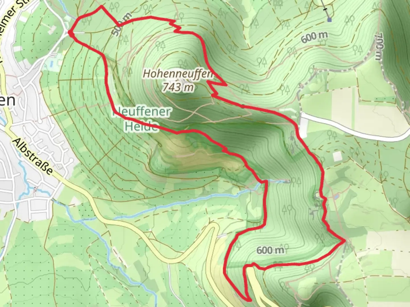
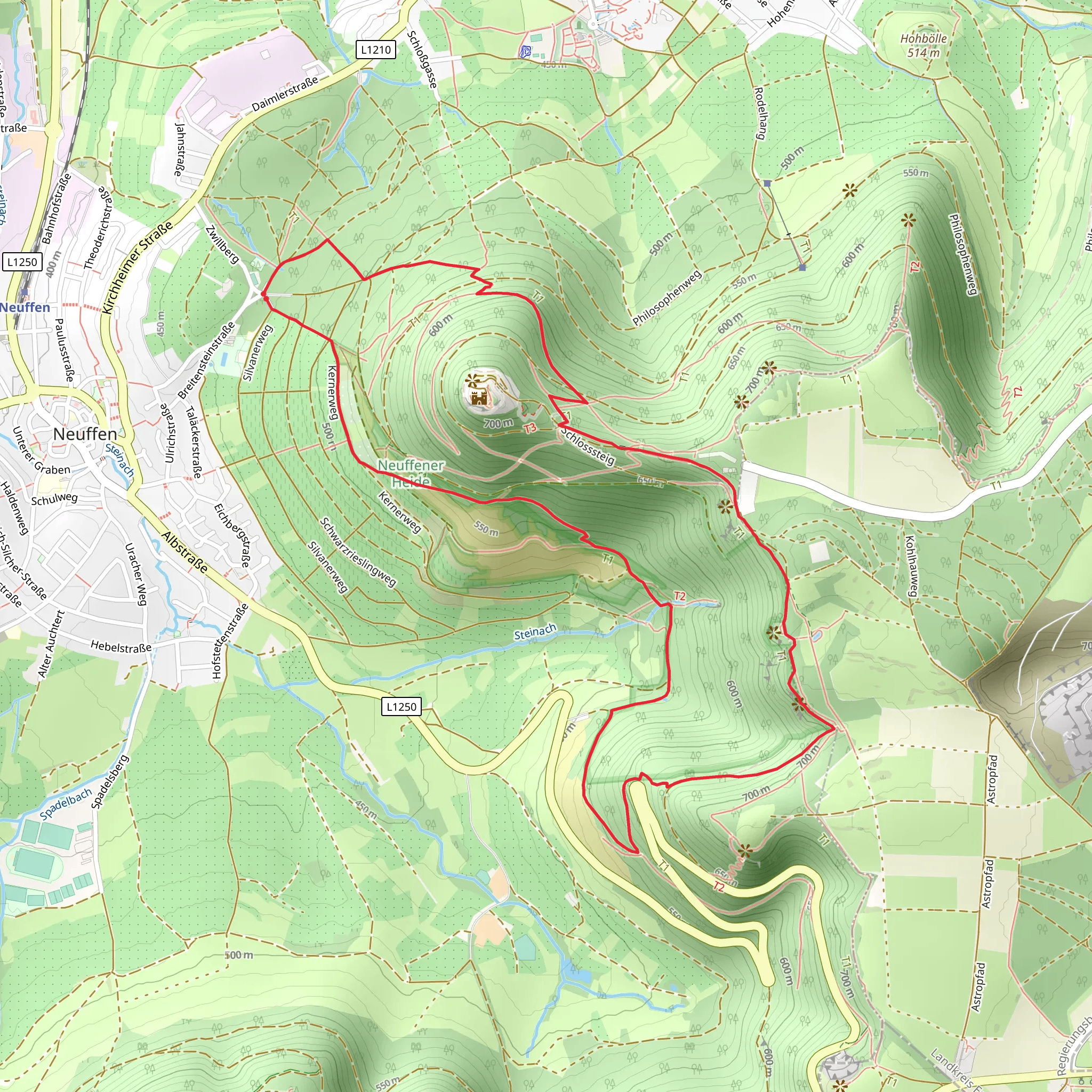
Starting near the picturesque town of Esslingen, Germany, the Hochgehfestigt and Hochgehkeltert Loop offers a delightful 7 km (4.3 miles) journey through the Swabian Alps, with an elevation gain of approximately 400 meters (1,312 feet). This loop trail is rated as medium difficulty, making it suitable for moderately experienced hikers.
Getting There To reach the trailhead, you can either drive or use public transport. If driving, set your GPS to Esslingen, a charming town known for its medieval architecture and vineyards. There are several parking options available in the town. For those using public transport, Esslingen is well-connected by train from Stuttgart. From the Esslingen train station, local buses can take you closer to the trailhead.
Trail Navigation For navigation, it is highly recommended to use the HiiKER app, which provides detailed maps and real-time updates to ensure you stay on the right path.
Trail Highlights As you embark on the trail, you will be greeted by a mix of dense forests and open meadows. The initial part of the hike involves a steady ascent, offering panoramic views of the surrounding countryside. At around the 2 km (1.2 miles) mark, you will reach a vantage point that provides a stunning overlook of the Neckar River Valley.
Historical Significance The region around Esslingen is steeped in history. Esslingen itself dates back to the 8th century and was an important trading center during the Middle Ages. As you hike, you may come across remnants of ancient fortifications and old wine presses, a nod to the area's long-standing tradition of viticulture.
Flora and Fauna The trail is rich in biodiversity. In the spring and summer months, the meadows are adorned with wildflowers, while the forests are home to a variety of bird species. Keep an eye out for deer and other small mammals that inhabit the area.
Midpoint and Elevation At approximately the 4 km (2.5 miles) mark, you will reach the highest point of the trail, offering a breathtaking view of the Swabian Alps. This is a great spot to take a break and enjoy a packed lunch.
Descent and Return The descent begins gradually, winding through more forested areas. As you approach the end of the loop, you will pass through several vineyards, a testament to the region's wine-making heritage. The final stretch of the trail brings you back to the starting point near Esslingen.
Practical Tips - Wear sturdy hiking boots, as the trail can be uneven in places. - Bring plenty of water, especially during the warmer months. - Check the weather forecast before you go, as conditions can change rapidly. - Use the HiiKER app for real-time navigation and updates.
This trail offers a perfect blend of natural beauty, historical intrigue, and moderate physical challenge, making it a rewarding experience for any hiker.
Comments and Reviews
User comments, reviews and discussions about the Hochgehfestigt and Hochgehkeltert Loop, Germany.
4.67
average rating out of 5
3 rating(s)
