Download
Preview
Add to list
More
10.1 km
~2 hrs 31 min
307 m
Loop
“Explore Erzgebirgskreis' scenic 10 km loop trail, rich with history, wildlife, and panoramic views.”
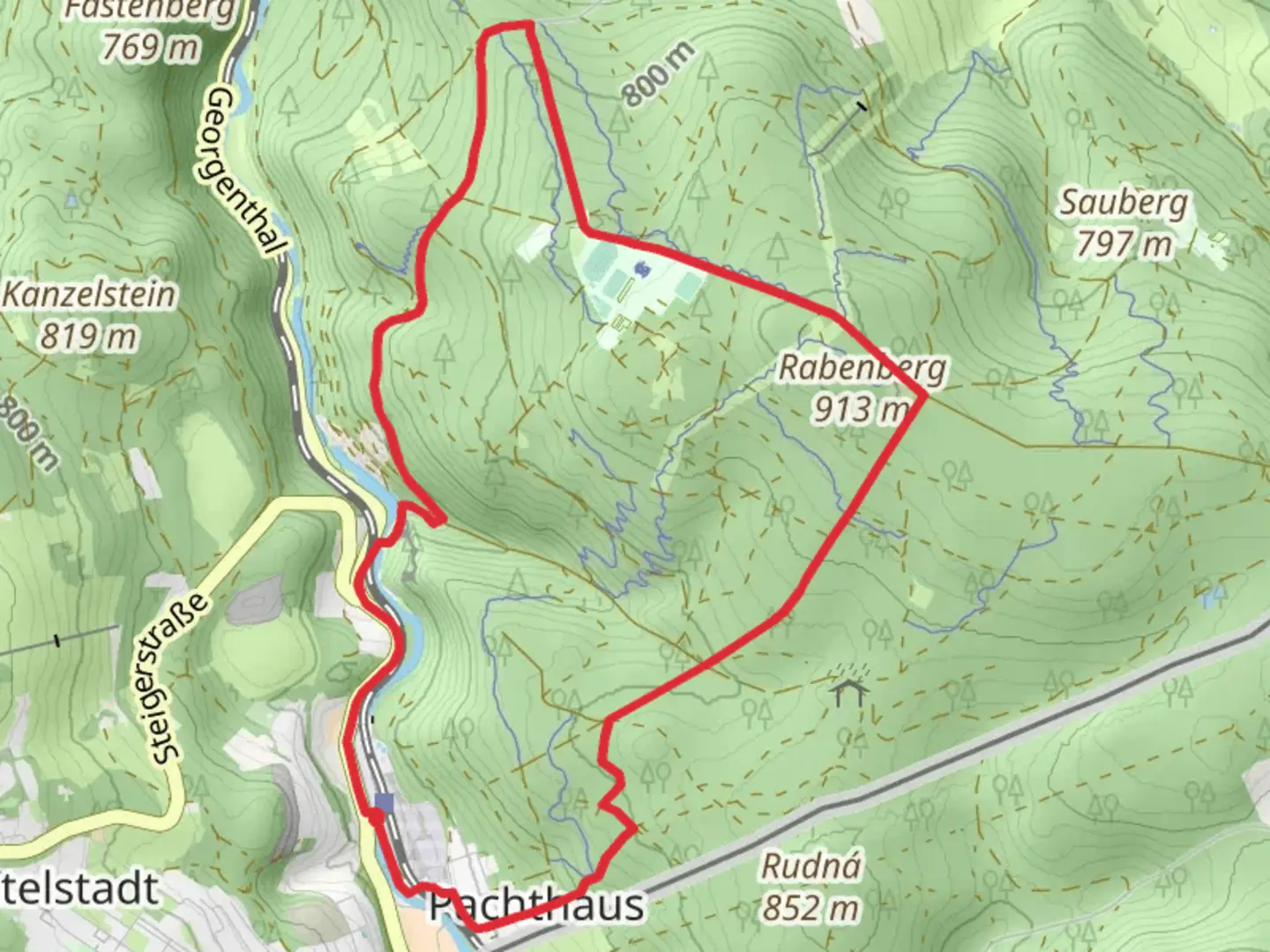
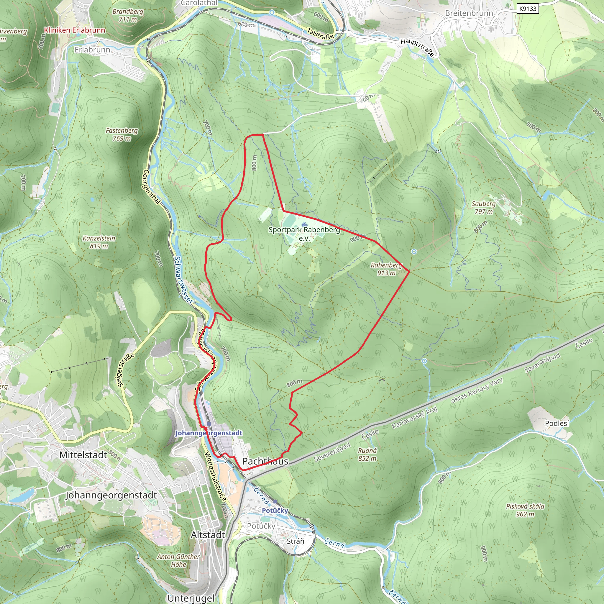
Starting near the picturesque Erzgebirgskreis in Germany, this 10 km (6.2 miles) loop trail offers a moderate challenge with an elevation gain of around 300 meters (984 feet). The trailhead is conveniently located near the Rabenberg Sports Park, making it accessible for both locals and visitors.
Getting There To reach the trailhead, you can either drive or use public transport. If you're driving, set your GPS to Rabenberg Sports Park, Breitenbrunn/Erzgeb., Germany. There is ample parking available at the sports park. For those using public transport, take a train to Schwarzenberg (Erzgeb) station. From there, you can catch a local bus to Breitenbrunn, where the sports park is just a short walk away.
Trail Navigation The Ringweg Rabenberg is well-marked, but it's always a good idea to have a reliable navigation tool. Download the HiiKER app for detailed maps and real-time navigation to ensure you stay on track.
Trail Highlights As you embark on this loop trail, you'll be greeted by dense forests and serene landscapes typical of the Erzgebirge region. The trail meanders through a mix of coniferous and deciduous trees, offering a rich tapestry of colors, especially in the autumn months.
#### Flora and Fauna Keep an eye out for local wildlife, including deer, foxes, and a variety of bird species. The forest floor is often carpeted with wildflowers in the spring and summer, adding a splash of color to your hike.
#### Historical Significance The Erzgebirge region is steeped in history, particularly from its mining past. As you hike, you'll come across remnants of old mining operations, including abandoned shafts and equipment. These serve as a poignant reminder of the region's industrial heritage.
Key Landmarks Around the 4 km (2.5 miles) mark, you'll reach a scenic viewpoint offering panoramic views of the surrounding valleys and hills. This is a great spot to take a break and soak in the natural beauty.
At approximately 7 km (4.3 miles), you'll encounter a small, tranquil lake. This is another excellent spot for a rest, perhaps even a picnic. The lake is surrounded by lush vegetation and provides a peaceful setting to recharge before completing the loop.
Elevation and Terrain The trail features a mix of gentle slopes and steeper inclines, making it a moderate challenge. The most significant elevation gain occurs in the first half of the trail, with a steady climb that rewards you with stunning views. The second half of the loop is more gradual, allowing for a leisurely descent back to the trailhead.
Preparation Tips Given the moderate difficulty, it's advisable to wear sturdy hiking boots and bring plenty of water. The trail can be muddy in sections, especially after rain, so be prepared for varying trail conditions. A lightweight rain jacket is also recommended, as weather in the Erzgebirge can be unpredictable.
Final Stretch As you near the end of the loop, the trail will guide you back towards the Rabenberg Sports Park. This final stretch is relatively flat and offers a gentle cooldown after the more challenging sections earlier in the hike.
Comments and Reviews
User comments, reviews and discussions about the Ringweg Rabenberg, Germany.
5.0
average rating out of 5
1 rating(s)
