Download
Preview
Add to list
More
8.9 km
~2 hrs 8 min
217 m
Loop
“Explore the Mittlerer Rundweg Dittmannsdorf: a 9 km trail brimming with natural beauty and historical charm.”
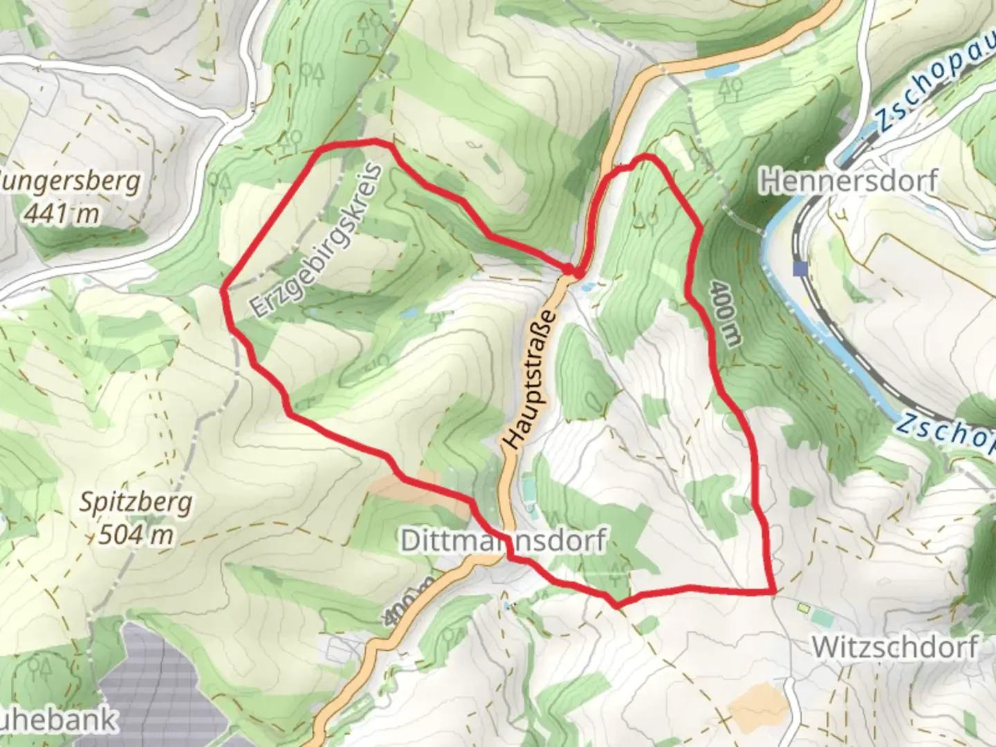
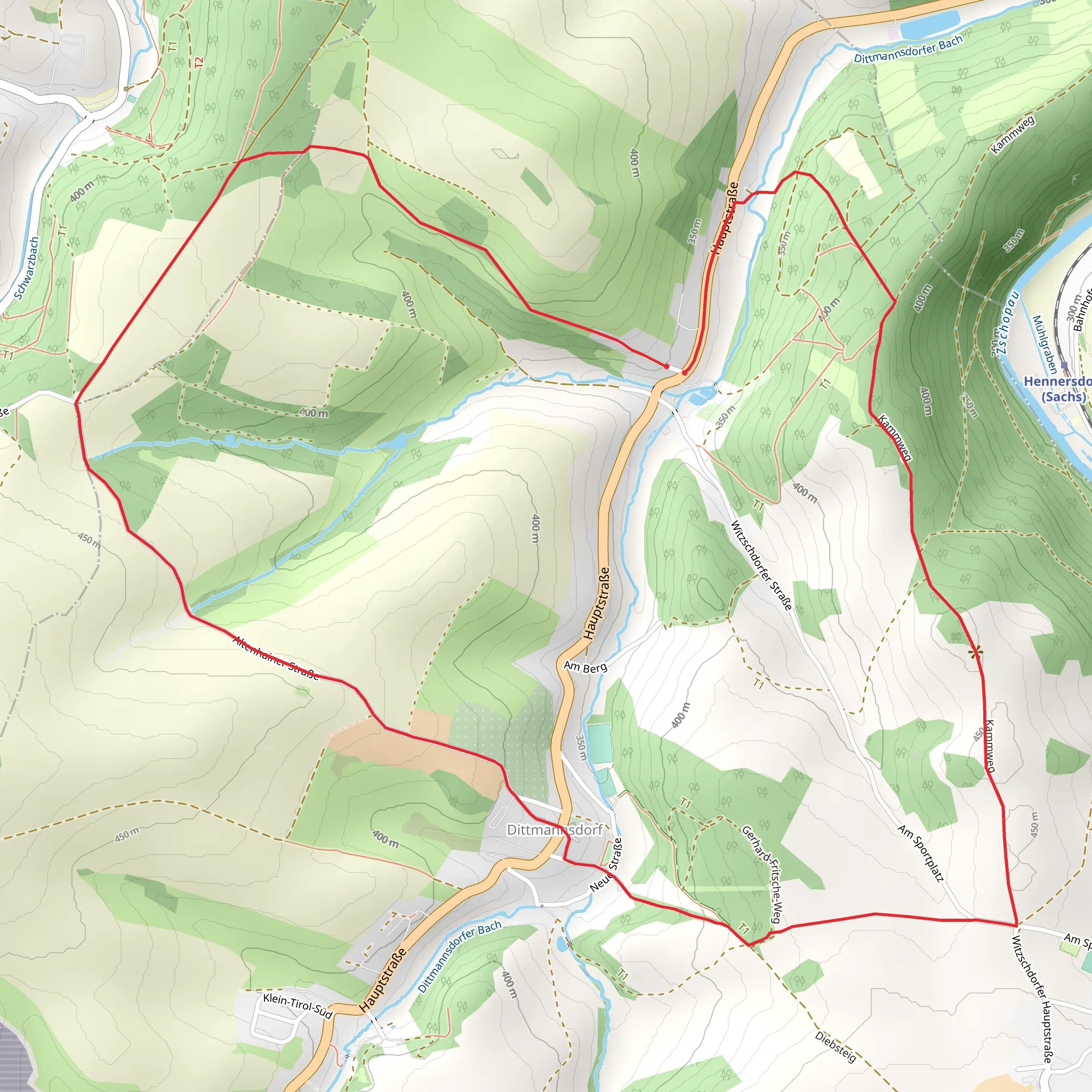
Starting near Erzgebirgskreis, Germany, the Mittlerer Rundweg Dittmannsdorf is a delightful 9 km (5.6 miles) loop trail with an elevation gain of approximately 200 meters (656 feet). This medium-difficulty trail offers a blend of natural beauty, historical landmarks, and a chance to experience the rich cultural heritage of the Erzgebirge region.
Getting There To reach the trailhead, you can either drive or use public transport. If driving, set your GPS to Dittmannsdorf, Erzgebirgskreis, Germany. For those using public transport, take a train to Chemnitz and then a local bus to Dittmannsdorf. The trailhead is conveniently located near the village center, making it easily accessible.
Trail Navigation For navigation, it's highly recommended to use the HiiKER app, which provides detailed maps and real-time updates to ensure you stay on track.
Trail Highlights As you embark on the trail, you'll first encounter a gentle ascent through lush forests, which are home to a variety of wildlife including deer, foxes, and numerous bird species. The initial 2 km (1.2 miles) of the trail will take you through dense woodland, offering a serene and peaceful atmosphere.
Historical Significance Around the 3 km (1.9 miles) mark, you'll come across remnants of old mining operations. The Erzgebirge region has a rich mining history dating back to the 12th century, primarily for silver and tin. These historical sites provide a fascinating glimpse into the area's industrial past.
Scenic Views As you continue, the trail opens up to rolling meadows around the 5 km (3.1 miles) point, offering panoramic views of the surrounding countryside. This section is relatively flat, allowing you to catch your breath and enjoy the scenery. On a clear day, you can see the distant peaks of the Ore Mountains.
Flora and Fauna The trail is abundant with diverse flora, including wildflowers, ferns, and ancient oak trees. Keep an eye out for the rare European wildcat, which has been spotted in this region. The meadows are also a great place to observe butterflies and other pollinators.
Final Stretch The last 2 km (1.2 miles) of the trail bring you back into the forest, with a gentle descent leading you back to the trailhead. This section is particularly beautiful in the autumn when the leaves change color, creating a vibrant tapestry of reds, oranges, and yellows.
Practical Information The trail is well-marked, but it's always a good idea to carry a map or use the HiiKER app for navigation. There are no facilities along the trail, so be sure to bring enough water and snacks. The best time to hike this trail is from late spring to early autumn, as the weather is generally mild and the paths are dry.
Whether you're a seasoned hiker or a casual walker, the Mittlerer Rundweg Dittmannsdorf offers a rewarding experience with its mix of natural beauty, historical intrigue, and cultural richness.
Comments and Reviews
User comments, reviews and discussions about the Mittlerer Rundweg Dittmannsdorf, Germany.
average rating out of 5
0 rating(s)
