Blauenthal to Auersberg via Ringweg zum Auersberg and Wildes Erzgebirge
Download
Preview
Add to list
More
10.7 km
~3 hrs 0 min
529 m
Point-to-Point
“This 11 km Erzgebirge trail combines stunning landscapes, historical sites, and a rewarding summit view.”
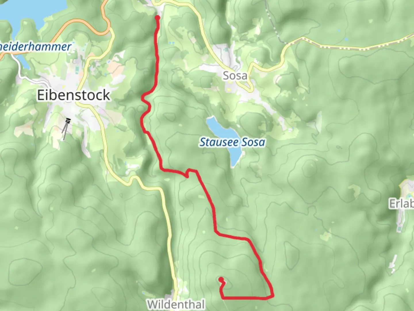
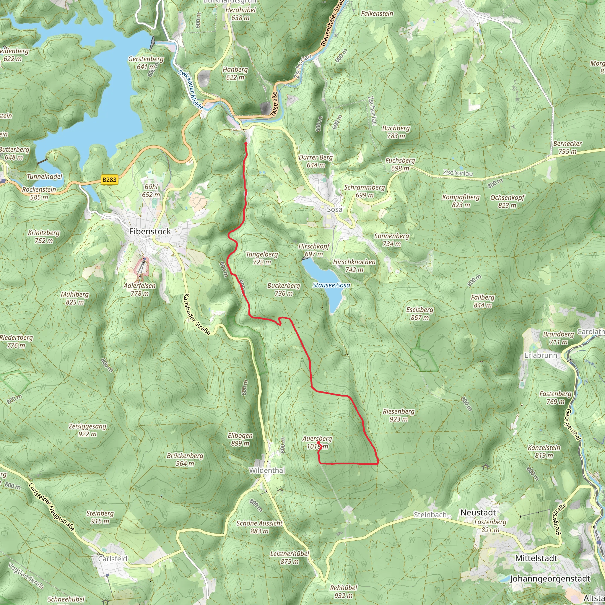
Starting near Erzgebirgskreis, Germany, this 11 km (approximately 6.8 miles) point-to-point trail offers a medium difficulty hike with an elevation gain of around 500 meters (1,640 feet). The trailhead is easily accessible by car or public transport. If driving, you can park near the Blauenthal Waterfall, a significant landmark in the area. For those using public transport, the nearest train station is in Schwarzenberg, from where you can take a bus or taxi to the trailhead.
Initial Ascent and Blauenthal Waterfall The hike begins with a gentle ascent through dense forests, typical of the Erzgebirge region. Early on, you'll encounter the Blauenthal Waterfall, one of the highest waterfalls in Saxony, cascading down from a height of 30 meters (98 feet). This is a great spot for a short break and some photos.
Ringweg zum Auersberg As you continue, the trail merges with the Ringweg zum Auersberg, a circular route that offers panoramic views of the surrounding landscape. The path here is well-marked and relatively easy to follow, but it's always a good idea to have a navigation tool like HiiKER for added security. The terrain varies from forested areas to open meadows, providing a diverse hiking experience.
Wildlife and Flora The Erzgebirge region is rich in wildlife and flora. Keep an eye out for deer, foxes, and a variety of bird species. The forest floor is often carpeted with wildflowers in the spring and summer, adding a splash of color to your hike.
Historical Significance The Erzgebirge, or Ore Mountains, have a rich mining history dating back to the 12th century. As you hike, you'll notice remnants of old mining operations, including abandoned shafts and equipment. These serve as a reminder of the region's industrial past and its significance in the development of mining technology.
Final Ascent to Auersberg The final stretch involves a steeper ascent to the summit of Auersberg, standing at 1,018 meters (3,340 feet). The climb can be challenging, but the effort is well worth it. At the summit, you'll find the Auersberg Tower, an observation tower offering 360-degree views of the Erzgebirge. On a clear day, you can see as far as the Fichtel Mountains and the Bohemian Forest.
Descending to Wildes Erzgebirge From the summit, the trail descends into the Wildes Erzgebirge, a rugged and less-traveled part of the region. The path here can be narrow and rocky, so watch your footing. This section is particularly beautiful in the autumn when the leaves change color, creating a stunning natural tapestry.
Ending the Hike The trail concludes near the village of Wildenthal, where you can catch a bus back to Schwarzenberg or arrange for a taxi. If you have time, consider exploring the local eateries and shops, which offer a taste of traditional Erzgebirge culture and cuisine.
This hike offers a blend of natural beauty, historical significance, and physical challenge, making it a rewarding experience for any outdoor enthusiast.
Comments and Reviews
User comments, reviews and discussions about the Blauenthal to Auersberg via Ringweg zum Auersberg and Wildes Erzgebirge, Germany.
average rating out of 5
0 rating(s)
