Download
Preview
Add to list
More
13.4 km
~4 hrs 36 min
1155 m
Point-to-Point
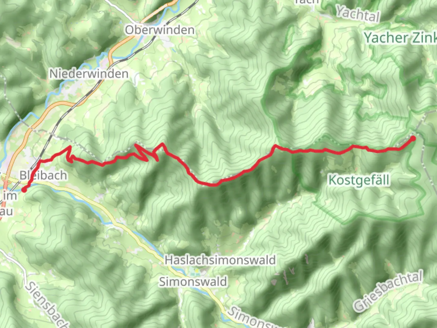
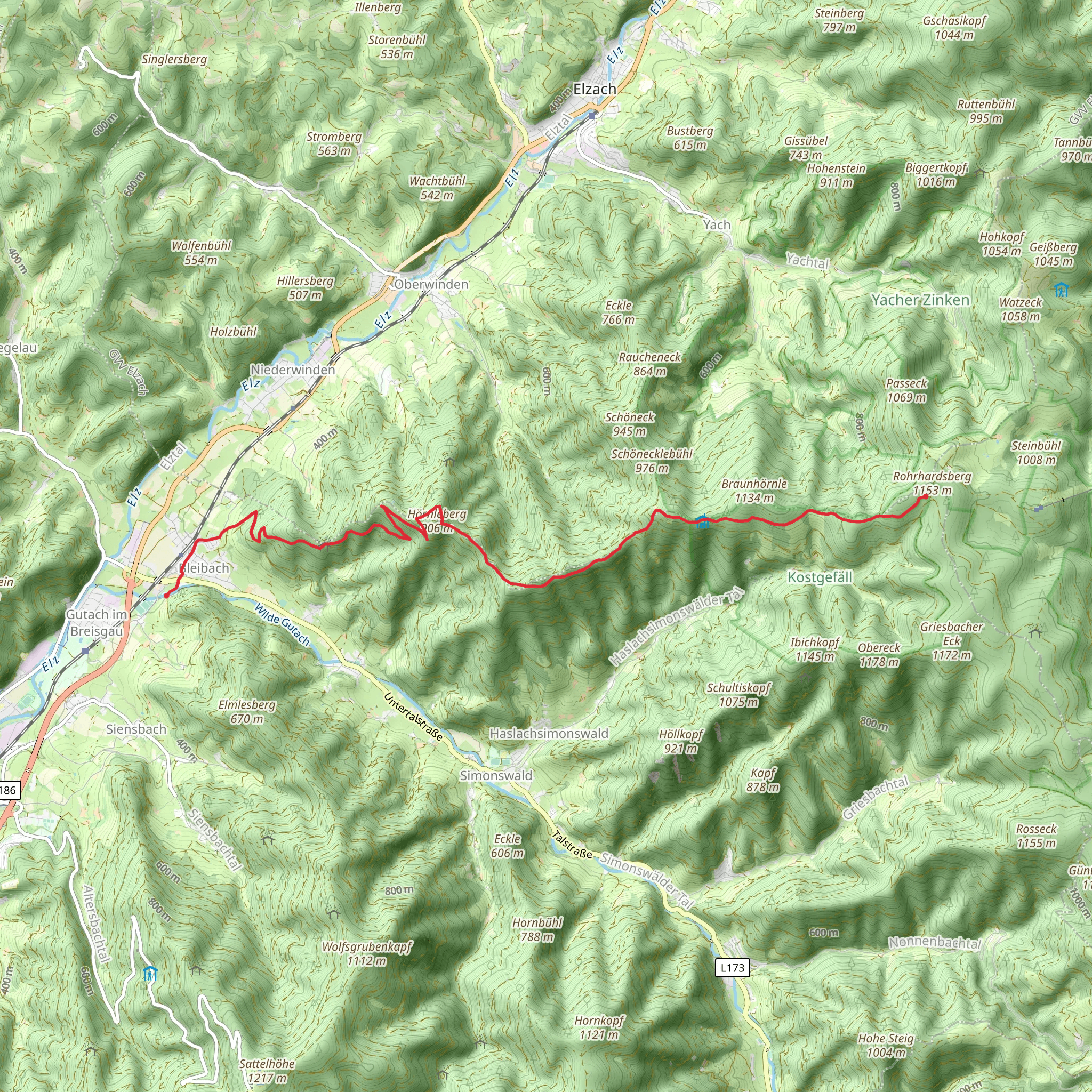
“Embark on the Bleibach - Yacher Hoehe trail for a scenic, moderately challenging Black Forest adventure.”
Starting near the charming town of Emmendingen, Germany, the Bleibach - Yacher Hoehe trail offers a captivating journey through the Black Forest region. This point-to-point trail spans approximately 13 kilometers (8 miles) with an elevation gain of around 1100 meters (3609 feet), making it a moderately challenging hike suitable for those with a reasonable level of fitness.
Getting There
To reach the trailhead, you can either drive or use public transport. If driving, head towards Emmendingen and look for parking options near the town center. For those using public transport, take a train to Emmendingen station, which is well-connected to major cities like Freiburg. From the station, local buses or a short taxi ride can bring you to the trailhead.
Trail Overview
The trail begins near Emmendingen and quickly immerses you in the lush, dense forests characteristic of the Black Forest region. The initial section is relatively gentle, allowing you to warm up as you traverse through mixed woodlands. As you progress, the trail starts to ascend more steeply, offering glimpses of the surrounding valleys and distant hills.
Significant Landmarks and Nature
Around the 4-kilometer (2.5-mile) mark, you will encounter the first significant landmark, the ruins of Hochburg Castle. This medieval fortress, perched on a hill, offers panoramic views of the surrounding countryside and is a great spot for a short break. The castle's history dates back to the 11th century, and it played a crucial role in regional conflicts over the centuries.
Continuing on, the trail meanders through a series of switchbacks, gaining elevation steadily. At approximately 7 kilometers (4.3 miles) in, you'll reach a scenic viewpoint known as the "Kandelblick." This spot provides breathtaking views of the Kandel mountain and the surrounding Black Forest peaks. It's an ideal place to pause and take in the natural beauty.
Flora and Fauna
The Black Forest is renowned for its rich biodiversity. Along the trail, you'll encounter a variety of flora, including towering spruce and fir trees, as well as vibrant wildflowers in the spring and summer months. Wildlife enthusiasts might spot deer, foxes, and a variety of bird species, including woodpeckers and owls.
Final Ascent and Yacher Hoehe
The final stretch of the trail involves a steep ascent to the Yacher Hoehe, the highest point of the hike. This section can be demanding, but the effort is well worth it. Upon reaching the summit, you'll be rewarded with sweeping views of the Black Forest and, on clear days, even the distant Alps. The elevation here is around 1100 meters (3609 feet), making it a perfect spot for a well-deserved rest and some memorable photographs.
Navigation and Safety
Given the trail's moderate difficulty and elevation gain, it's advisable to use a reliable navigation tool like HiiKER to stay on track. The trail is well-marked, but having a digital map can provide additional peace of mind. Ensure you carry sufficient water, snacks, and weather-appropriate clothing, as conditions can change rapidly in the mountains.
Historical Significance
The region around Emmendingen has a rich history, with settlements dating back to Roman times. The Hochburg Castle, in particular, is a testament to the area's strategic importance throughout the medieval period. Exploring this trail not only offers natural beauty but also a glimpse into the historical tapestry of the Black Forest region.
Embarking on the Bleibach - Yacher Hoehe trail promises a rewarding adventure through one of Germany's most picturesque landscapes. Whether you're drawn by the natural beauty, the historical landmarks, or the challenge of the hike itself, this trail offers something for every outdoor enthusiast.
Comments and Reviews
User comments, reviews and discussions about the Bleibach - Yacher Hoehe, Germany.
5.0
average rating out of 5
1 rating(s)
