Download
Preview
Add to list
More
4.4 km
~1 hrs 13 min
203 m
Loop
“Explore scenic views, historical sites, and diverse wildlife on this 4 km Ruhr Valley trail loop.”
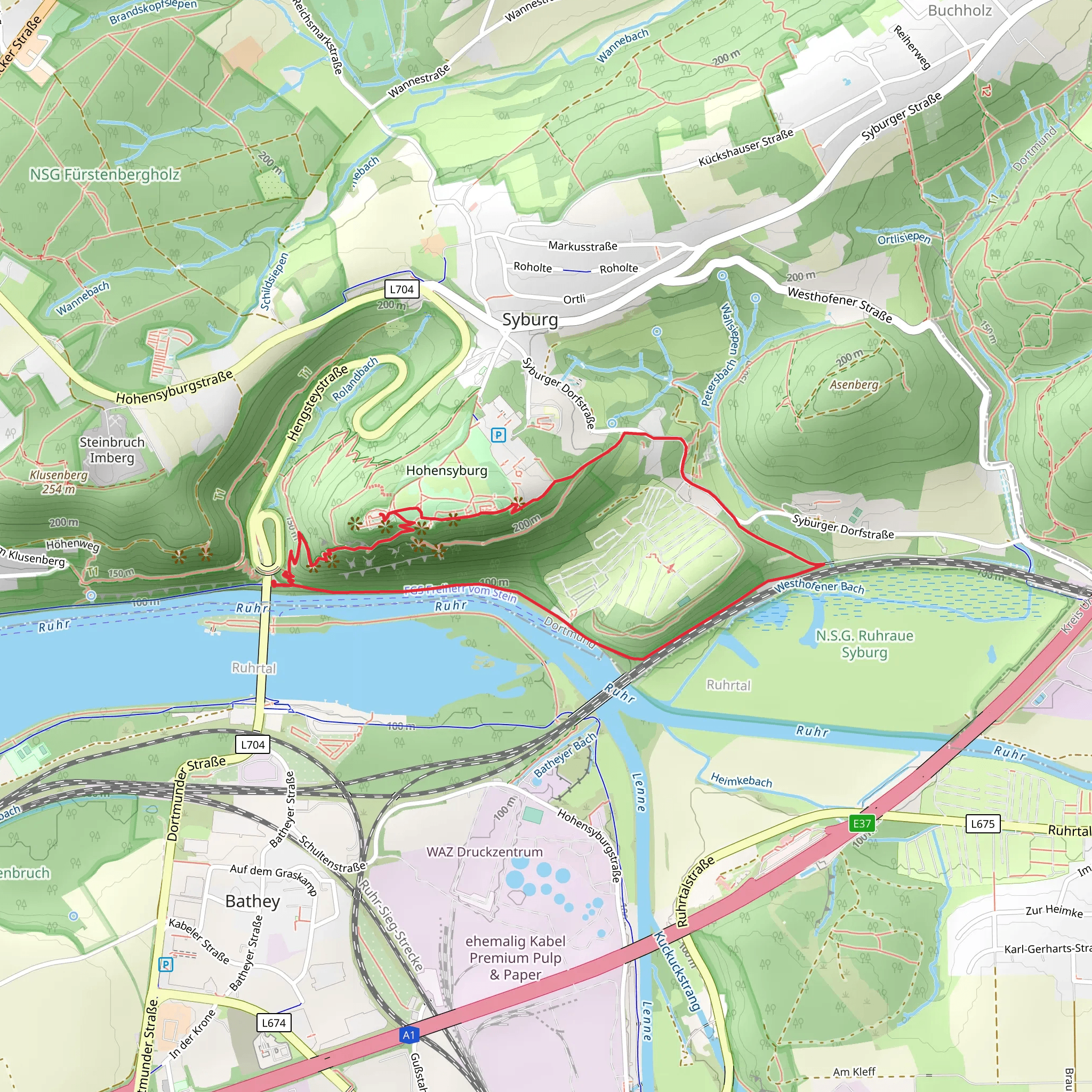
Starting near Dortmund, Germany, the Ruhrtalblick and Ruhr via Ruhrhoehenweg and Hoehlenweg trail offers a delightful 4 km (approximately 2.5 miles) loop with an elevation gain of around 200 meters (656 feet). This medium-difficulty trail is perfect for those looking to explore the scenic beauty and historical richness of the Ruhr Valley.
Getting There To reach the trailhead, you can either drive or use public transport. If driving, set your GPS to the nearest known address: Hohensyburgstraße, Dortmund. For public transport, take a train to Dortmund Hauptbahnhof (Dortmund Central Station) and then a bus to Hohensyburgstraße. The trailhead is conveniently located near this bus stop.
Trail Overview The trail begins with a gentle ascent through lush forests, offering a serene start to your hike. As you progress, the path becomes steeper, leading you to the first significant viewpoint, Ruhrtalblick. Here, you can enjoy panoramic views of the Ruhr Valley, a sight that is particularly stunning during sunrise or sunset.
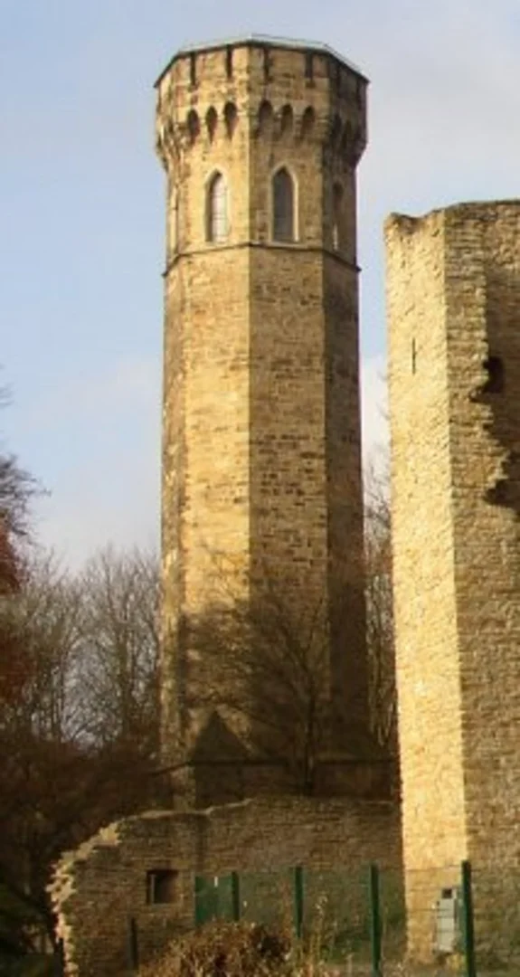
Historical Significance The Ruhr Valley has a rich industrial history, once being the heart of Germany's coal and steel production. As you hike, you'll come across remnants of this industrial past, including old mining equipment and informational plaques detailing the area's history. The trail also passes near the Hohensyburg Castle ruins, a medieval fortress that dates back to the 8th century. This site offers a glimpse into the region's historical significance and provides another excellent viewpoint.
Flora and Fauna The trail is abundant with diverse flora and fauna. In the spring and summer months, you'll find the forest floor carpeted with wildflowers, while the autumn season brings a spectacular display of fall foliage. Keep an eye out for local wildlife, including deer, foxes, and a variety of bird species. The area is also home to several bat species, particularly around the Hoehlenweg section, which translates to "Cave Path."
Navigation and Safety For navigation, it's highly recommended to use the HiiKER app, which provides detailed maps and real-time updates. The trail is well-marked, but having a reliable navigation tool ensures you stay on track. Wear sturdy hiking boots, as some sections can be rocky and uneven. Bring plenty of water, especially during the warmer months, and consider packing a light snack or picnic to enjoy at one of the scenic viewpoints.
Points of Interest - **Ruhrtalblick Viewpoint**: Approximately 1 km (0.6 miles) into the hike, offering stunning views of the Ruhr Valley. - **Hohensyburg Castle Ruins**: Located around the 2 km (1.2 miles) mark, this historical site provides both a cultural and visual highlight. - **Hoehlenweg Section**: Around 3 km (1.8 miles) into the hike, this part of the trail features small caves and is rich in local wildlife.
Final Stretch The last kilometer of the trail descends gently back towards the trailhead, passing through a mix of forest and open meadows. This section is particularly beautiful in the late afternoon light, making it a perfect end to your hike.
Whether you're a history buff, nature lover, or simply looking for a moderate hike with rewarding views, this trail near Dortmund offers a little something for everyone.
What to expect?
Activity types
Comments and Reviews
User comments, reviews and discussions about the Ruhrtalblick and Ruhr via Ruhrhoehenweg and Hoehlenweg, Germany.
4.25
average rating out of 5
4 rating(s)

