Download
Preview
Add to list
More
9.2 km
~2 hrs 35 min
452 m
Loop
“The Himmelsleiter Loop is a 9 km trail in Germany offering scenic views, wildlife, and historical landmarks.”
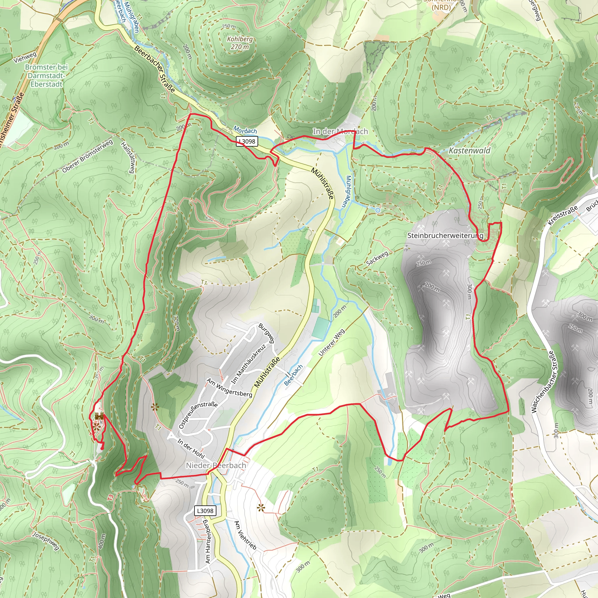
Starting near Darmstadt-Dieburg, Germany, the Himmelsleiter Loop is a captivating 9 km (5.6 miles) trail with an elevation gain of approximately 400 meters (1,312 feet). This loop trail is rated as medium difficulty, making it suitable for moderately experienced hikers.
Getting There To reach the trailhead, you can drive or use public transport. If driving, set your GPS to the nearest known address: L3094, 64367 Mühltal, Germany. For those using public transport, take a train to Darmstadt Hauptbahnhof and then a bus to the Mühltal area. From there, it's a short walk to the trailhead.
Trail Overview The Himmelsleiter Loop offers a diverse hiking experience, featuring dense forests, open meadows, and panoramic views. The trail is well-marked, but it's advisable to use HiiKER for navigation to ensure you stay on track.
Key Sections and Landmarks
#### Initial Ascent The hike begins with a steady ascent through a lush forest. This section is about 2 km (1.2 miles) long and gains around 150 meters (492 feet) in elevation. The forest is home to a variety of wildlife, including deer and numerous bird species. Keep an eye out for the occasional fox or wild boar.
#### Himmelsleiter Steps Around the 3 km (1.9 miles) mark, you'll encounter the Himmelsleiter, or "Stairway to Heaven." This is a series of stone steps that lead you up a steep incline. The steps are a bit challenging but offer a unique experience and a great workout. This section gains about 100 meters (328 feet) in elevation over a short distance.
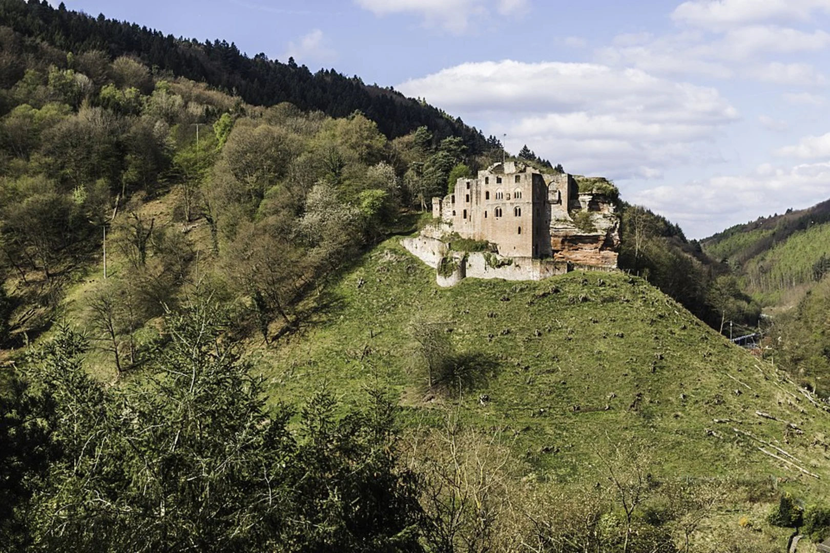
#### Summit and Panoramic Views After conquering the Himmelsleiter, you'll reach the highest point of the trail at approximately 4 km (2.5 miles). Here, you'll be rewarded with stunning panoramic views of the Odenwald region. On a clear day, you can see as far as the Frankfurt skyline. This is an excellent spot for a break and some photography.
#### Descent and Historical Sites The descent begins around the 5 km (3.1 miles) mark and takes you through more forested areas and open meadows. This section is less steep but still requires careful footing. Along the way, you'll pass by several historical landmarks, including remnants of old Roman watchtowers and medieval fortifications. These sites offer a glimpse into the region's rich history.
Flora and Fauna The trail is abundant with diverse flora, including oak, beech, and pine trees. In spring and summer, the meadows are filled with wildflowers, attracting butterflies and bees. The forested areas provide a habitat for various animals, so keep your eyes peeled for wildlife.
Final Stretch The last 2 km (1.2 miles) of the trail are relatively flat and take you back to the starting point. This section is a pleasant walk through a mix of forest and open fields, allowing you to cool down and reflect on the hike.
Preparation Tips - Wear sturdy hiking boots, as the trail can be rocky and uneven in places. - Bring plenty of water and some snacks, especially if you plan to take breaks at the viewpoints. - Check the weather forecast and dress in layers, as the weather can change rapidly. - Use HiiKER for navigation to ensure you stay on the correct path.
This trail offers a perfect blend of natural beauty, physical challenge, and historical intrigue, making it a must-do for any hiking enthusiast visiting the Darmstadt-Dieburg area.
What to expect?
Activity types
Comments and Reviews
User comments, reviews and discussions about the Himmelsleiter Loop, Germany.
4.6
average rating out of 5
5 rating(s)

