Download
Preview
Add to list
More
5.6 km
~1 hrs 17 min
100 m
Point-to-Point
“Immerse in Thuringian Forest's serene beauty on a moderate 6 km trail rich with natural and historical landmarks.”
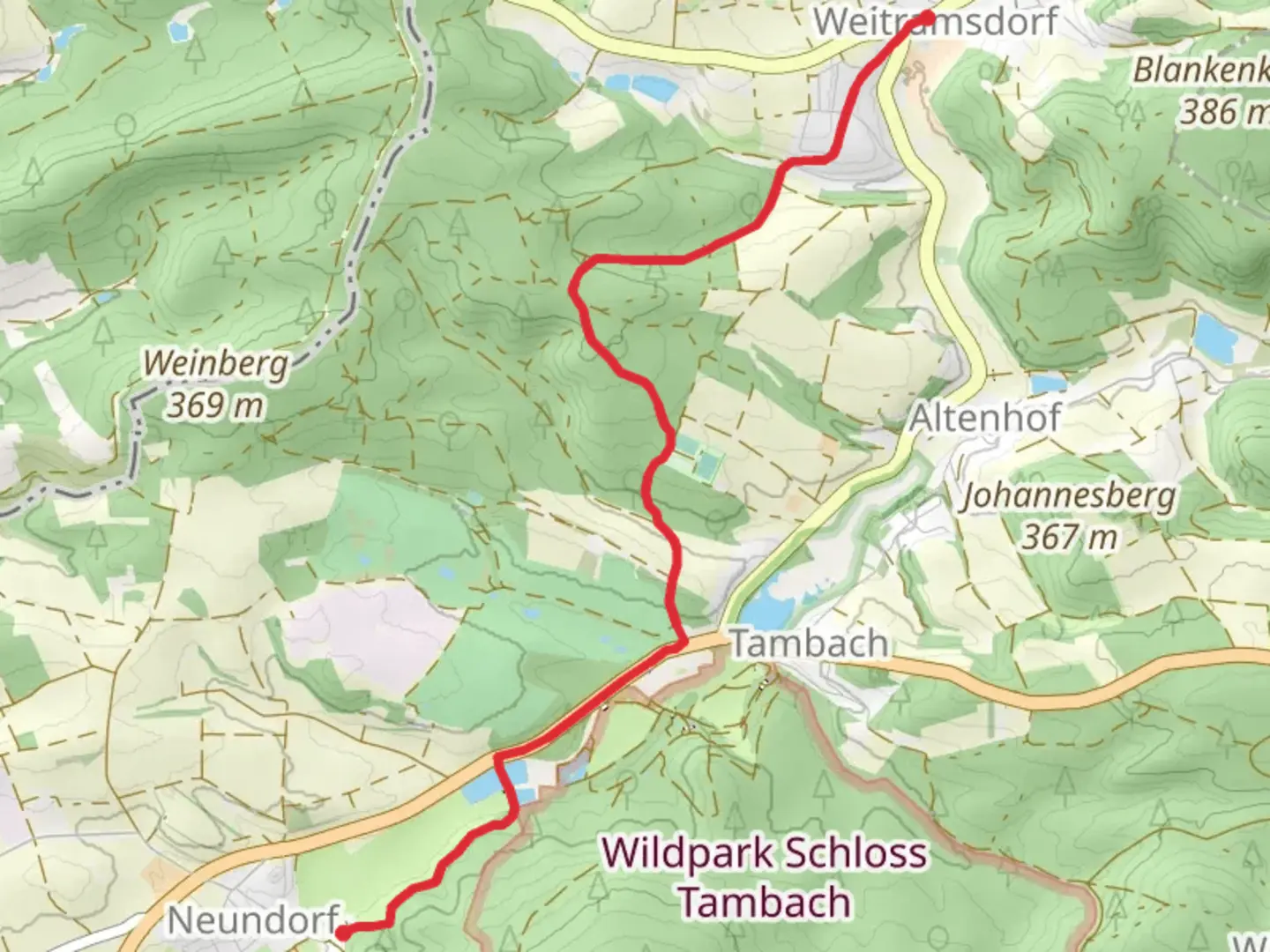
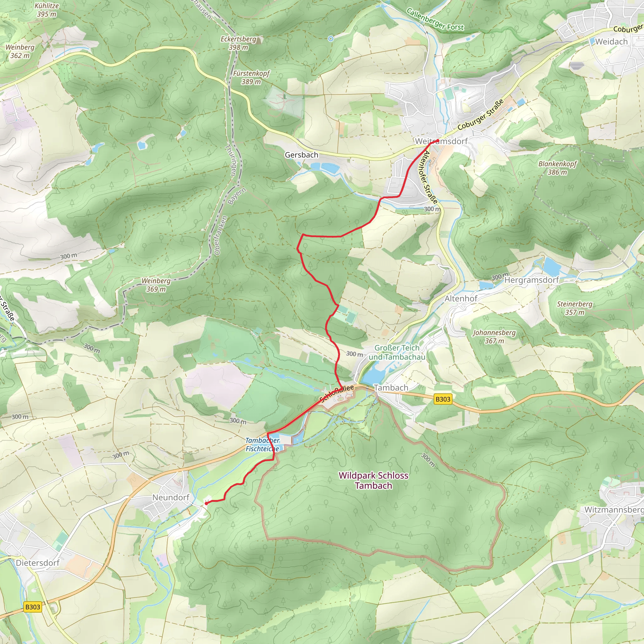
Starting near Coburg, Germany, the Tambacher Fischteiche via Saar Schlesien Weg is a delightful 6 km (approximately 3.7 miles) point-to-point trail that offers a moderate challenge with an elevation gain of around 100 meters (328 feet). This trail is perfect for those looking to immerse themselves in the serene beauty of the Thuringian Forest while enjoying a mix of natural and historical landmarks.
Getting There To reach the trailhead, you can either drive or use public transport. If driving, head towards Coburg and follow signs to Tambach-Dietharz. There is parking available near the starting point. For those using public transport, take a train to Coburg and then a local bus towards Tambach-Dietharz. The nearest significant landmark to the trailhead is the Tambach-Dietharz town center.
Trail Overview The trail begins near the Tambach-Dietharz town center, a quaint area that offers a glimpse into the local culture and history. As you start your hike, you'll quickly find yourself surrounded by lush forests and the soothing sounds of nature.
Key Landmarks and Points of Interest - **Tambacher Fischteiche**: About 1 km (0.6 miles) into the hike, you'll come across the Tambacher Fischteiche, a series of picturesque fish ponds. These ponds are not only a beautiful sight but also a habitat for various bird species. It's a great spot for a short break and some bird-watching. - **Saar Schlesien Weg**: Continuing along the trail, you'll follow the Saar Schlesien Weg, a historic path that has been used for centuries. This section of the trail is well-marked and offers a gentle ascent, making it accessible for most hikers.
- Forests and Flora: As you hike further, you'll be enveloped by dense forests of beech and spruce trees. The forest floor is often carpeted with ferns and wildflowers, especially in the spring and summer months. Keep an eye out for deer and other wildlife that are commonly seen in this area.
Elevation and Terrain The trail features a gradual elevation gain of around 100 meters (328 feet), making it a moderate hike suitable for those with a reasonable level of fitness. The terrain is a mix of well-maintained paths and natural forest trails, so sturdy hiking boots are recommended.
Historical Significance The region around Coburg and Tambach-Dietharz has a rich history dating back to medieval times. The Saar Schlesien Weg itself has been a significant route for trade and travel for centuries. As you hike, you'll be walking in the footsteps of countless travelers who have used this path over the years.
Navigation For navigation, it's highly recommended to use the HiiKER app, which provides detailed maps and real-time updates to ensure you stay on the right path. The trail is well-marked, but having a reliable navigation tool can enhance your hiking experience.
Wildlife and Nature The Thuringian Forest is home to a diverse range of wildlife. Along the trail, you might encounter red deer, wild boar, and various bird species. The forest is also known for its rich biodiversity, including rare plants and fungi.
Final Stretch As you approach the end of the trail, you'll descend gently towards the outskirts of Tambach-Dietharz. The final stretch offers beautiful views of the surrounding countryside, making it a perfect way to end your hike.
This trail offers a perfect blend of natural beauty, historical significance, and moderate physical challenge, making it a must-visit for any hiking enthusiast.
Comments and Reviews
User comments, reviews and discussions about the Tambacher Fischteiche via Saar Schlesien Weg, Germany.
4.0
average rating out of 5
1 rating(s)
