Download
Preview
Add to list
More
9.8 km
~2 hrs 18 min
213 m
Loop
“Embark on a scenic 10 km loop near Cham, Germany, rich in natural beauty and historical intrigue.”
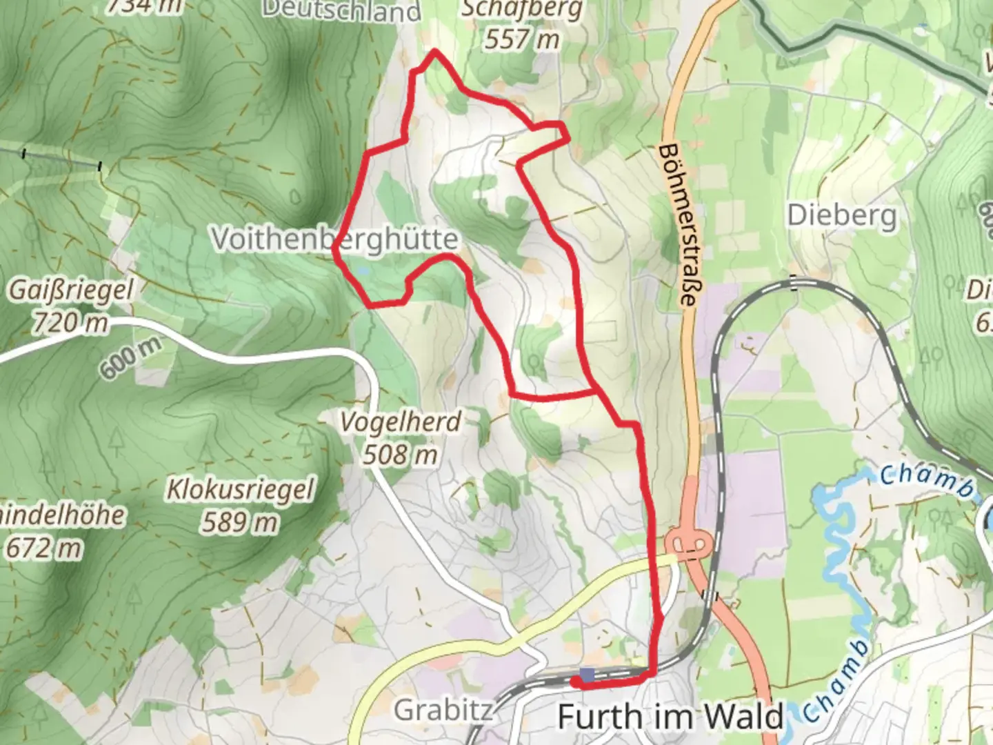
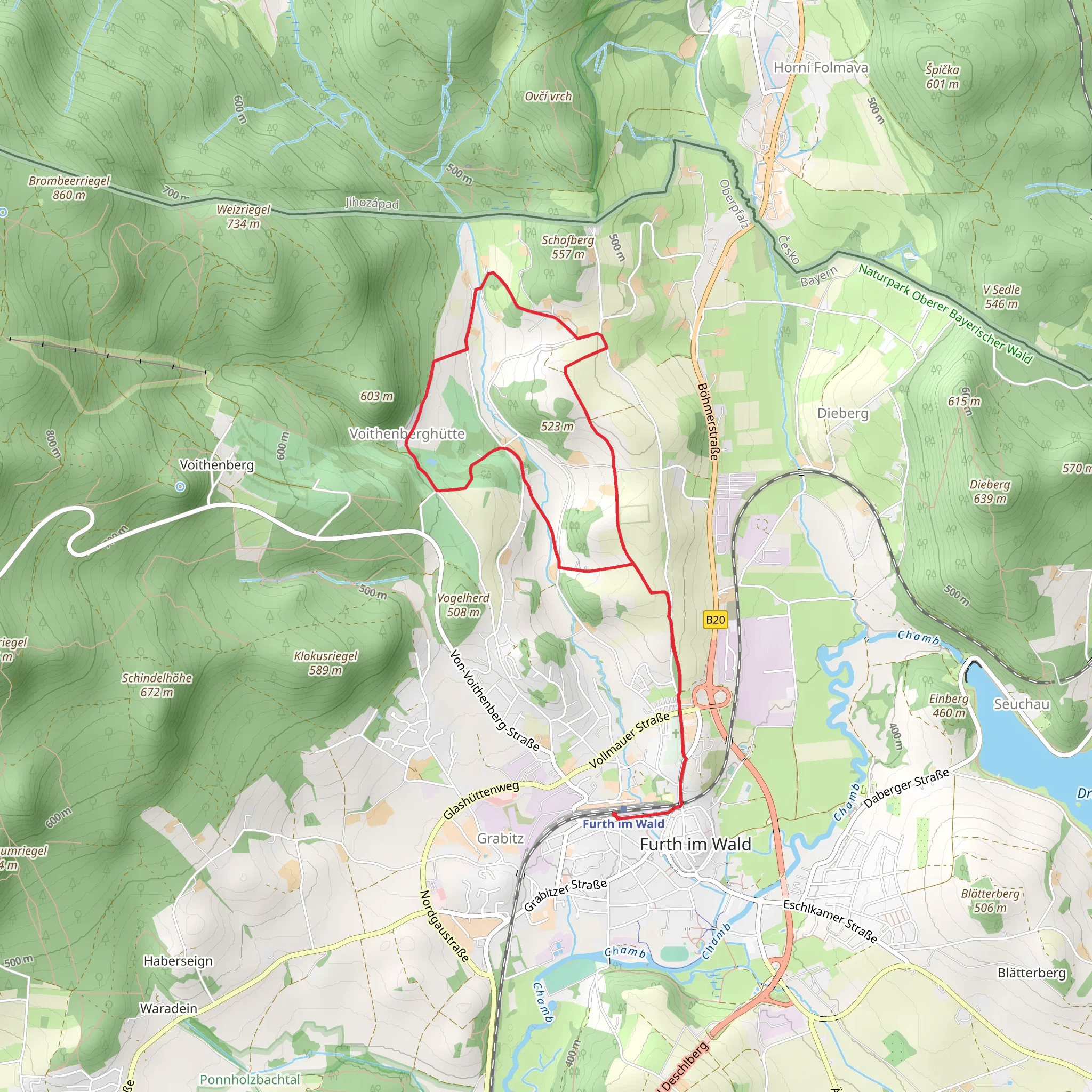
Starting near the charming town of Cham, Germany, the Zalta Stezka and Grenzweg trail offers a delightful 10 km (6.2 miles) loop with an elevation gain of approximately 200 meters (656 feet). This medium-difficulty hike is perfect for those looking to explore the natural beauty and historical significance of the region.
Getting There To reach the trailhead, you can either drive or use public transportation. If driving, set your GPS to Cham, Germany, and follow the signs to the trailhead near the town. For those using public transport, Cham is well-connected by train and bus services. From the Cham train station, local buses or a short taxi ride will take you to the starting point.
Trail Overview The trail begins near Cham and quickly immerses you in a lush, forested landscape. The initial section is relatively flat, making it an excellent warm-up for the more challenging parts ahead. As you progress, the trail starts to ascend gently, offering panoramic views of the surrounding countryside.
Significant Landmarks Around the 3 km (1.9 miles) mark, you'll come across the first significant landmark: the ruins of an old castle. This site offers a glimpse into the region's medieval history and provides a perfect spot for a short break and some photos. Continuing on, you'll encounter a series of well-marked paths that guide you through dense forests and open meadows.
Nature and Wildlife The trail is rich in biodiversity. Keep an eye out for various bird species, deer, and even the occasional fox. The flora is equally impressive, with a mix of deciduous and coniferous trees, wildflowers, and ferns. During the spring and summer months, the meadows are particularly vibrant, making it a great time for nature photography.
Historical Significance The Zalta Stezka and Grenzweg trail is steeped in history. The area was once a significant trade route between Germany and the Czech Republic. Historical markers along the trail provide insights into the region's past, including its role in medieval commerce and its strategic importance during various conflicts.
Navigation While the trail is well-marked, it's always a good idea to have a reliable navigation tool. The HiiKER app is highly recommended for this trail, offering detailed maps and real-time updates to ensure you stay on course.
Elevation and Terrain The trail's elevation gain of 200 meters (656 feet) is spread out over the 10 km (6.2 miles), making it manageable for most hikers. The terrain varies from well-trodden paths to rocky sections, so sturdy hiking boots are advisable. The highest point of the trail offers stunning views of the Bavarian Forest and the distant Bohemian Forest in the Czech Republic.
Final Stretch As you near the end of the loop, the trail descends gradually back towards Cham. This section is less strenuous, allowing you to enjoy the final moments of your hike at a leisurely pace. The trail concludes back at the starting point, where you can take a moment to reflect on the diverse landscapes and rich history you've just experienced.
Whether you're a seasoned hiker or a casual walker, the Zalta Stezka and Grenzweg trail offers a rewarding adventure through one of Germany's most picturesque regions.
Comments and Reviews
User comments, reviews and discussions about the Zalta Stezka and Grenzweg, Germany.
5.0
average rating out of 5
1 rating(s)
