Download
Preview
Add to list
More
5.7 km
~1 hrs 33 min
250 m
Point-to-Point
“Embark on the Tiefenbach to Wald Walk for a 6 km journey of natural beauty, history, and adventure.”
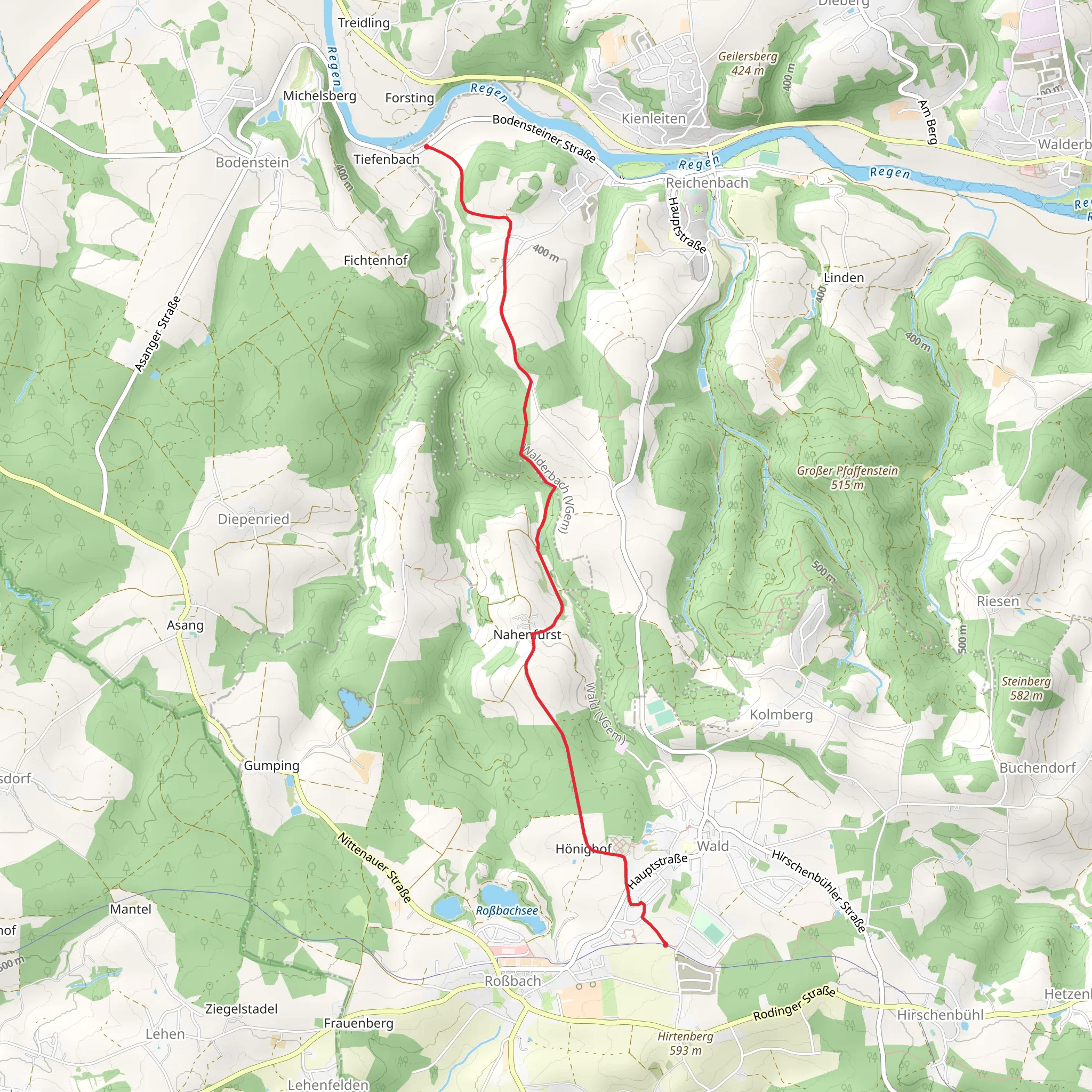
Starting near the charming town of Cham in Germany, the Tiefenbach to Wald Walk is a delightful point-to-point trail stretching approximately 6 km (3.7 miles) with an elevation gain of around 200 meters (656 feet). This medium-difficulty hike offers a blend of natural beauty, historical significance, and a touch of adventure.
Getting There
To reach the trailhead, you can either drive or use public transport. If driving, head towards Cham and look for parking near the Tiefenbach area. For those using public transport, Cham is well-connected by train and bus services. From the Cham train station, you can take a local bus or taxi to the starting point near Tiefenbach.
Trail Overview
The trail begins near Tiefenbach, a quaint village that offers a serene starting point. As you set off, you'll immediately be greeted by lush forests and the gentle sounds of nature. The initial part of the trail is relatively flat, making it a good warm-up for the more challenging sections ahead.
Key Landmarks and Nature
Around the 2 km (1.2 miles) mark, you'll encounter a picturesque stream that meanders through the forest. This is a great spot to take a short break and enjoy the tranquil surroundings. Keep an eye out for local wildlife such as deer, foxes, and a variety of bird species that inhabit the area.
As you continue, the trail begins to ascend, gaining elevation gradually. By the time you reach the 4 km (2.5 miles) point, you'll have climbed approximately 100 meters (328 feet). Here, the forest opens up to reveal stunning views of the Bavarian countryside. On a clear day, you can see for miles, making it a perfect photo opportunity.
Historical Significance
The region around Cham has a rich history dating back to medieval times. As you hike, you'll come across several historical markers and ruins that tell the story of the area's past. One notable landmark is the remnants of an old watchtower, located around the 5 km (3.1 miles) mark. This tower once served as a lookout point to protect the local villages from invaders.
Final Stretch
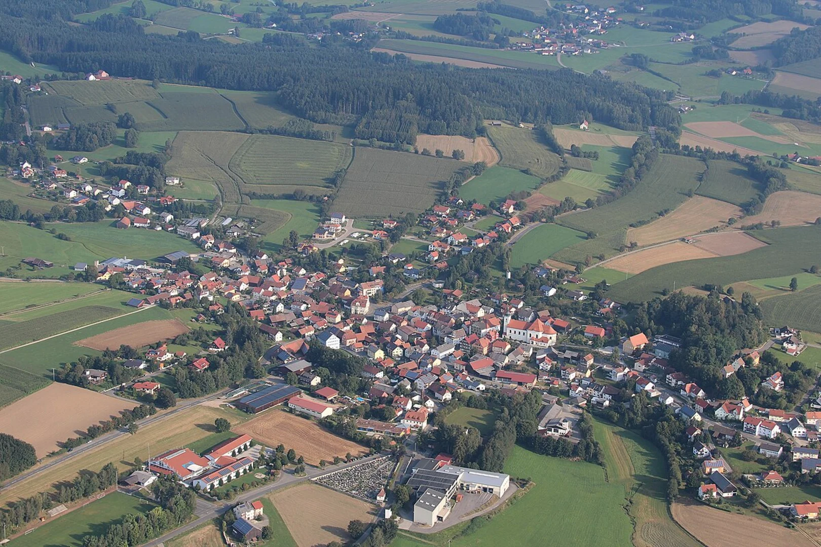
The last kilometer of the trail descends gently towards the village of Wald. This section is particularly scenic, with rolling hills and open meadows. As you approach Wald, you'll notice the well-preserved traditional Bavarian architecture, adding a cultural touch to your hike.
Navigation and Safety
For navigation, it's highly recommended to use the HiiKER app, which provides detailed maps and real-time updates. The trail is well-marked, but having a reliable navigation tool ensures you stay on track.
Wildlife and Flora
Throughout the hike, you'll be surrounded by a diverse range of flora, including oak, beech, and pine trees. In spring and summer, the forest floor is carpeted with wildflowers, adding vibrant colors to your journey. Be mindful of the local wildlife and maintain a respectful distance to avoid disturbing their natural habitat.
Ending the Hike
Upon reaching Wald, you'll find several amenities including cafes and small shops where you can relax and refresh. Public transport options are available from Wald to return to Cham or other nearby towns.
This hike offers a perfect blend of natural beauty, historical intrigue, and moderate physical challenge, making it a rewarding experience for hikers of all levels.
What to expect?
Activity types
Comments and Reviews
User comments, reviews and discussions about the Tiefenbach to Wald Walk, Germany.
4.33
average rating out of 5
3 rating(s)

