Download
Preview
Add to list
More
4.6 km
~1 hrs 4 min
101 m
Loop
“Explore the scenic Rundwanderweg Gibacht for panoramic views, historical landmarks, and Bavarian Forest beauty.”
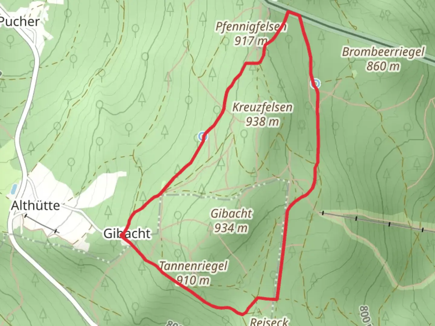
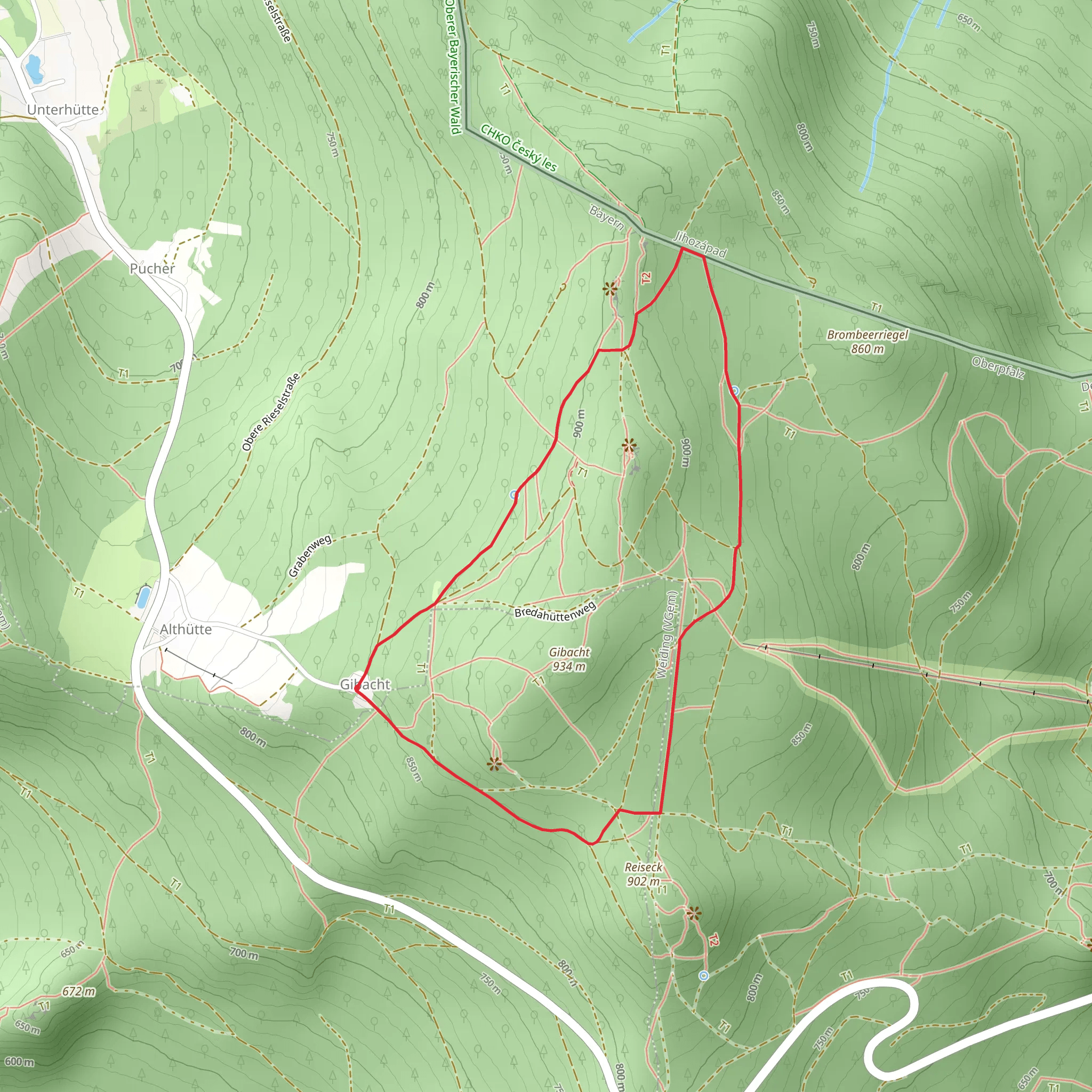
Starting near the charming town of Cham in Germany, the Rundwanderweg Gibacht is a delightful loop trail that spans approximately 5 kilometers (3.1 miles) with an elevation gain of around 100 meters (328 feet). This trail is rated as medium difficulty, making it suitable for hikers with some experience.
Getting There To reach the trailhead, you can either drive or use public transport. If you're driving, head towards Cham and look for parking near the Gibacht area. For those using public transport, take a train or bus to Cham and then a local bus or taxi to the trailhead near Gibacht.
Trail Overview The Rundwanderweg Gibacht offers a mix of natural beauty and historical significance. As you embark on this loop, you'll traverse through dense forests, open meadows, and rocky outcrops. The trail is well-marked, but it's always a good idea to have a reliable navigation tool like HiiKER to ensure you stay on track.
Key Landmarks and Points of Interest - **Gibacht Mountain**: One of the first significant landmarks you'll encounter is Gibacht Mountain. Standing at an elevation of 934 meters (3,064 feet), it offers panoramic views of the surrounding Bavarian Forest and the Bohemian Forest in the Czech Republic. The climb to the summit is gradual, making it accessible for most hikers. - **Gläserner Steig**: Approximately 2 kilometers (1.2 miles) into the hike, you'll come across the Gläserner Steig, a glass art installation that reflects the region's rich history in glassmaking. This spot is perfect for a short break and some photos. - **Drei Wappen**: Around the 3.5-kilometer (2.2-mile) mark, you'll reach Drei Wappen, a historical monument marking the border between Bavaria, Bohemia, and the Upper Palatinate. This site has significant historical importance, symbolizing the unity and division of these regions over centuries.
Flora and Fauna The trail is a haven for nature enthusiasts. The dense forests are home to a variety of wildlife, including deer, foxes, and numerous bird species. In the spring and summer, the meadows are adorned with wildflowers, making it a picturesque setting for a hike.
Trail Conditions and Safety The trail is generally well-maintained, but it's essential to wear sturdy hiking boots as some sections can be rocky and uneven. Weather conditions can change rapidly, so it's advisable to carry a rain jacket and some extra layers. Always have enough water and snacks, especially if you plan to take your time exploring the various landmarks.
Historical Significance The region around Cham has a rich history dating back to medieval times. The Drei Wappen monument is a testament to the area's historical importance as a border region. Additionally, the glass art installations along the trail highlight the region's long-standing tradition in glassmaking, which dates back to the 14th century.
Final Stretch As you complete the loop, the trail will gradually descend back towards the starting point near Gibacht. The final stretch offers a serene walk through the forest, allowing you to reflect on the natural beauty and historical richness of the area.
Whether you're a seasoned hiker or someone looking to explore the Bavarian Forest, the Rundwanderweg Gibacht offers a rewarding experience filled with scenic views, historical landmarks, and a touch of adventure.
What to expect?
Activity types
Comments and Reviews
User comments, reviews and discussions about the Rundwanderweg Gibacht, Germany.
4.8
average rating out of 5
5 rating(s)
