Download
Preview
Add to list
More
6.2 km
~1 hrs 46 min
314 m
Loop
“Explore the Kathlfelsen Loop's scenic 6 km trail for moderate hikers, rich in nature and history.”
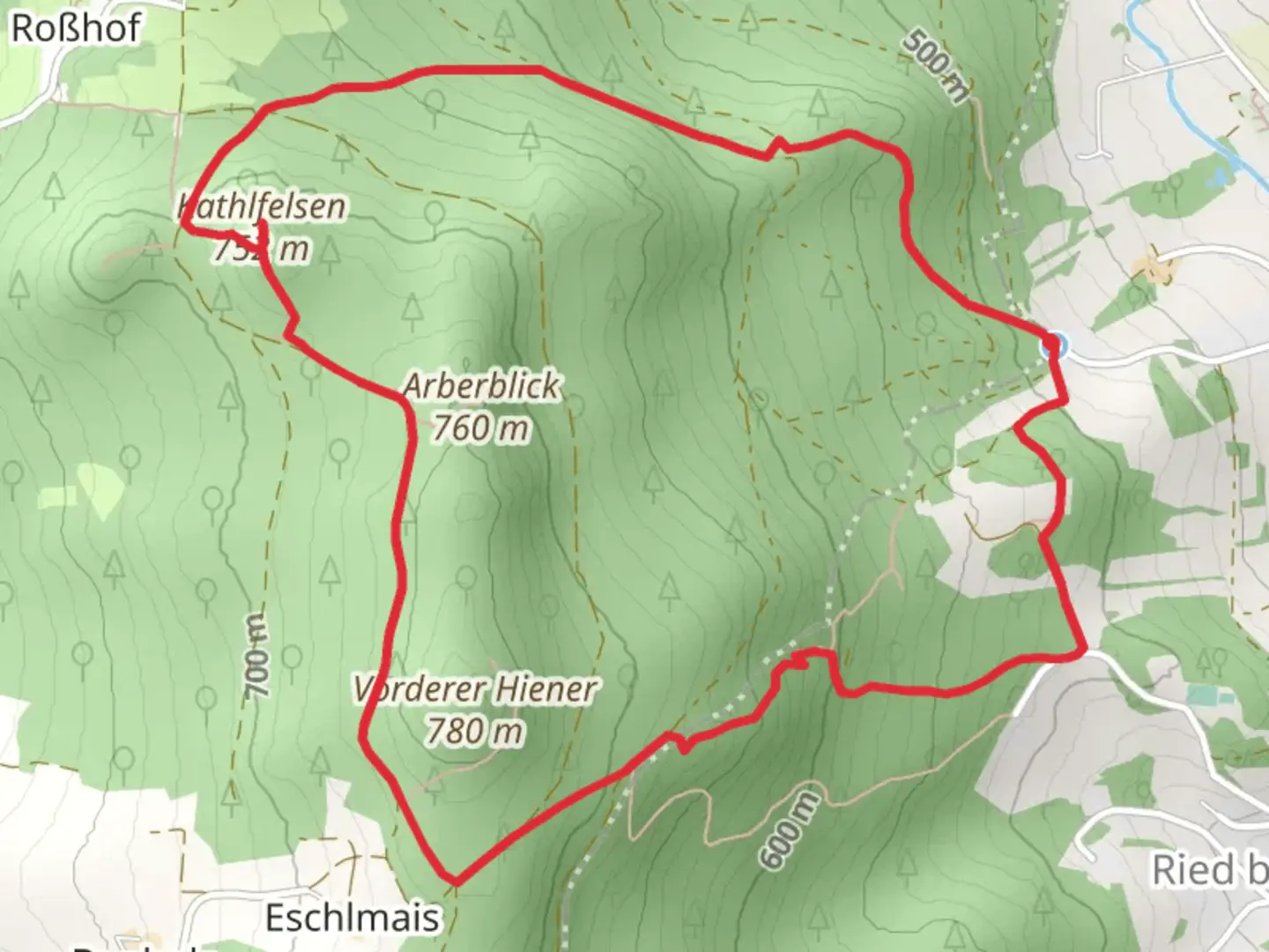
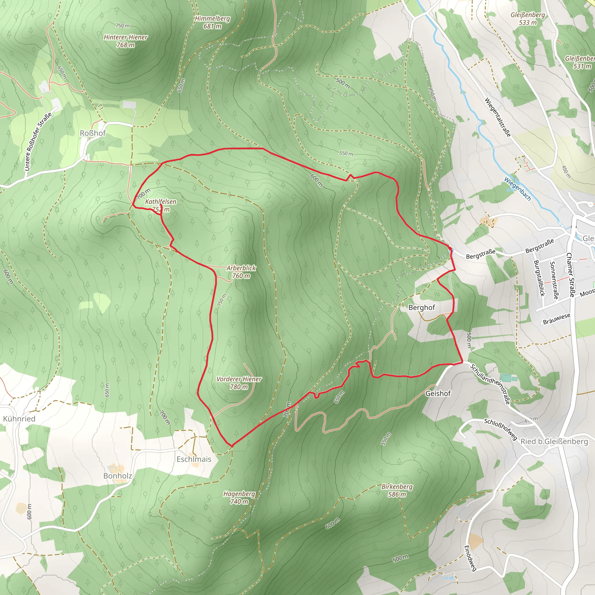
Starting near the charming town of Cham in Germany, the Kathlfelsen Loop from Gleißenberg is a delightful 6 km (approximately 3.7 miles) loop trail with an elevation gain of around 300 meters (about 984 feet). This trail is rated as medium difficulty, making it suitable for moderately experienced hikers.
Getting There To reach the trailhead, you can drive or use public transport. If driving, head towards Gleißenberg, which is easily accessible from Cham. For those using public transport, take a train to Cham and then a local bus to Gleißenberg. The nearest significant landmark to the trailhead is the Gleißenberg town center.
Trail Overview The trail begins near the town center of Gleißenberg and quickly immerses you in the serene Bavarian forest. The path is well-marked, but it's always a good idea to have a navigation tool like HiiKER to ensure you stay on track.
Key Landmarks and Points of Interest - **Kathlfelsen Rock Formation**: About 2 km (1.2 miles) into the hike, you'll encounter the Kathlfelsen rock formation. This impressive natural feature offers a great spot for a short break and some photos. The rock formation is a significant geological feature in the region, known for its unique shape and the panoramic views it offers. - **Forest Canopy**: As you continue, the trail meanders through dense forest, providing ample shade and a cool environment even on warmer days. The forest is home to a variety of wildlife, including deer, foxes, and numerous bird species. Keep your eyes peeled for these creatures, especially in the early morning or late afternoon. - **Historical Significance**: The area around Cham and Gleißenberg has a rich history dating back to medieval times. While the trail itself is primarily a natural experience, the region's historical context adds an extra layer of interest. Cham, for instance, was an important trading post in the Middle Ages, and remnants of this history can still be seen in the architecture and layout of the town.
Elevation and Terrain The trail features a steady climb, with the most significant elevation gain occurring in the first half of the loop. The ascent is gradual but consistent, making it a good workout without being overly strenuous. The highest point of the trail offers stunning views of the surrounding Bavarian countryside, making the climb well worth the effort.
Flora and Fauna The trail is rich in biodiversity. You'll pass through sections of mixed deciduous and coniferous forest, with a variety of plant species including oak, beech, and pine trees. In the spring and summer, the forest floor is carpeted with wildflowers, adding a splash of color to your hike.
Practical Tips - **Footwear**: Given the mixed terrain, sturdy hiking boots are recommended. - **Weather**: Check the weather forecast before you go, as conditions can change rapidly in the forested areas. - **Supplies**: Bring enough water and snacks, as there are no facilities along the trail. - **Navigation**: Use HiiKER to keep track of your progress and ensure you stay on the correct path.
This trail offers a perfect blend of natural beauty, moderate physical challenge, and a touch of historical intrigue, making it a rewarding experience for any hiker.
What to expect?
Activity types
Comments and Reviews
User comments, reviews and discussions about the Kathlfelsen Loop from Gleißenberg, Germany.
average rating out of 5
0 rating(s)
