Download
Preview
Add to list
More
5.2 km
~1 hrs 16 min
134 m
Loop
“Explore Calw's 5 km trail for scenic beauty, historical wonders, and a moderately challenging hike.”
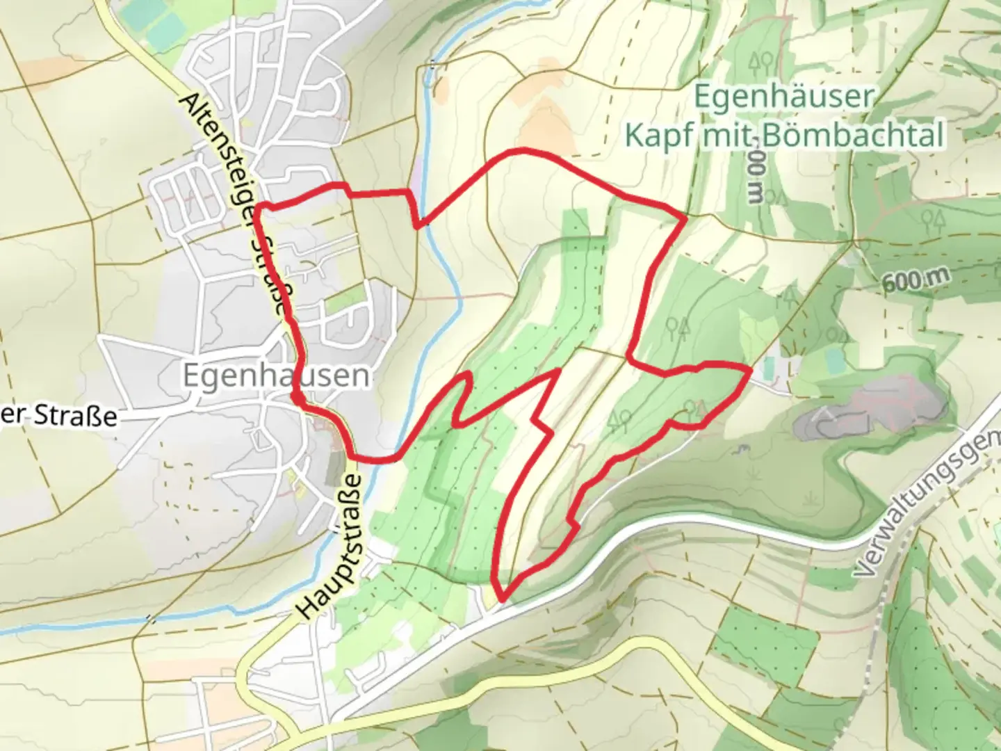
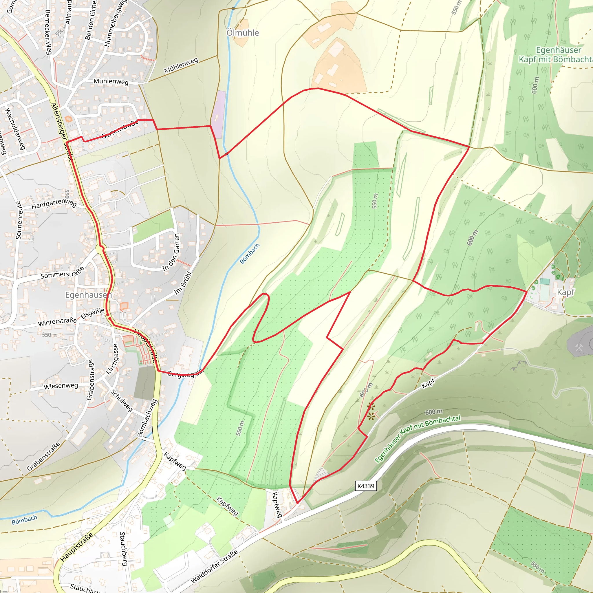
Starting near the picturesque town of Calw in Germany, this 5 km (3.1 miles) loop trail offers a delightful mix of natural beauty and historical intrigue. With an elevation gain of around 100 meters (328 feet), it is rated as medium difficulty, making it accessible for most hikers with a moderate level of fitness.
Getting There To reach the trailhead, you can either drive or use public transport. If driving, set your GPS to Calw, and look for parking near the town center. For those using public transport, take a train to Calw Station. From there, local buses or a short taxi ride will get you to the trailhead.
Trail Navigation For navigation, it's highly recommended to use the HiiKER app, which provides detailed maps and real-time updates. This will ensure you stay on track and can fully enjoy the hike without worrying about getting lost.
The Hike The trail begins near Calw and quickly immerses you in the serene beauty of the Black Forest region. As you start, you'll notice the lush greenery and the gentle sounds of nature, setting a peaceful tone for your hike.
#### Significant Landmarks Around the 1 km (0.6 miles) mark, you'll come across the first significant landmark: the ruins of an old castle. This site offers a glimpse into the region's medieval history and provides a great spot for a short break and some photos.
Continuing on, at approximately 2.5 km (1.5 miles), you'll reach the Heiligenaecker area. This section is known for its ancient burial mounds, dating back to the Iron Age. These mounds are a fascinating reminder of the area's long history and are well worth a few moments of exploration.
Nature and Wildlife The trail is rich in biodiversity. Keep an eye out for various bird species, including woodpeckers and finches. The forested areas are home to deer and, if you're lucky, you might even spot a fox. The flora is equally impressive, with a mix of deciduous and coniferous trees, wildflowers, and ferns.
Elevation and Terrain The trail features a moderate elevation gain of around 100 meters (328 feet), spread out over the 5 km (3.1 miles). The terrain is varied, with some sections being relatively flat and others requiring a bit more effort due to inclines. The path is well-maintained but can be muddy after rain, so appropriate footwear is recommended.
Final Stretch As you near the end of the loop, around the 4 km (2.5 miles) mark, you'll pass through a scenic meadow. This open space offers panoramic views of the surrounding hills and is a perfect spot for a final rest before completing the hike.
Historical Significance The region around Calw has a rich history, dating back to Roman times. The town itself is known for its well-preserved half-timbered houses and cobblestone streets. The trail's historical landmarks, such as the castle ruins and burial mounds, provide a tangible connection to the past, making this hike not just a natural but also a cultural experience.
This 5 km loop trail near Calw offers a balanced mix of natural beauty, historical landmarks, and moderate physical challenge, making it a rewarding experience for any hiker.
What to expect?
Activity types
Comments and Reviews
User comments, reviews and discussions about the Egenhausen Nagold and Heiligenaecker, Germany.
average rating out of 5
0 rating(s)
