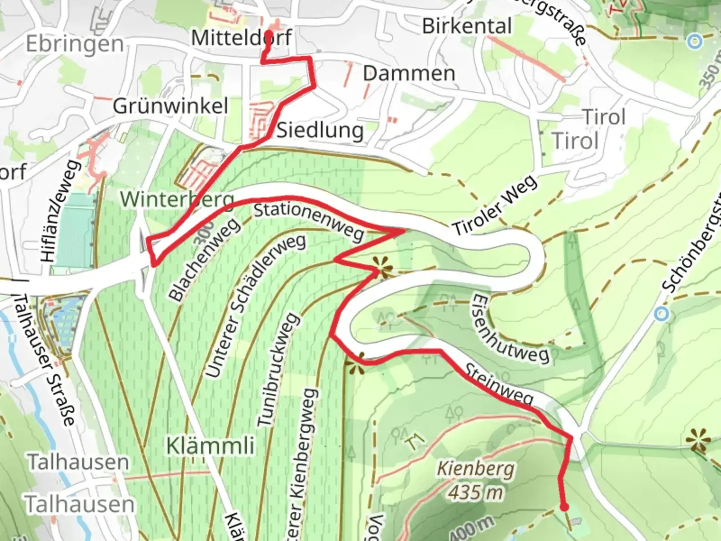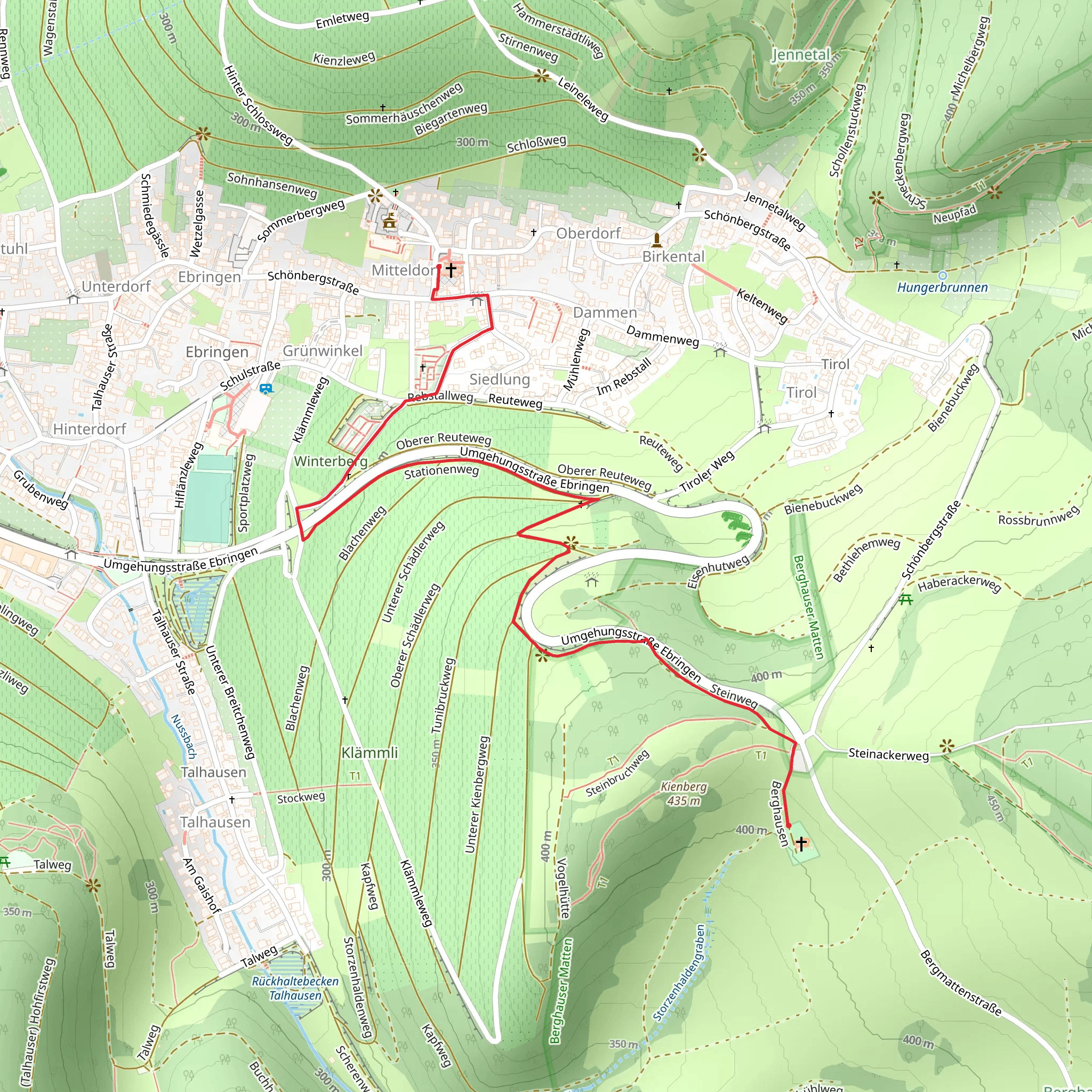
Flurkreuz and Schagge Chriz via Stationenweg and Steinweg
Download
Preview
Add to list
More
2.2 km
~42 min
164 m
Point-to-Point
“Explore the scenic, historic 2 km Black Forest trail in Breisgau-Hochschwarzwald, suitable for moderately fit hikers.”
Starting near the picturesque region of Breisgau-Hochschwarzwald in Germany, this 2 km (1.24 miles) point-to-point trail offers a delightful mix of natural beauty and historical significance. With an elevation gain of approximately 100 meters (328 feet), the trail is estimated to be of medium difficulty, making it accessible for most hikers with a moderate level of fitness.
Getting There To reach the trailhead, you can either drive or use public transport. If you're driving, set your GPS to Breisgau-Hochschwarzwald, Germany, and look for parking options near the starting point. For those using public transport, the nearest significant landmark is the Kirchzarten train station. From Kirchzarten, you can take a local bus or taxi to the trailhead.
Trail Overview The trail begins near the Breisgau-Hochschwarzwald area and quickly immerses you in the serene beauty of the Black Forest. The path is well-marked and maintained, making navigation straightforward. For those who prefer digital navigation tools, HiiKER is an excellent resource to ensure you stay on track.
Key Landmarks and Points of Interest - **Flurkreuz**: Approximately 0.5 km (0.31 miles) into the hike, you'll encounter the Flurkreuz, a historic cross that stands as a testament to the region's rich cultural and religious heritage. This is a great spot to take a short break and soak in the surroundings. - **Schagge Chriz**: As you continue along the trail, around the 1.5 km (0.93 miles) mark, you'll come across the Schagge Chriz. This landmark offers a glimpse into the area's historical significance and provides a unique photo opportunity.
Nature and Wildlife The trail meanders through dense forests and open meadows, offering a diverse range of flora and fauna. Keep an eye out for native wildlife such as deer, foxes, and various bird species. The Black Forest is also known for its rich plant life, including ferns, mosses, and wildflowers, which add a splash of color to the landscape.
Elevation and Terrain The trail features a gradual elevation gain of about 100 meters (328 feet), making it a manageable hike for most. The terrain varies from forest paths to rocky sections, so sturdy hiking boots are recommended. The trail can be slippery after rain, so take extra caution during wet conditions.
Historical Significance The Breisgau-Hochschwarzwald region is steeped in history, with many landmarks dating back to medieval times. The Flurkreuz and Schagge Chriz are not just scenic spots but also hold historical importance, reflecting the area's cultural and religious past.
Final Stretch As you approach the end of the trail, you'll be rewarded with stunning views of the surrounding landscape. The trail concludes near another accessible point where you can either arrange for a pickup or continue exploring the region.
This hike offers a perfect blend of natural beauty, historical landmarks, and manageable terrain, making it a must-visit for anyone in the Breisgau-Hochschwarzwald area.
What to expect?
Activity types
Comments and Reviews
User comments, reviews and discussions about the Flurkreuz and Schagge Chriz via Stationenweg and Steinweg, Germany.
4.33
average rating out of 5
3 rating(s)
