Download
Preview
Add to list
More
11.0 km
~3 hrs 17 min
656 m
Loop
“Explore the captivating 11 km loop of Feldberg, blending scenic views, wildlife, and historical charm.”
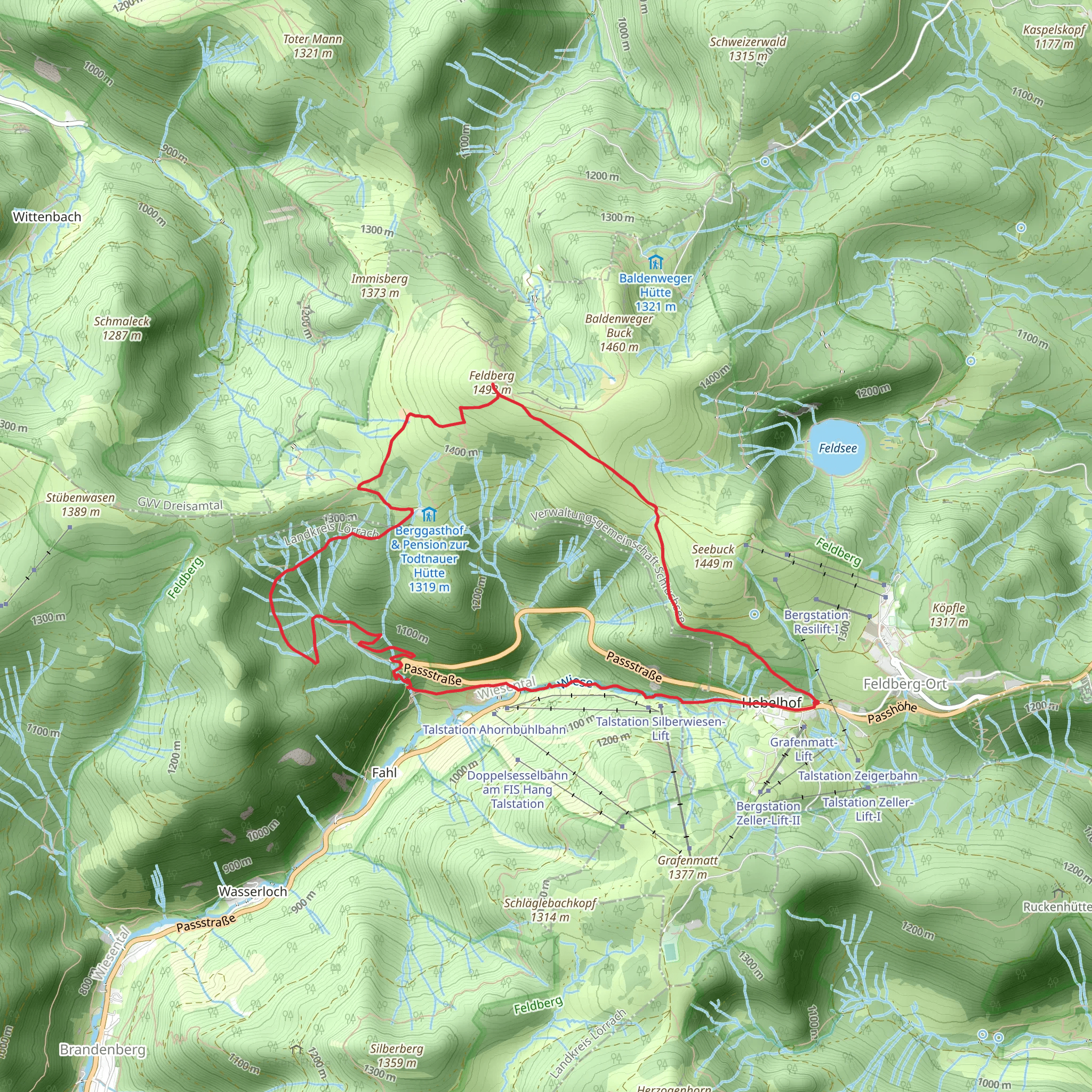
Starting near Breisgau-Hochschwarzwald, Germany, the Feldberg via Grueblesattel - Wiesentalblick and Abzweig Fahl trail is a captivating loop trail that spans approximately 11 km (6.8 miles) with an elevation gain of around 600 meters (1,968 feet). This medium-difficulty hike offers a blend of natural beauty, historical significance, and diverse wildlife, making it a must-experience for avid hikers.
Getting There To reach the trailhead, you can either drive or use public transport. If driving, set your GPS to the nearest known address: Feldbergstraße, 79868 Feldberg, Germany. For those using public transport, take a train to the Feldberg-Bärental station, followed by a bus to the Feldberg Passhöhe stop. From there, it's a short walk to the trailhead.
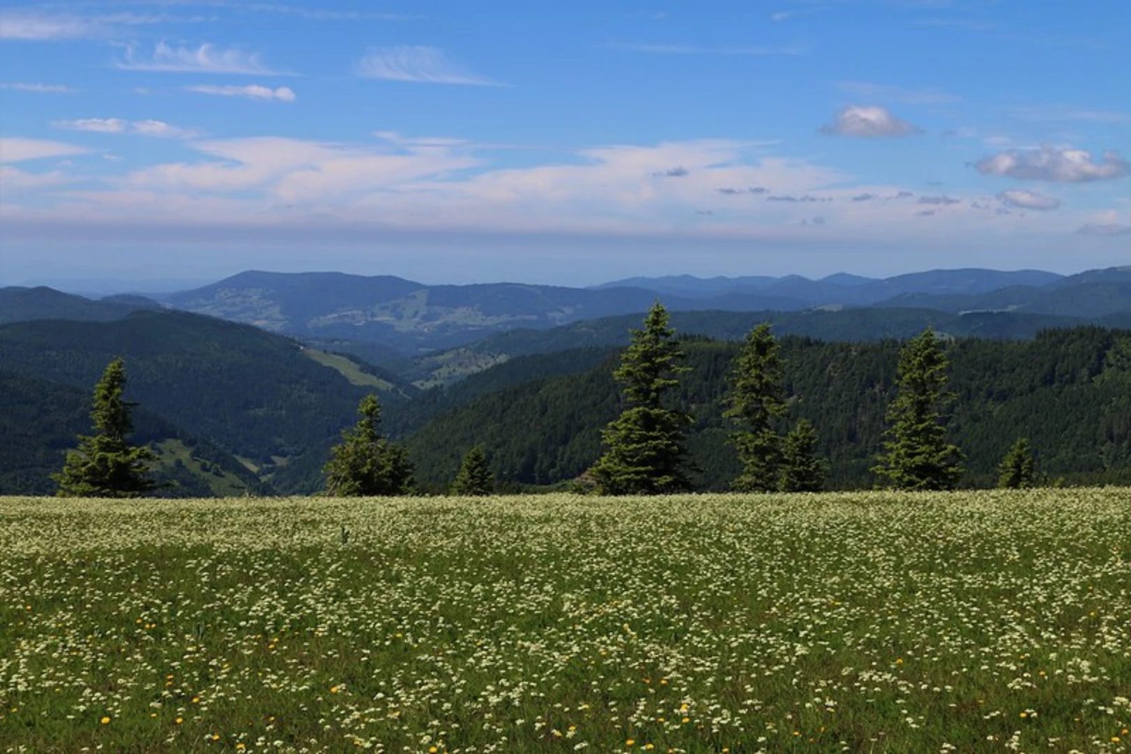
Trail Overview The trail begins with a gentle ascent through dense forest, offering a serene start to your hike. As you progress, the path becomes steeper, leading you to the Grueblesattel, a saddle point that provides your first panoramic views of the surrounding Black Forest. This section is approximately 3 km (1.86 miles) into the hike, with an elevation gain of about 200 meters (656 feet).
Wiesentalblick Continuing along the trail, you'll reach Wiesentalblick, a viewpoint that offers stunning vistas of the Wiesental Valley. This is a perfect spot for a short break and some photography. The viewpoint is located around 5 km (3.1 miles) from the start, with an additional elevation gain of 150 meters (492 feet). Keep an eye out for local wildlife, including deer and various bird species that inhabit the area.
Abzweig Fahl The next significant landmark is Abzweig Fahl, a junction that marks the highest point of the trail at approximately 1,493 meters (4,898 feet) above sea level. This section is about 7 km (4.35 miles) into the hike. From here, the trail begins its descent, offering a different perspective of the landscape as you make your way back to the starting point.
Historical Significance The Feldberg region is rich in history, dating back to the Roman era. The area was historically significant for its strategic location and natural resources. During your hike, you'll come across remnants of ancient settlements and old trade routes that once connected various parts of the Black Forest.
Navigation and Safety Given the trail's moderate difficulty, it's advisable to use a reliable navigation tool like HiiKER to stay on track. The trail is well-marked, but weather conditions can change rapidly, so be prepared with appropriate gear. Always carry a map, sufficient water, and snacks.
Flora and Fauna The trail traverses through diverse ecosystems, from dense coniferous forests to open meadows. Depending on the season, you might encounter blooming wildflowers, mushrooms, and a variety of wildlife. The Black Forest is home to species like the European badger, red fox, and numerous bird species, making it a paradise for nature enthusiasts.
Final Stretch As you descend back towards the trailhead, the path winds through picturesque landscapes, offering a mix of shaded forest sections and open areas with expansive views. The final 4 km (2.5 miles) of the trail are relatively easier, allowing you to enjoy the natural beauty without much exertion.
This trail offers a comprehensive experience of the Black Forest's natural and historical richness, making it a rewarding adventure for those who undertake it.
Comments and Reviews
User comments, reviews and discussions about the Feldberg via Grueblesattel - Wiesentalblick and Abzweig Fahl, Germany.
4.44
average rating out of 5
9 rating(s)

