Download
Preview
Add to list
More
8.5 km
~2 hrs 13 min
315 m
Loop
“Experience the diverse Laimnau Loop: 8 km of forests, meadows, and scenic views near Bodenseekreis, Germany.”
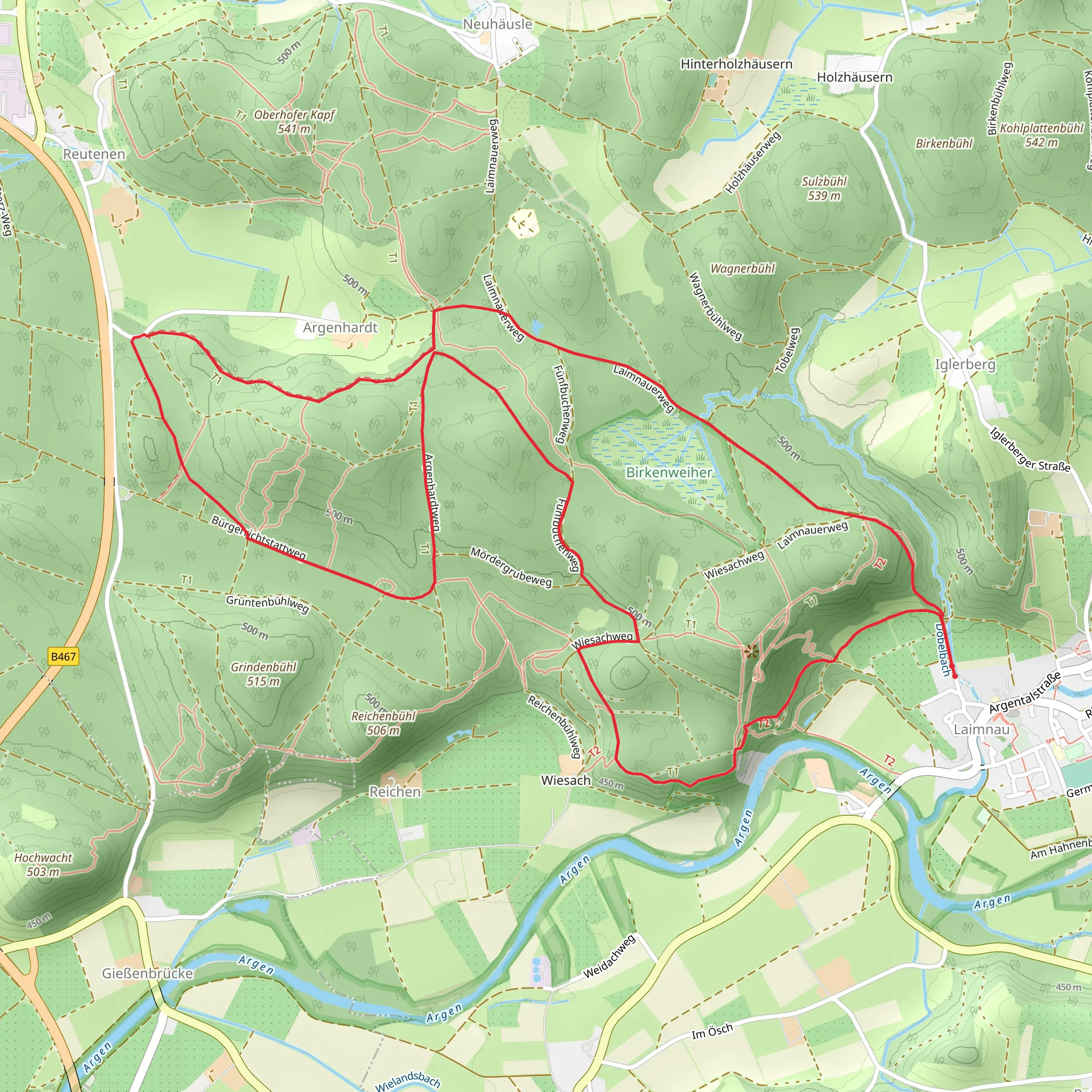
Starting near Bodenseekreis, Germany, the Laimnau Loop is an 8 km (approximately 5 miles) trail with an elevation gain of around 300 meters (about 984 feet). This loop trail is rated as medium difficulty, making it suitable for hikers with some experience.
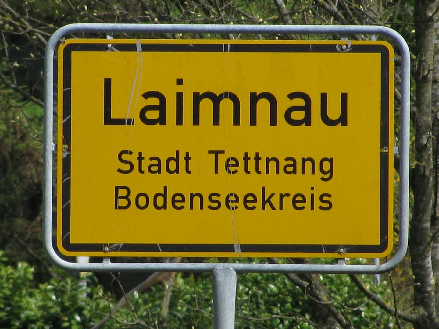
Getting There To reach the trailhead, you can drive or use public transport. If driving, set your GPS to Bodenseekreis, Germany, and look for parking near the village of Laimnau. For those using public transport, take a train to Friedrichshafen and then a local bus to Laimnau. The nearest significant landmark is the Laimnau Church, which is a good starting point for your hike.
Trail Overview The Laimnau Loop offers a diverse hiking experience, featuring a mix of forested paths, open meadows, and scenic viewpoints. The trail is well-marked, but it's always a good idea to have a navigation tool like HiiKER for added assurance.
Key Sections and Landmarks
#### Forested Paths The initial part of the trail takes you through dense forests, where you can enjoy the shade and the sounds of nature. This section is relatively flat, making it a good warm-up for the more challenging parts ahead. Keep an eye out for local wildlife such as deer and various bird species.
#### Open Meadows After about 2 km (1.2 miles), the trail opens up into expansive meadows. This is a great spot to take a break and enjoy the panoramic views of the surrounding countryside. The elevation gain here is gradual, allowing you to catch your breath before the steeper sections.
#### Scenic Viewpoints Around the 4 km (2.5 miles) mark, you'll encounter a series of scenic viewpoints. These spots offer breathtaking views of the Bodensee (Lake Constance) and the Alps in the distance. The elevation gain becomes more noticeable here, so take your time and enjoy the vistas.
Historical Significance The region around Bodenseekreis has a rich history dating back to Roman times. As you hike, you'll come across several historical markers and information boards detailing the area's past. One notable landmark is the ruins of an old Roman watchtower, located about 5 km (3.1 miles) into the hike. This site offers a glimpse into the region's strategic importance in ancient times.
Final Stretch The last 3 km (1.9 miles) of the trail take you back through mixed woodlands and small streams. This section is relatively easy, with a gentle descent leading you back to the starting point near Laimnau Church.
Wildlife and Flora Throughout the hike, you'll encounter a variety of flora and fauna. The forests are home to oak, beech, and pine trees, while the meadows are filled with wildflowers during the spring and summer months. Wildlife sightings may include foxes, hares, and a variety of bird species, making it a rewarding experience for nature enthusiasts.
Preparation Tips Given the medium difficulty rating, it's advisable to wear sturdy hiking boots and bring plenty of water. The trail can be muddy in sections, especially after rain, so be prepared for varying trail conditions. A map or navigation tool like HiiKER is recommended to ensure you stay on track.
By following these guidelines and being prepared, you'll have a memorable and enjoyable hike on the Laimnau Loop.
What to expect?
Activity types
Comments and Reviews
User comments, reviews and discussions about the Laimnau Loop, Germany.
5.0
average rating out of 5
6 rating(s)

