Download
Preview
Add to list
More
4.2 km
~59 min
97 m
Loop
“Explore Berlin's skyline and WWII history on the accessible 4 km Drachenberg and Teufelsberg Loop.”
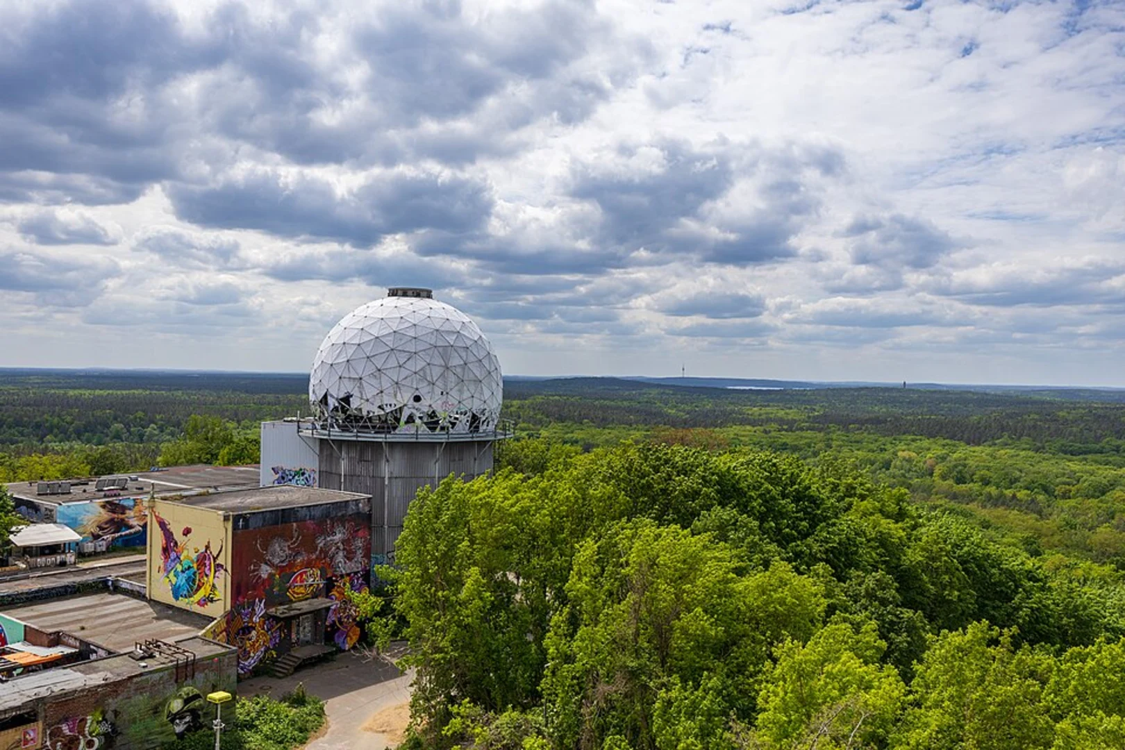
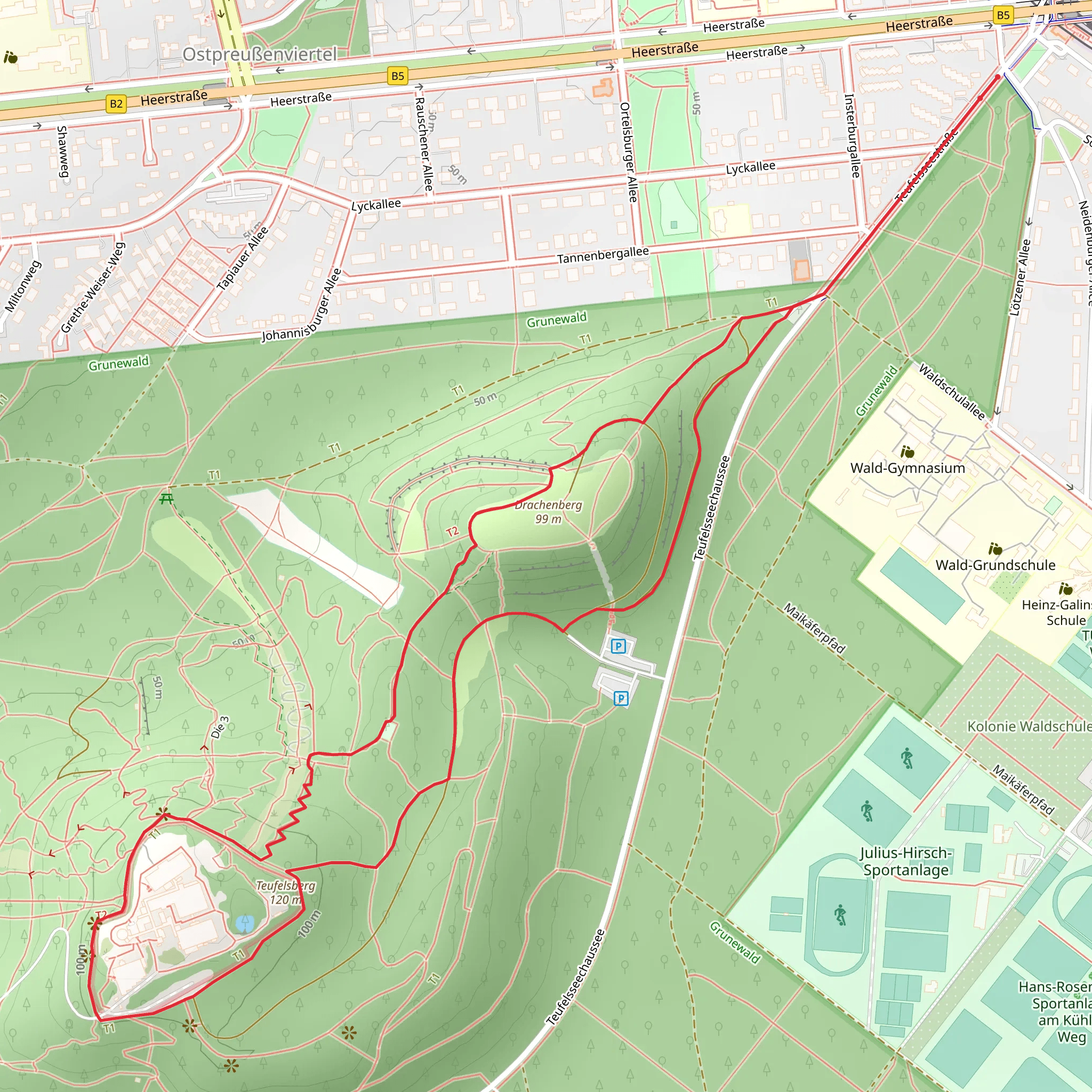
Starting your adventure near Berlin, Germany, the Drachenberg and Teufelsberg Loop is a captivating 4 km (2.5 miles) trail with no significant elevation gain, making it accessible for most hikers. The trailhead is conveniently located near the Heerstraße S-Bahn station, which you can reach via public transport from central Berlin. If you're driving, parking is available near the Teufelsseechaussee.### Trail OverviewThe loop begins with a gentle ascent towards Drachenberg, a hill that offers panoramic views of Berlin's skyline. This initial section is well-marked and easy to follow. As you make your way up, you'll notice the terrain is a mix of gravel and dirt paths, suitable for both casual walkers and more seasoned hikers.### Points of Interest#### DrachenbergApproximately 1 km (0.6 miles) into the hike, you'll reach the summit of Drachenberg. This vantage point provides stunning views of Berlin, including landmarks like the Fernsehturm (TV Tower) and the Reichstag. It's a popular spot for paragliders, so you might catch a few taking off or landing.#### TeufelsbergContinuing along the loop, you'll head towards Teufelsberg, another hill with a fascinating history. Teufelsberg, which translates to "Devil's Mountain," is an artificial hill made from the rubble of World War II. At around the 2.5 km (1.5 miles) mark, you'll encounter the abandoned Cold War-era listening station. The graffiti-covered structures are a stark contrast to the natural surroundings and offer a unique photo opportunity.### Flora and FaunaThe trail meanders through a mix of deciduous and coniferous forests, providing a habitat for various bird species and small mammals. Keep an eye out for red squirrels and woodpeckers. In the spring and summer, the area is lush with wildflowers, adding vibrant colors to your hike.### Navigation and SafetyUsing HiiKER for navigation is highly recommended, as the trail can have some confusing intersections. The app will help you stay on the correct path and provide real-time updates on your progress. While the trail is generally safe, it's advisable to wear sturdy hiking shoes due to occasional uneven terrain.### Getting ThereTo reach the trailhead via public transport, take the S-Bahn to Heerstraße station. From there, it's a short walk to the starting point. If you're driving, set your GPS to Teufelsseechaussee, where you'll find parking options.This loop offers a blend of natural beauty and historical intrigue, making it a must-visit for anyone in the Berlin area.
What to expect?
Activity types
Comments and Reviews
User comments, reviews and discussions about the Drachenberg and Teufelsberg Loop, Germany.
4.6
average rating out of 5
5 rating(s)

