Download
Preview
Add to list
More
3.6 km
~1 hrs 14 min
312 m
Out and Back
“Explore the scenic, historic, and moderately challenging 4 km trail near Berchtesgaden, offering breathtaking alpine views.”
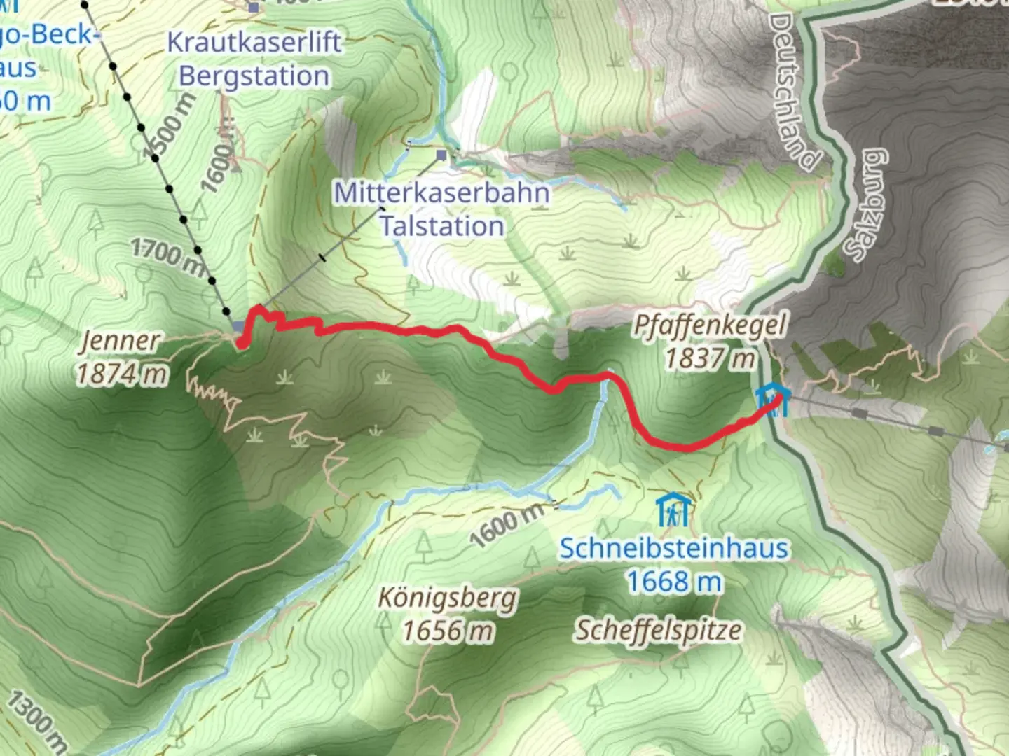
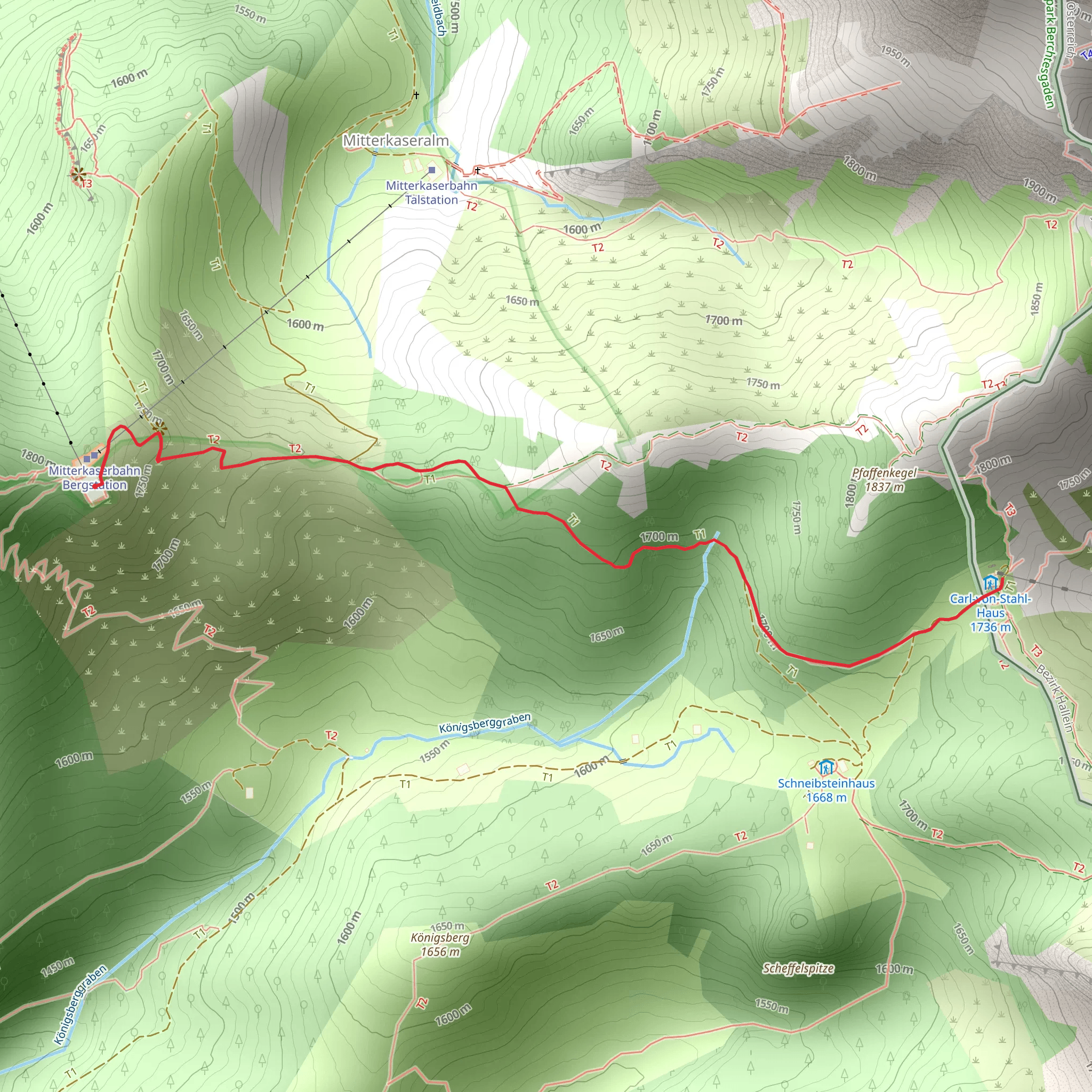
Starting near Berchtesgadener Land in Germany, this 4 km (2.5 miles) out-and-back trail offers a moderate challenge with an elevation gain of approximately 300 meters (984 feet). The trailhead is accessible by car or public transport. If you're driving, you can park near the town of Berchtesgaden. For those using public transport, take a bus or train to Berchtesgaden Hauptbahnhof, and from there, a local bus can take you closer to the trailhead.
Initial Ascent and Terrain
The trail begins with a steady ascent through dense forest, providing ample shade and a cool environment, especially during the summer months. The path is well-marked, but it's advisable to use HiiKER for navigation to ensure you stay on track. The initial 1 km (0.6 miles) involves a gradual climb, gaining about 100 meters (328 feet) in elevation. The terrain is a mix of dirt paths and rocky sections, so sturdy hiking boots are recommended.
Flora and Fauna
As you ascend, you'll notice a rich variety of flora. The lower sections of the trail are dominated by beech and oak trees, while higher elevations feature coniferous forests. Keep an eye out for local wildlife, including deer and various bird species. In spring and early summer, the trail is adorned with wildflowers, adding a splash of color to your hike.
Midpoint and Scenic Views
At around the 2 km (1.2 miles) mark, you'll reach a clearing that offers stunning views of the surrounding mountains and valleys. This is a great spot to take a break and enjoy the scenery. The elevation gain at this point is approximately 200 meters (656 feet). The trail continues to climb, but the gradient becomes steeper, so take your time and pace yourself.
Historical Significance
The region around Berchtesgadener Land is steeped in history. During World War II, this area was part of the Obersalzberg complex, which served as a retreat for high-ranking Nazi officials. While the trail itself does not pass through any historical sites, the nearby town of Berchtesgaden has several museums and memorials that provide insight into this dark chapter of history.
Final Ascent to Torrener Joch
The last stretch of the trail involves a steeper climb, gaining the final 100 meters (328 feet) in elevation over the next 1 km (0.6 miles). The path becomes rockier and more rugged, so use caution and ensure you have good footing. As you approach Torrener Joch, the tree cover thins out, offering panoramic views of the surrounding peaks and valleys.
Reaching the Summit
Upon reaching Torrener Joch, you'll be rewarded with breathtaking views of the Berchtesgaden Alps. This is a perfect spot to rest, take photos, and enjoy a snack before heading back down. The descent follows the same path, so be mindful of your footing, especially on the steeper sections.
Getting Back
The return journey is a straightforward descent back to the trailhead. The total round trip should take around 2-3 hours, depending on your pace and how long you spend at the summit. Once back at the trailhead, you can either drive back or catch a local bus to Berchtesgaden Hauptbahnhof for onward travel.
This trail offers a mix of natural beauty, moderate physical challenge, and a touch of historical context, making it a rewarding hike for those looking to explore the Berchtesgadener Land region.
What to expect?
Activity types
Comments and Reviews
User comments, reviews and discussions about the Torrener Joch via Grosse Reibh, Germany.
4.5
average rating out of 5
2 rating(s)
