Download
Preview
Add to list
More
23.1 km
~1 day 2 hrs
1782 m
Out and Back
“The Kammerlinghorn via AV Weg trail offers 23 km of stunning alpine scenery and historical intrigue for avid hikers.”
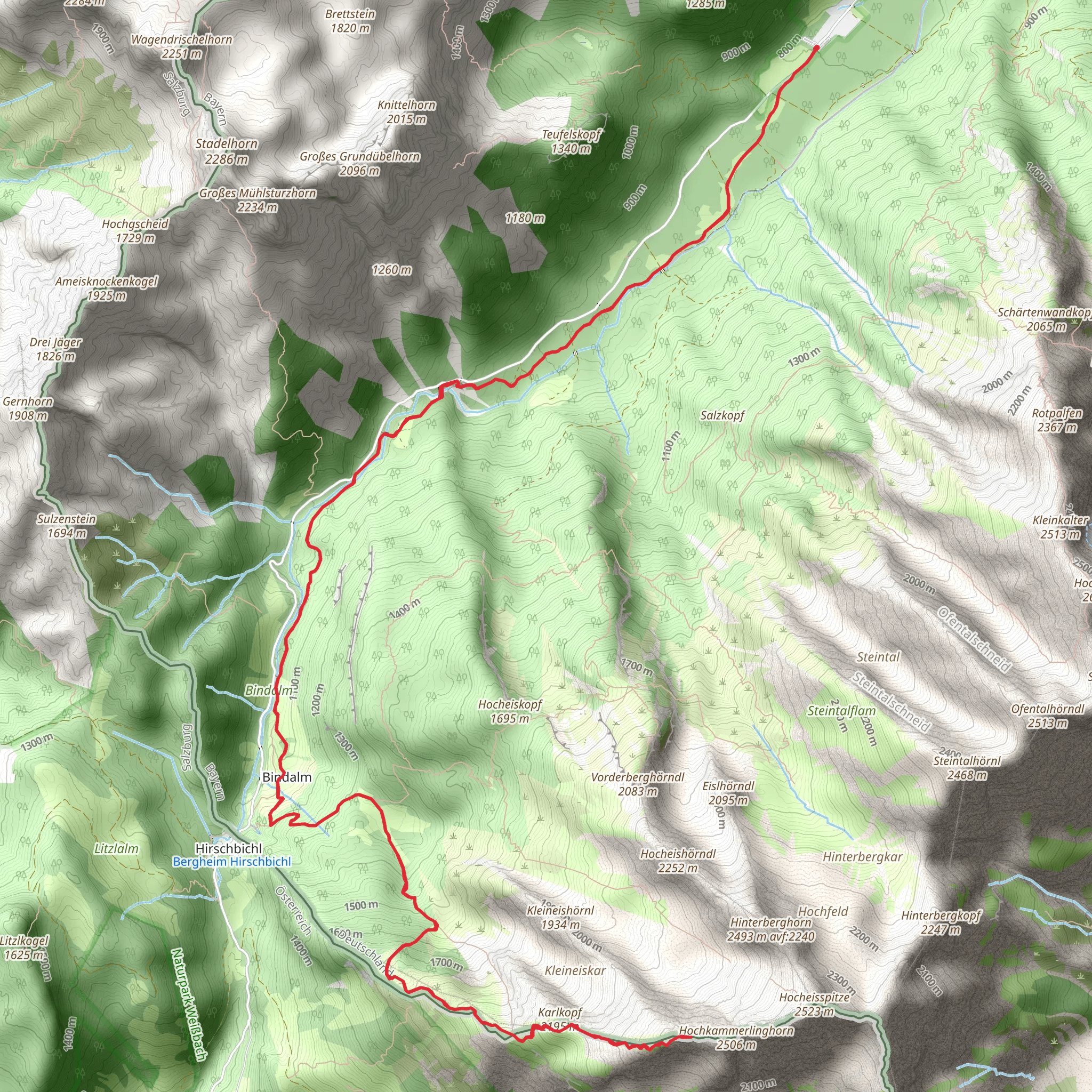
Starting near Berchtesgadener Land, Germany, the Kammerlinghorn via AV Weg trail is a challenging yet rewarding out-and-back hike that spans approximately 23 kilometers (14.3 miles) with an elevation gain of around 1700 meters (5577 feet). This trail offers a mix of stunning alpine scenery, diverse wildlife, and historical significance, making it a must-visit for avid hikers.
Getting There To reach the trailhead, you can drive or use public transport. If driving, head towards Berchtesgadener Land and look for parking near the trailhead. For those using public transport, take a train to Berchtesgaden Hauptbahnhof. From there, you can catch a bus to Ramsau bei Berchtesgaden, which is the nearest significant landmark. The trailhead is a short walk from the bus stop.
Trail Overview The trail begins with a gentle ascent through lush forests, offering a cool and shaded start to your hike. As you progress, the path becomes steeper and more rugged, transitioning into alpine meadows. These meadows are particularly beautiful in the spring and summer months when wildflowers are in full bloom.
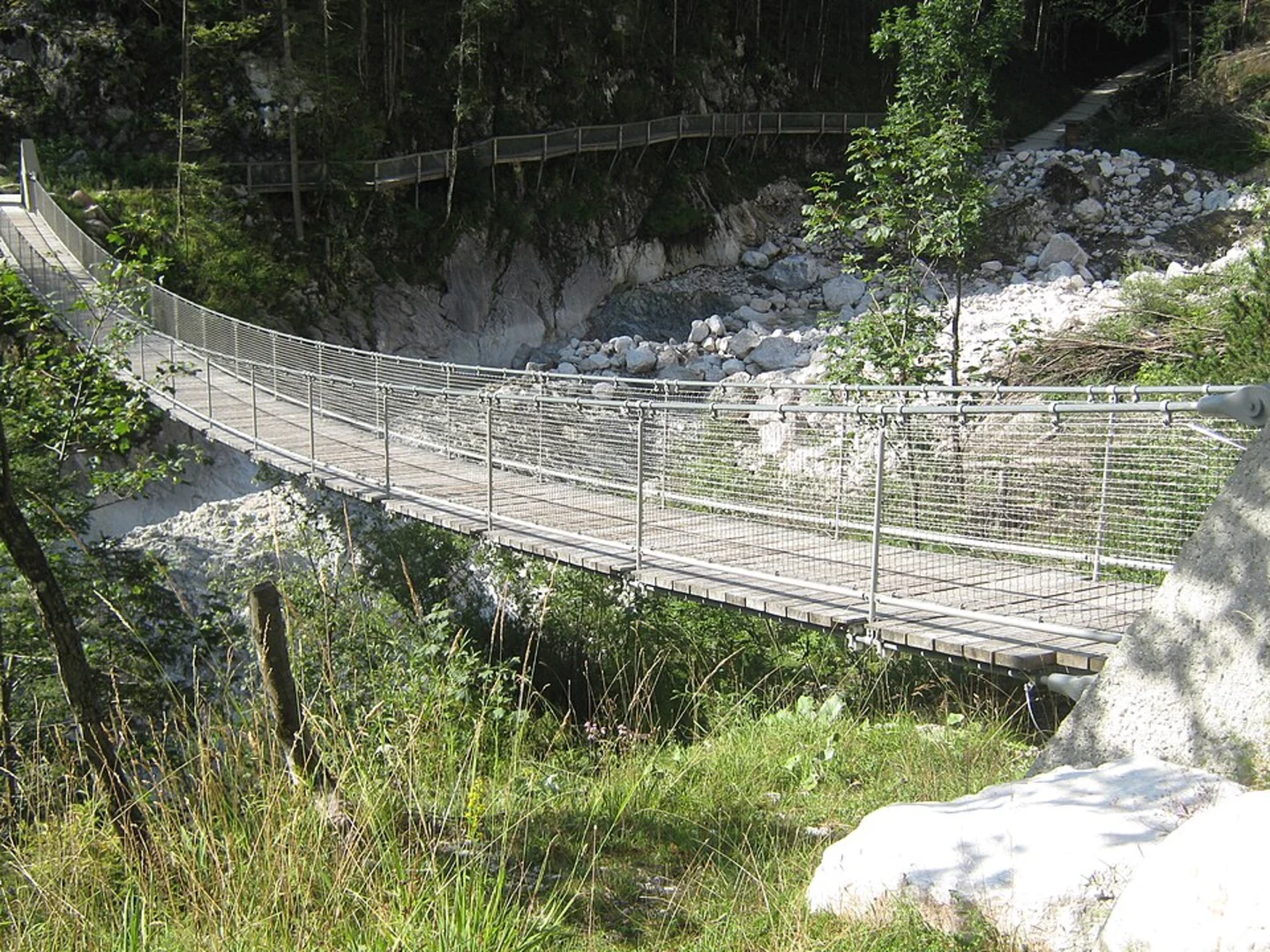
Key Landmarks and Sections - **First Ascent (0-5 km / 0-3.1 miles):** The initial part of the trail takes you through dense forests with a gradual incline. Keep an eye out for local wildlife such as deer and various bird species. The forest eventually opens up to reveal stunning views of the surrounding mountains. - **Alpine Meadows (5-10 km / 3.1-6.2 miles):** As you leave the forest behind, you'll enter expansive alpine meadows. This section is less steep but still challenging due to the uneven terrain. The meadows offer panoramic views and are a great spot for a short break.
- Final Ascent to Kammerlinghorn (10-11.5 km / 6.2-7.1 miles): The last stretch to the summit is the most demanding, with a steep and rocky path. The effort is well worth it, as the summit provides breathtaking 360-degree views of the Berchtesgaden Alps.
Historical Significance The Berchtesgadener Land region is rich in history. During World War II, it was a significant area for the German military, and remnants of old bunkers and fortifications can still be found. The region is also known for its salt mines, which have been in operation since the 16th century. As you hike, you'll be walking through a landscape that has been shaped by both natural and human history.
Wildlife and Flora The trail is home to a variety of wildlife, including marmots, chamois, and golden eagles. The flora is equally diverse, with alpine flowers such as edelweiss and gentian dotting the landscape. The changing seasons bring different sights and sounds, making each hike a unique experience.
Navigation and Safety Given the trail's length and elevation gain, it's crucial to be well-prepared. Use HiiKER for accurate navigation and trail information. Ensure you have adequate water, food, and appropriate clothing for changing weather conditions. The trail can be slippery and treacherous, especially after rain, so sturdy hiking boots are essential.
Return Journey The return journey follows the same path, allowing you to enjoy the scenery from a different perspective. Take your time on the descent, as the steep sections can be hard on the knees.
This trail offers a perfect blend of natural beauty, challenging terrain, and historical intrigue, making it a memorable adventure for any hiker.
Comments and Reviews
User comments, reviews and discussions about the Kammerlinghorn via AV Weg, Germany.
5.0
average rating out of 5
3 rating(s)

