Download
Preview
Add to list
More
13.4 km
~1 day 0 hrs
1816 m
Loop
“The Hoher Goell via Mannlsteig and Schustersteig trail offers breathtaking alpine views, historical intrigue, and diverse wildlife.”
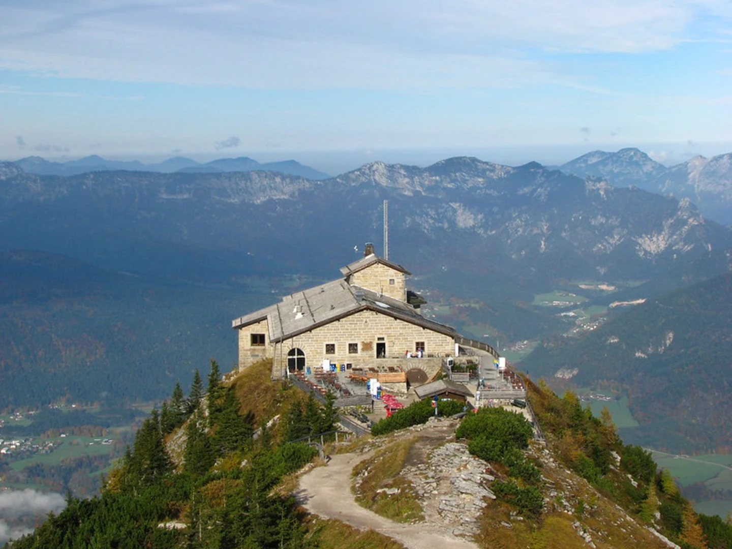
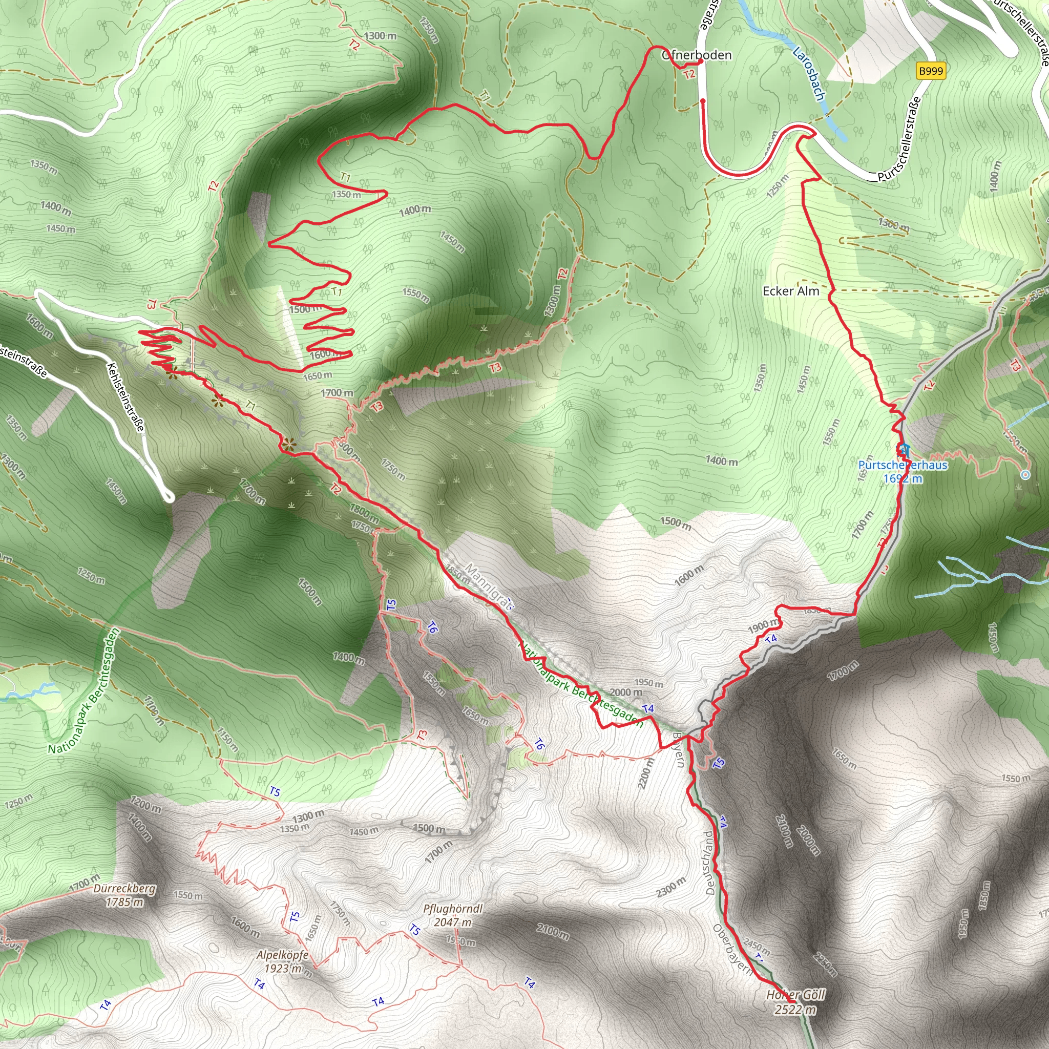
Starting near Berchtesgadener Land, Germany, the Hoher Goell via Mannlsteig and Schustersteig trail is a challenging yet rewarding loop trail that spans approximately 13 kilometers (8 miles) with an elevation gain of around 1800 meters (5905 feet). This trail offers a mix of breathtaking alpine scenery, historical significance, and diverse wildlife, making it a must-visit for avid hikers.### Getting ThereTo reach the trailhead, you can either drive or use public transportation. If driving, head towards Berchtesgadener Land and look for parking near the Obersalzberg area. For those using public transport, take a train to Berchtesgaden Hauptbahnhof and then a bus to the Obersalzberg bus stop. From there, it's a short walk to the trailhead.### Trail OverviewThe trail begins with the Mannlsteig, a well-marked path that quickly ascends through lush forests and rocky terrain. The initial section is steep, gaining approximately 500 meters (1640 feet) in the first 2 kilometers (1.2 miles). As you climb, you'll be treated to panoramic views of the surrounding valleys and peaks.### Mannlsteig SectionThe Mannlsteig is known for its rugged beauty and historical significance. During World War II, this area was part of the Obersalzberg complex, which included Adolf Hitler's Eagle's Nest. While the trail itself does not pass directly by the Eagle's Nest, the historical context adds a layer of intrigue to your hike. Keep an eye out for remnants of old military installations and bunkers hidden among the rocks.### Schustersteig SectionAfter approximately 5 kilometers (3.1 miles), you'll transition to the Schustersteig. This section is more technical, featuring narrow paths and exposed ridges. The elevation gain here is around 800 meters (2625 feet) over 3 kilometers (1.9 miles). It's advisable to use a navigation tool like HiiKER to stay on track, especially in foggy or low-visibility conditions.### Wildlife and FloraThe trail is home to a variety of alpine flora and fauna. You might spot marmots, chamois, and even golden eagles soaring above. The flora ranges from alpine meadows filled with wildflowers to hardy shrubs and mosses clinging to the rocky outcrops. The biodiversity is particularly rich in the summer months, making it an excellent time for nature enthusiasts.### Summit and DescentReaching the summit of Hoher Goell, you'll be rewarded with 360-degree views of the Berchtesgaden Alps and the Dachstein massif. The summit is marked by a large cross and offers a perfect spot for a well-deserved break. The descent follows a different path, looping back towards the trailhead. This section is less steep but still requires careful navigation, descending approximately 500 meters (1640 feet) over 3 kilometers (1.9 miles).### Practical Tips- Weather: The weather in the Alps can change rapidly, so be prepared for sudden shifts in conditions. Always check the forecast before setting out. - Gear: Given the technical sections, sturdy hiking boots, trekking poles, and a helmet are recommended. - Water and Food: There are no facilities along the trail, so bring enough water and snacks to last the entire hike. - Navigation: Use HiiKER for real-time navigation and updates on trail conditions.This trail offers a blend of natural beauty, historical intrigue, and physical challenge, making it a memorable adventure for those prepared to tackle its demands.
What to expect?
Activity types
Comments and Reviews
User comments, reviews and discussions about the Hoher Goell via Mannlsteig and Schustersteig, Germany.
average rating out of 5
0 rating(s)

