Download
Preview
Add to list
More
8.3 km
~2 hrs 54 min
753 m
Loop
“Explore the scenic, historically-rich 8 km loop trail in Berchtesgadener Land with panoramic alpine views.”
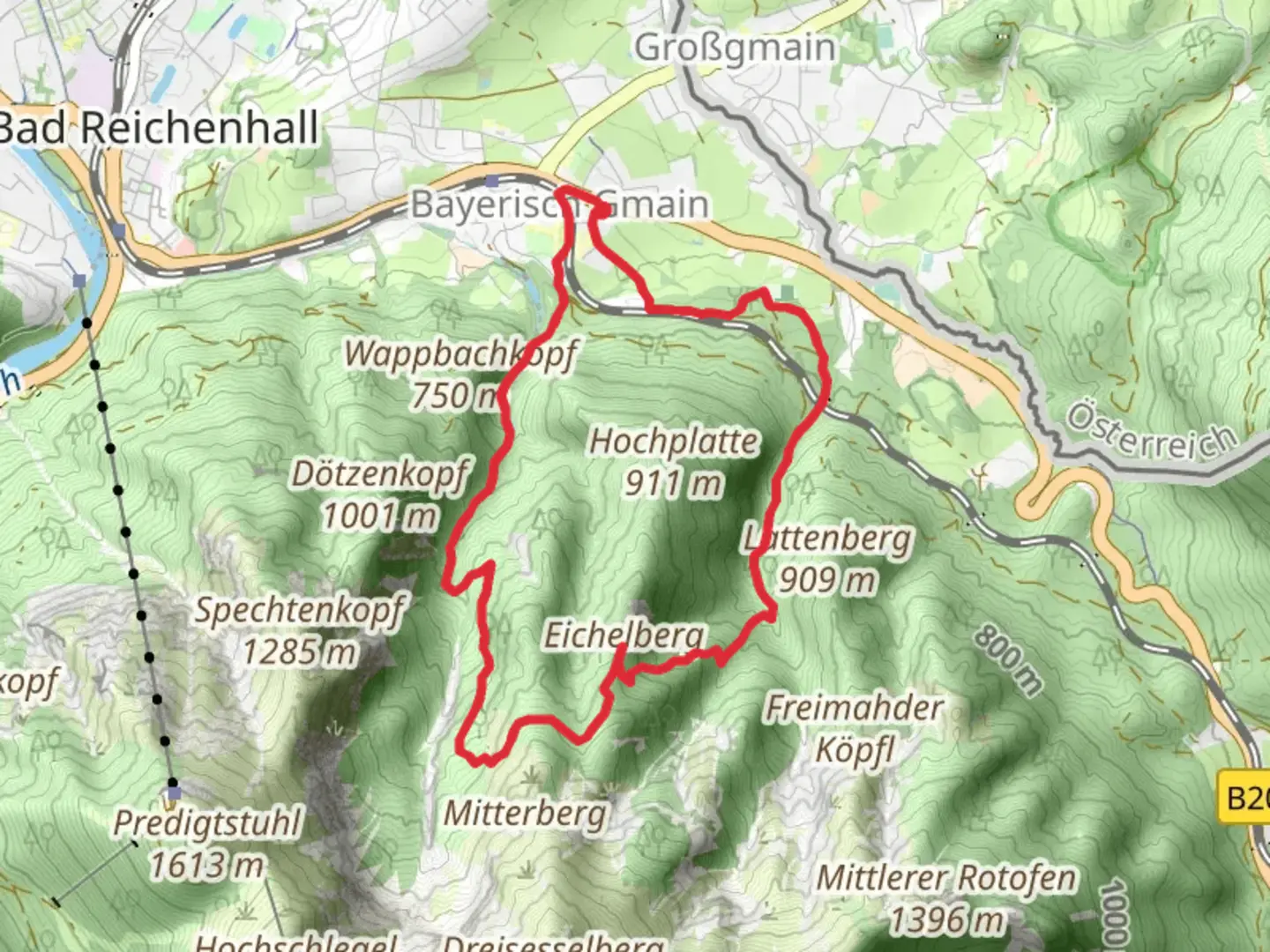
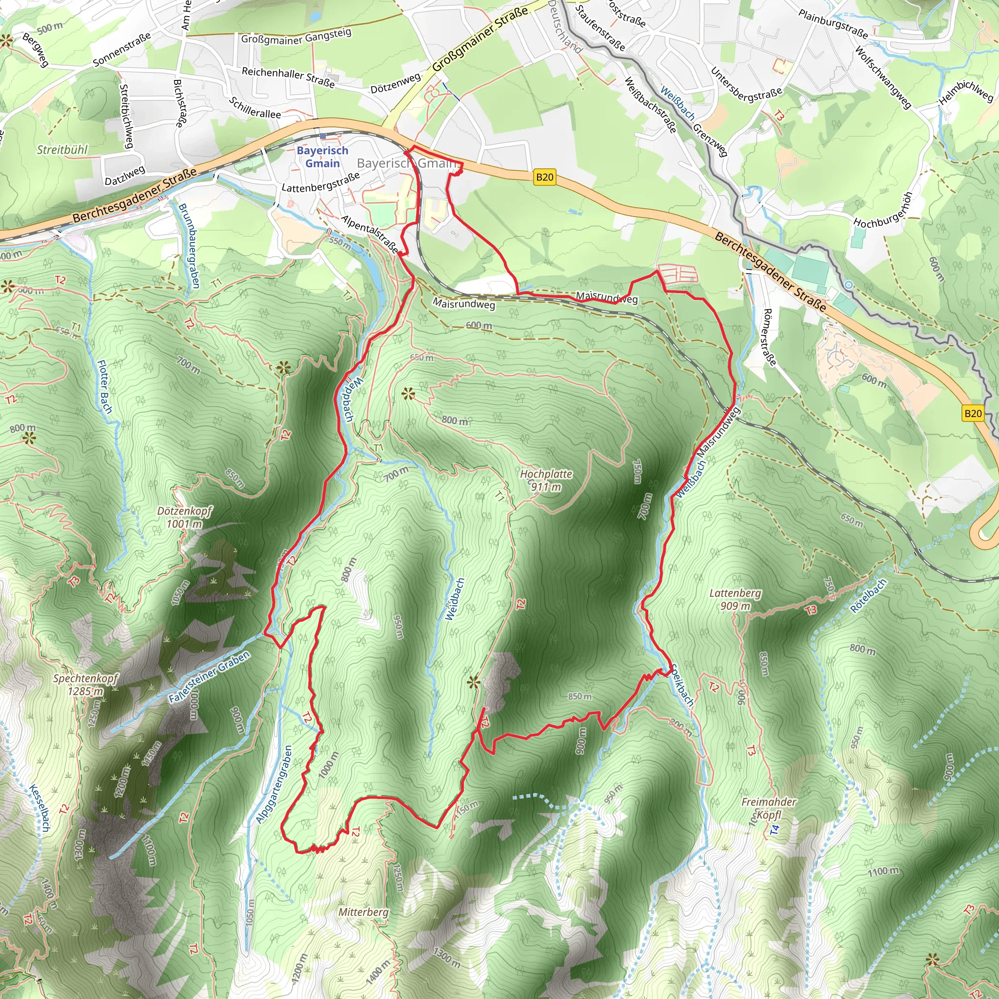
Starting near the picturesque region of Berchtesgadener Land in Germany, this loop trail spans approximately 8 kilometers (5 miles) with an elevation gain of around 700 meters (2,300 feet). The trailhead is conveniently accessible by both car and public transport. If you're driving, you can park near the village of Ramsau bei Berchtesgaden. For those using public transport, take a bus from Berchtesgaden to Ramsau bei Berchtesgaden, which is well-connected and offers frequent services.### Initial Ascent and TerrainThe trail begins with a moderate ascent through dense forests, providing ample shade and a cool environment, especially during the warmer months. The initial 2 kilometers (1.2 miles) will see you gaining about 200 meters (650 feet) in elevation. The path is well-marked, but it's advisable to use HiiKER for precise navigation.### Flora and FaunaAs you ascend, the forest opens up to reveal a diverse range of flora. Look out for native species such as European beech, Norway spruce, and silver fir. Wildlife enthusiasts might spot red deer, chamois, and a variety of bird species including the golden eagle and peregrine falcon. The area is also known for its rich biodiversity of fungi and mosses, particularly in the damper, shaded sections of the trail.### Midpoint and Scenic ViewsAround the 4-kilometer (2.5-mile) mark, you'll reach a plateau that offers stunning panoramic views of the surrounding Berchtesgaden Alps. This is an excellent spot to take a break and soak in the scenery. The elevation here is approximately 1,200 meters (3,940 feet). On clear days, you can see the Watzmann massif and the Königssee lake in the distance.### Historical SignificanceThe region is steeped in history, with Berchtesgadener Land being a significant area during World War II. The nearby Obersalzberg was home to several Nazi leaders, including Adolf Hitler. While the trail itself is more focused on natural beauty, the historical context adds a layer of depth to your hike. The Berghof, Hitler's residence, was located not far from this area and is now a site of historical interest.### Descent and ReturnThe descent begins after the scenic viewpoint, taking you through alpine meadows and past small mountain huts known as "Alms." These huts are often used by local farmers during the summer months for grazing livestock. The path can be steep and rocky in sections, so sturdy hiking boots are recommended. The final 2 kilometers (1.2 miles) will bring you back into the forest, completing the loop as you return to the trailhead.### Practical InformationEnsure you carry enough water and snacks, as there are limited facilities along the trail. Weather can change rapidly in the mountains, so pack a rain jacket and layers. The trail is best hiked from late spring to early autumn when the paths are clear of snow. Always check local weather conditions before setting out.Using HiiKER will help you stay on track and provide real-time updates on your progress. Enjoy your hike through this beautiful and historically rich region of Germany!
What to expect?
Activity types
Comments and Reviews
User comments, reviews and discussions about the Eichelberg via AV Weg, Germany.
4.5
average rating out of 5
2 rating(s)
