Download
Preview
Add to list
More
4.4 km
~1 hrs 37 min
443 m
Point-to-Point
“Embark on a scenic 4km hike through lush forests and historic sites to Graflhohe Windbeutelbaron.”
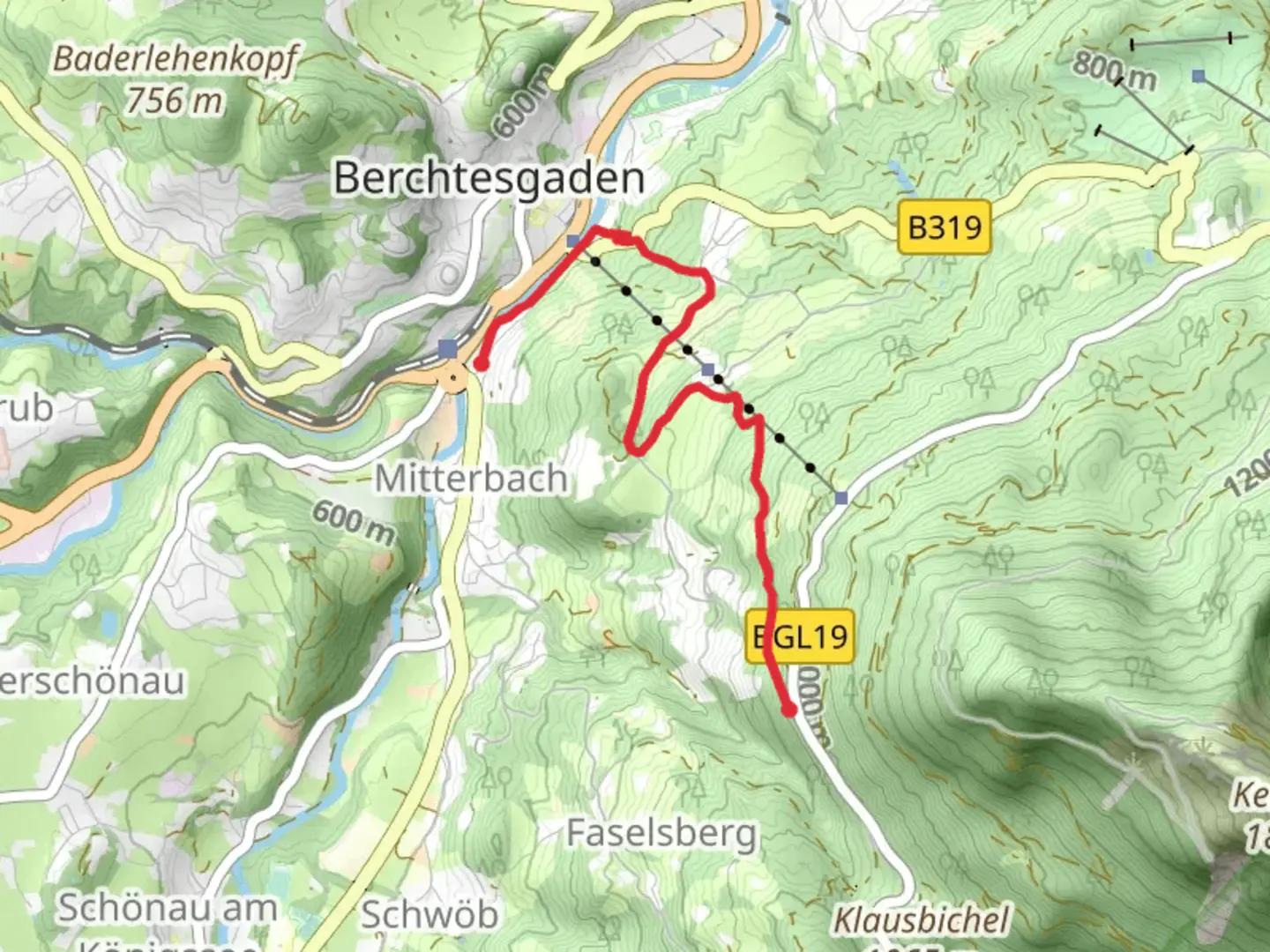
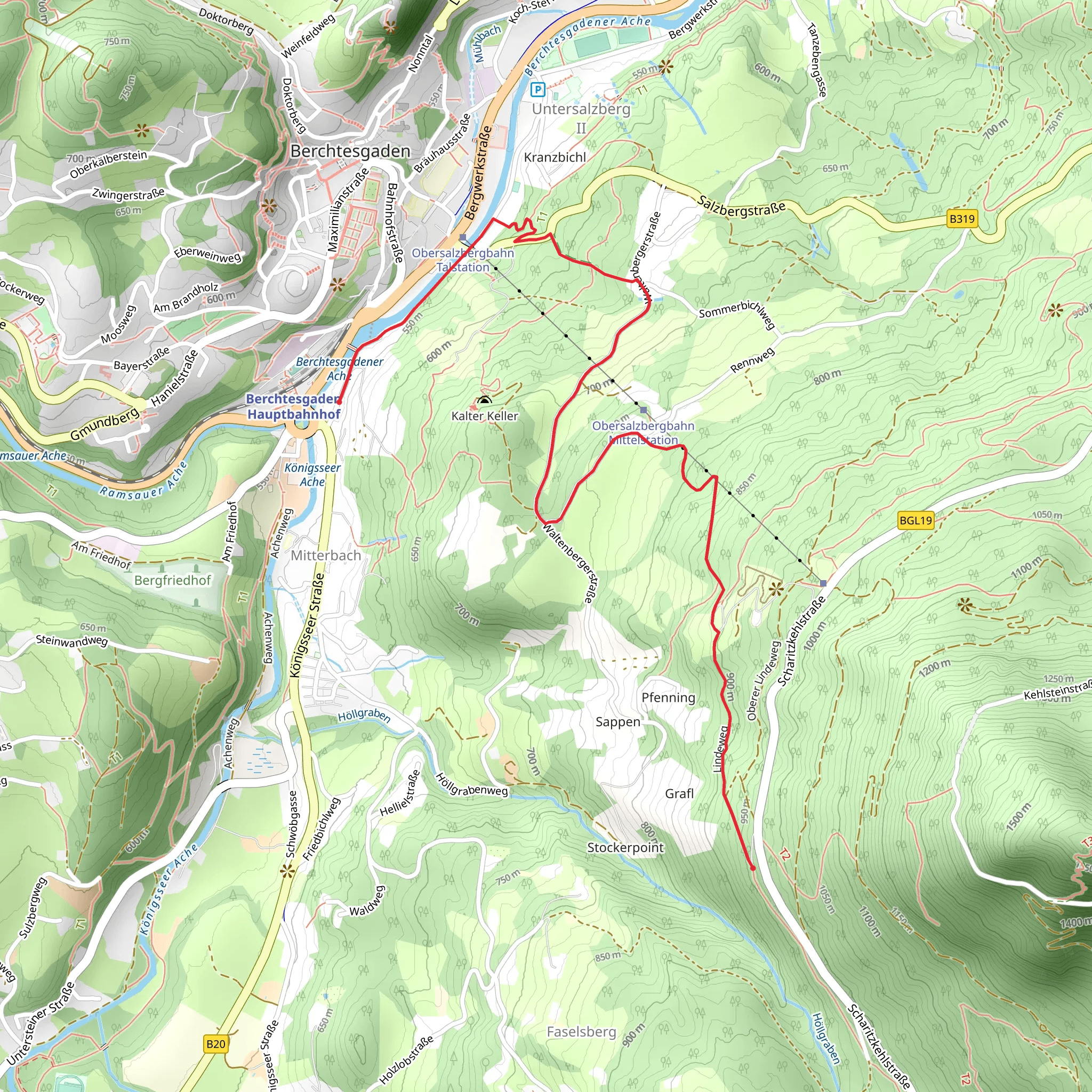
Starting your journey near Berchtesgadener Land, Germany, the trail to Graflhohe Windbeutelbaron offers a delightful mix of natural beauty and moderate challenge. This point-to-point trail spans approximately 4 kilometers (2.5 miles) with an elevation gain of around 400 meters (1,312 feet), making it a medium difficulty hike suitable for those with some hiking experience.
Getting There To reach the trailhead, you can either drive or use public transport. If driving, head towards Berchtesgadener Land and look for parking near the trail's starting point. For those using public transport, the nearest significant landmark is the Berchtesgaden Hauptbahnhof (main train station). From there, local buses can take you closer to the trailhead.
Trail Overview The trail begins with a gentle ascent through lush forests, where you can expect to see a variety of flora and fauna. Keep an eye out for native wildlife such as deer and various bird species. The initial part of the trail is well-marked and relatively easy, making it a good warm-up for the steeper sections ahead.
Significant Landmarks As you progress, you'll come across several notable landmarks. About 1 kilometer (0.6 miles) in, you'll reach a scenic viewpoint offering panoramic views of the surrounding valleys and mountains. This is a great spot for a short break and some photography.
Continuing on, the trail becomes steeper and more challenging. Around the 2.5-kilometer (1.5-mile) mark, you'll encounter a historical site known as the "Old Mill," a relic from the region's past that offers a glimpse into the area's history. This is another excellent spot to rest and take in the surroundings.
Nature and Wildlife The trail is rich in biodiversity. The forested areas are home to a variety of tree species, including beech, oak, and pine. During the spring and summer months, the trail is adorned with wildflowers, adding a splash of color to your hike. Birdwatchers will also find this trail rewarding, with opportunities to spot species like the European robin and the black woodpecker.
Final Ascent The final stretch of the trail involves a more strenuous climb, but the effort is well worth it. As you approach the 4-kilometer (2.5-mile) mark, you'll reach the Graflhohe Windbeutelbaron, a charming mountain hut where you can enjoy traditional Bavarian cuisine and refreshments. The hut offers stunning views of the surrounding peaks and valleys, making it a perfect endpoint for your hike.
Navigation For navigation, it's highly recommended to use HiiKER, which provides detailed maps and real-time updates to ensure you stay on the right path. The trail is generally well-marked, but having a reliable navigation tool can enhance your hiking experience and provide peace of mind.
This trail not only offers a moderate physical challenge but also immerses you in the natural and historical richness of the Berchtesgadener Land region. Whether you're a seasoned hiker or someone looking to explore the beauty of the Bavarian Alps, this trail promises a rewarding experience.
What to expect?
Activity types
Comments and Reviews
User comments, reviews and discussions about the Berchtesgaden to Graflhohe Windbeutelbaron Walk, Germany.
4.38
average rating out of 5
8 rating(s)
