Schneeloch and Ochsenkopf Wahrzeichenfelsen via Fraenkischer Gebirgsweg Teil
Download
Preview
Add to list
More
6.9 km
~1 hrs 55 min
329 m
Out and Back
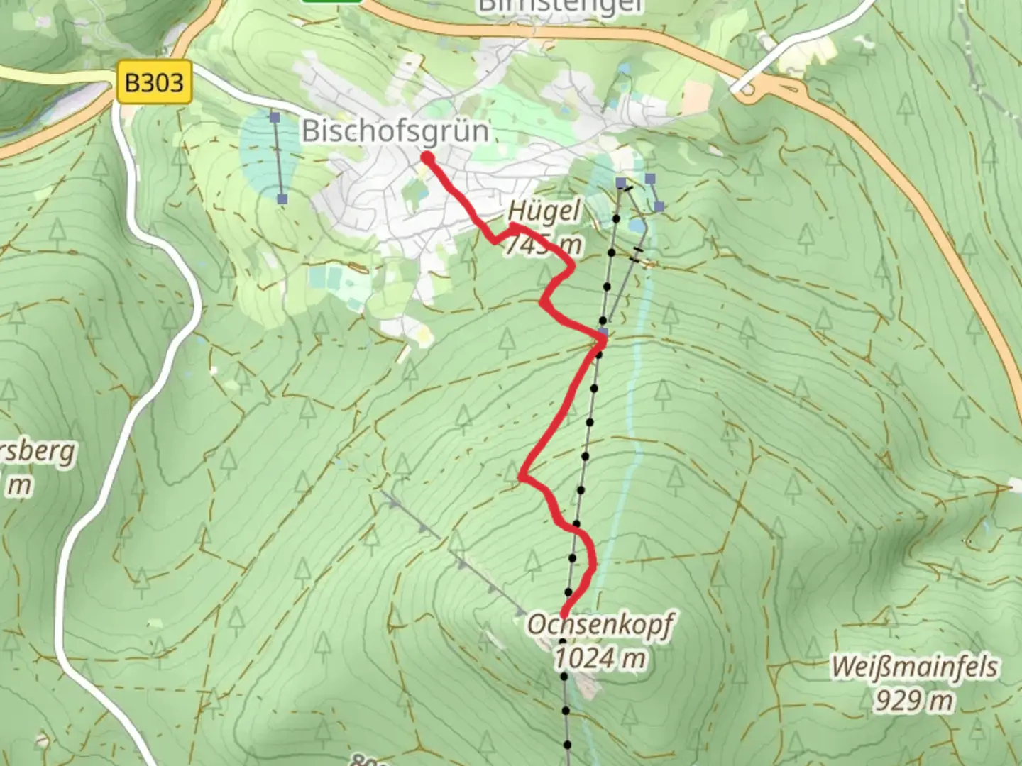
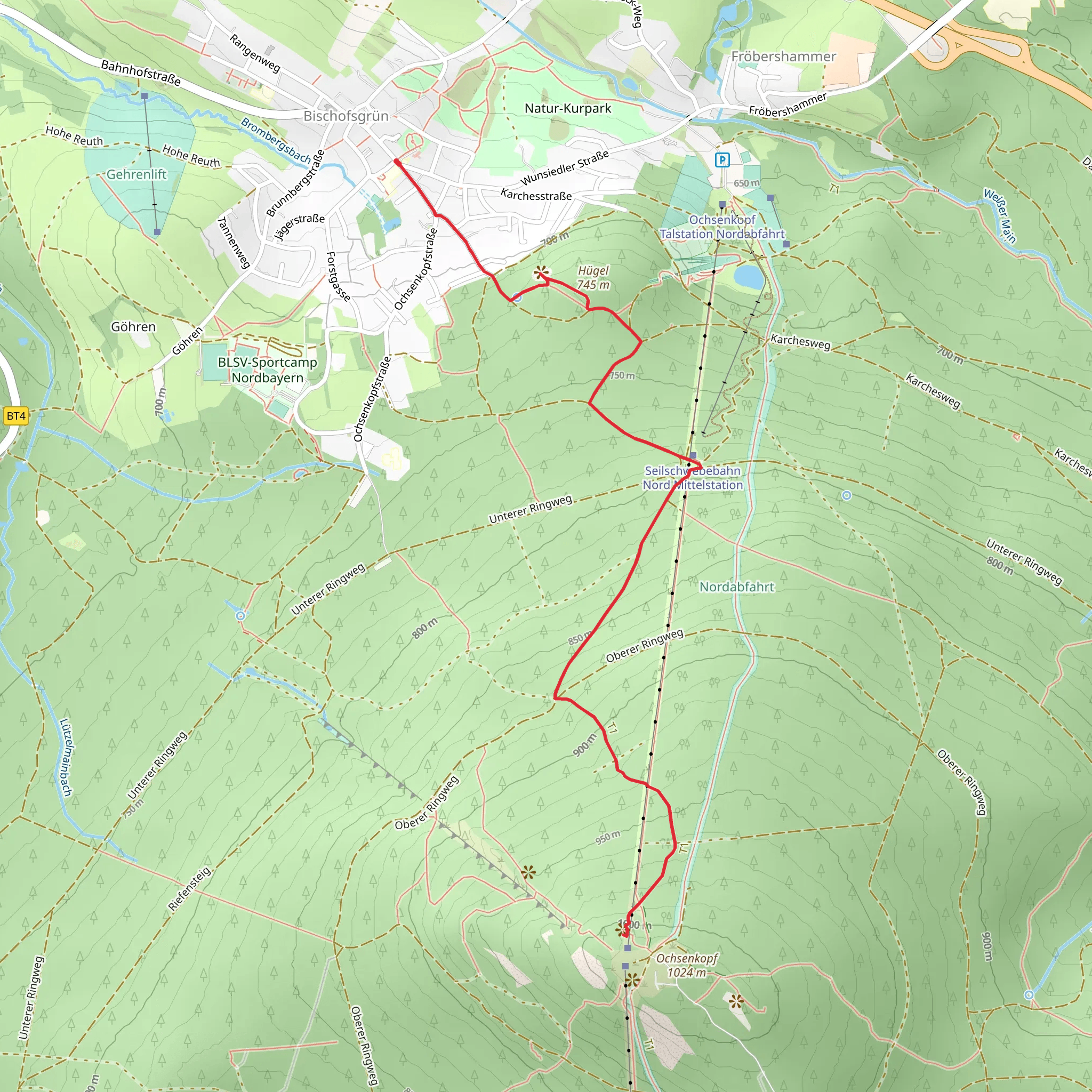
“Explore a 7 km trail near Bayreuth, blending natural beauty, wildlife, and rich historical landmarks.”
Starting near Bayreuth, Germany, this 7 km (approximately 4.35 miles) out-and-back trail offers a delightful mix of natural beauty and historical significance. The trailhead is conveniently accessible by car or public transport. If you're driving, you can park near the village of Warmensteinach, which is a short distance from Bayreuth. For those using public transport, take a bus from Bayreuth to Warmensteinach, and from there, it's a brief walk to the trailhead.
Trail Overview
The trail begins with a gentle ascent, gradually increasing in elevation by around 300 meters (approximately 984 feet). The initial section meanders through dense forests, providing ample shade and a serene atmosphere. As you hike, keep an eye out for local wildlife, including deer and various bird species that inhabit the area.
Significant Landmarks
#### Schneeloch
At around the 2 km (1.24 miles) mark, you'll encounter Schneeloch, a picturesque spot known for its unique rock formations. This area is perfect for a short break and some photography. The rock formations here are a testament to the geological history of the region, shaped over millennia by natural forces.
#### Ochsenkopf Wahrzeichenfelsen
Continuing on, you'll reach the Ochsenkopf Wahrzeichenfelsen at approximately 3.5 km (2.17 miles). This landmark is one of the most iconic features of the trail. The rock formations here are not only visually stunning but also hold historical significance. The area around Ochsenkopf has been a site of human activity for centuries, with evidence of early settlements and ancient trade routes.
Flora and Fauna
The trail is rich in biodiversity. The forested sections are dominated by beech and oak trees, while the underbrush is teeming with ferns and wildflowers, especially in the spring and summer months. Wildlife enthusiasts will appreciate the chance to spot red foxes, wild boars, and a variety of bird species, including woodpeckers and owls.
Navigation and Safety
For navigation, it's highly recommended to use the HiiKER app, which provides detailed maps and real-time updates. The trail is well-marked, but having a reliable navigation tool ensures you stay on track, especially in the denser forest sections.
Historical Context
The region around Bayreuth has a rich history, with roots tracing back to the early medieval period. The trail itself passes through areas that were once part of ancient trade routes, connecting various settlements in the Franconian region. The rock formations at Ochsenkopf have been landmarks for travelers for centuries, serving as natural waypoints.
Getting There
To reach the trailhead, drive or take a bus to Warmensteinach from Bayreuth. If driving, follow the signs to the parking area near the village. For public transport users, the bus ride from Bayreuth to Warmensteinach is straightforward, and the trailhead is just a short walk from the bus stop.
This trail offers a perfect blend of natural beauty, wildlife, and historical intrigue, making it a rewarding hike for those looking to explore the Franconian landscape.
What to expect?
Activity types
Comments and Reviews
User comments, reviews and discussions about the Schneeloch and Ochsenkopf Wahrzeichenfelsen via Fraenkischer Gebirgsweg Teil, Germany.
5.0
average rating out of 5
3 rating(s)
