Download
Preview
Add to list
More
7.9 km
~1 hrs 50 min
162 m
Loop
“The Markgrafen Runde in Bayreuth is a scenic 8 km loop offering moderate hikes through forests, meadows, and historical sites.”
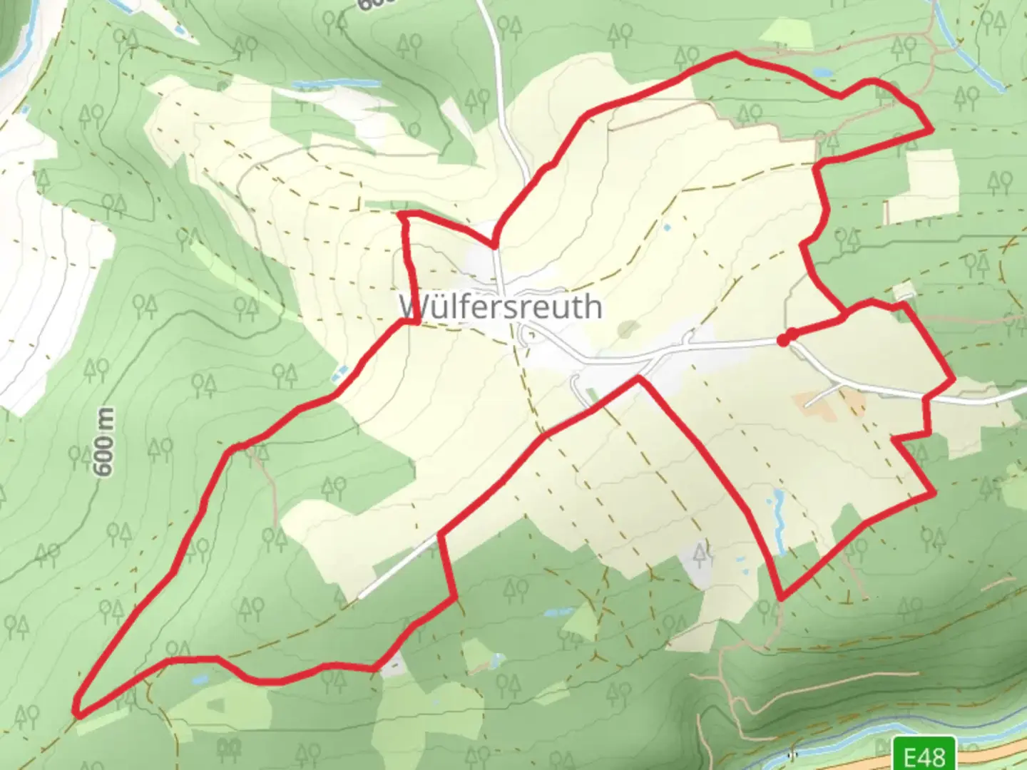
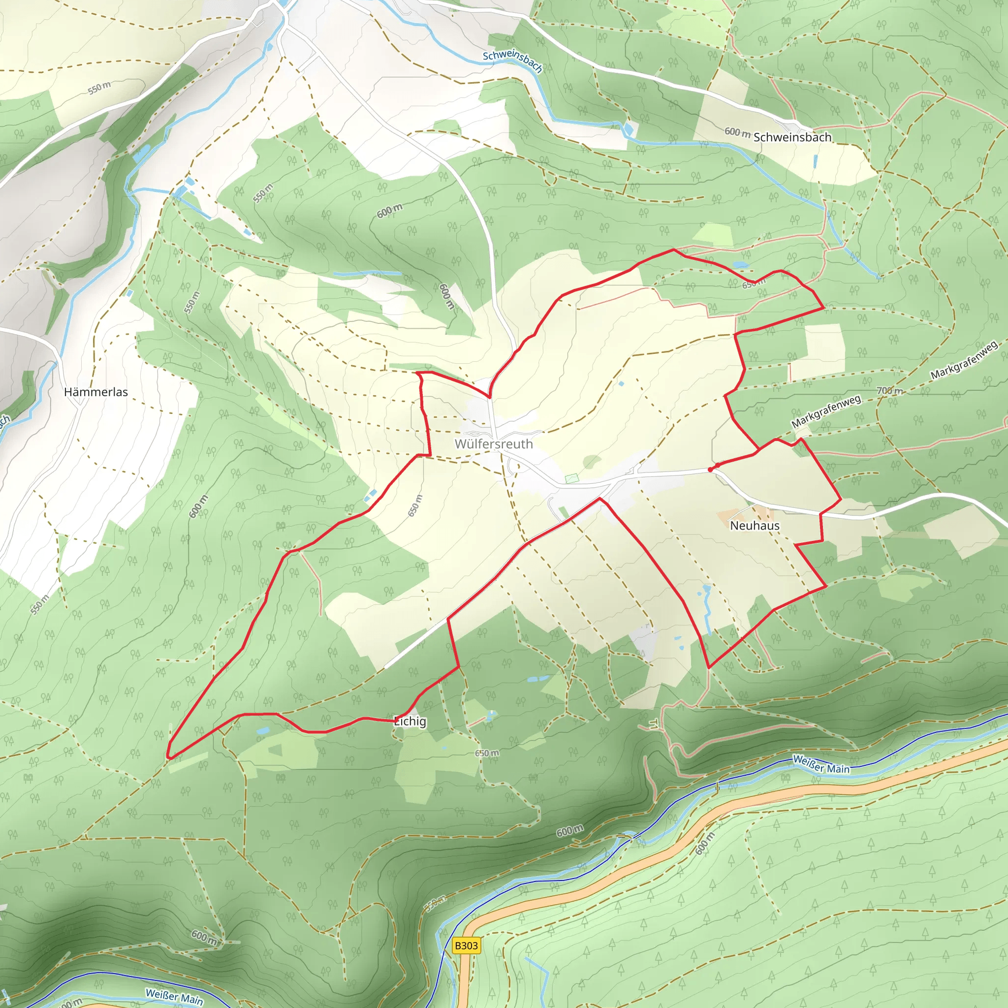
Starting near the picturesque town of Bayreuth, Germany, the Markgrafen Runde is an 8 km (approximately 5 miles) loop trail with an elevation gain of around 100 meters (328 feet). This trail offers a moderate challenge, making it suitable for hikers with some experience.
Getting There To reach the trailhead, you can either drive or use public transportation. If driving, head towards Bayreuth and look for parking near the town center or designated trail parking areas. For those using public transport, Bayreuth is well-connected by train and bus services. From the Bayreuth Hauptbahnhof (main train station), local buses can take you closer to the trailhead. The nearest significant landmark to the trailhead is the Bayreuth Festspielhaus, a renowned opera house.
Trail Overview The Markgrafen Runde takes you through a variety of landscapes, including dense forests, open meadows, and gentle hills. The trail is well-marked, but it's always a good idea to have a reliable navigation tool like HiiKER to ensure you stay on track.
Key Landmarks and Points of Interest - **Bayreuth Festspielhaus**: Starting near this iconic opera house, you'll get a sense of the cultural richness of the area. The Festspielhaus is famous for hosting the annual Richard Wagner Festival. - **Eremitage Palace and Gardens**: About 2 km (1.2 miles) into the hike, you'll come across the Eremitage, a historical palace with beautifully landscaped gardens. This is a great spot to take a break and enjoy the scenery. - **Forest Sections**: As you continue, the trail leads you through serene forested areas. Keep an eye out for local wildlife such as deer, foxes, and a variety of bird species. - **Open Meadows**: Around the 5 km (3.1 miles) mark, the trail opens up into expansive meadows. These areas offer stunning views of the surrounding countryside and are perfect for a picnic. - **Historical Markers**: Scattered along the trail are several historical markers that provide insights into the region's past, including its significance during the Margraviate of Bayreuth.
Elevation and Terrain The elevation gain is moderate, with a total ascent of around 100 meters (328 feet). The trail features a mix of gentle inclines and flat sections, making it manageable for most hikers. However, be prepared for some uneven terrain, especially in the forested areas.
Flora and Fauna The Markgrafen Runde is rich in biodiversity. In the spring and summer, the meadows are adorned with wildflowers, while the forests are home to a variety of trees, including oak, beech, and pine. Wildlife sightings are common, so bring binoculars if you're interested in birdwatching.
Practical Tips - **Footwear**: Wear sturdy hiking boots, as parts of the trail can be rocky and uneven. - **Weather**: Check the weather forecast before you go. The trail can become slippery after rain. - **Supplies**: Bring enough water and snacks, especially if you plan to take breaks at the Eremitage or in the meadows. - **Navigation**: Use HiiKER to keep track of your progress and ensure you stay on the correct path.
This trail offers a delightful mix of natural beauty and historical significance, making it a rewarding experience for those who venture out to explore it.
Comments and Reviews
User comments, reviews and discussions about the Markgrafen Runde, Germany.
4.5
average rating out of 5
4 rating(s)
