Download
Preview
Add to list
More
13.1 km
~3 hrs 15 min
382 m
Loop
“The 13 km Fichtelsee loop near Bayreuth blends natural beauty, historical intrigue, and moderate challenge for hikers.”
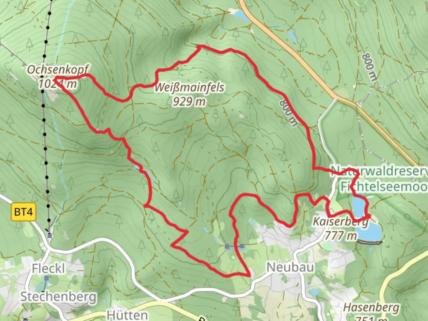
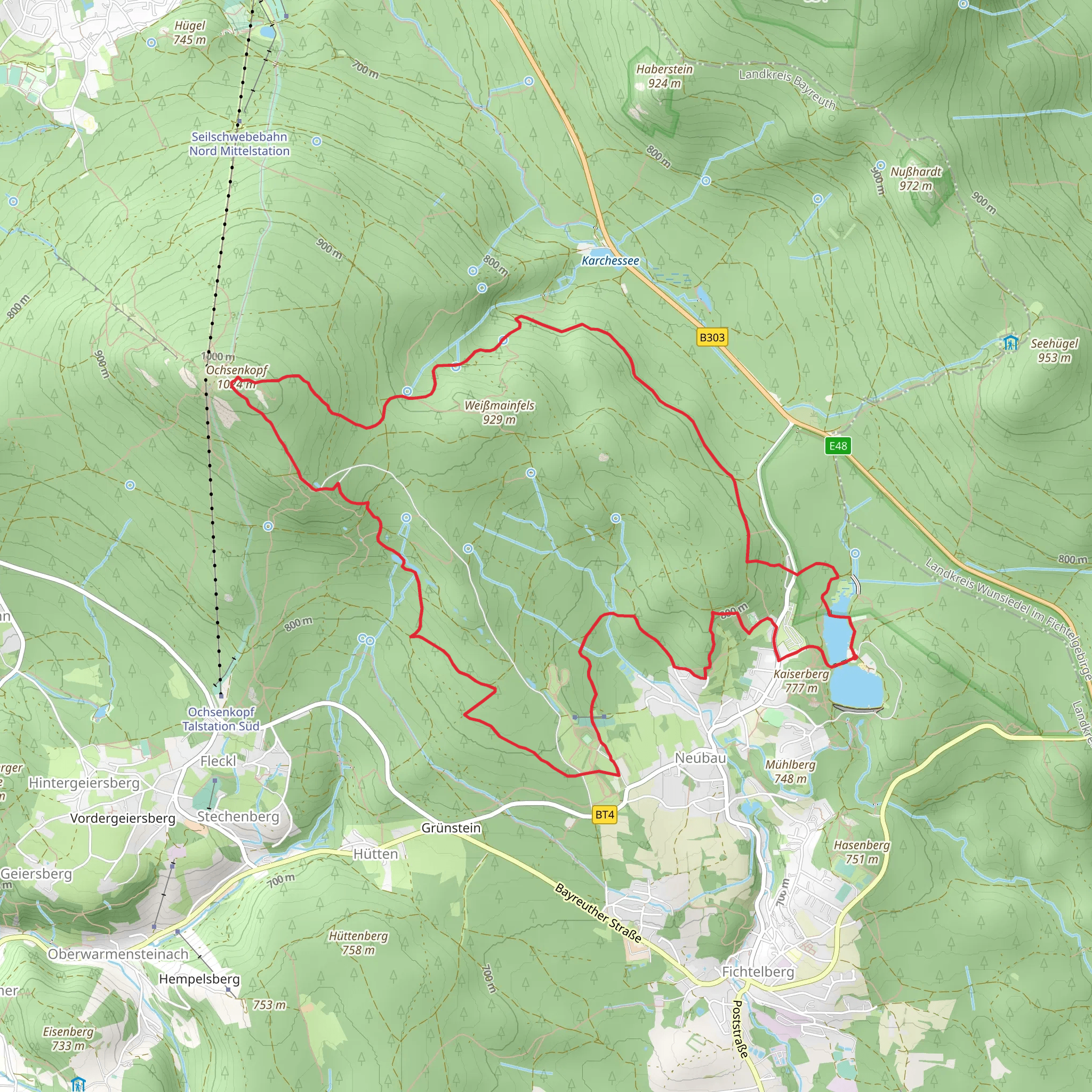
Starting near Bayreuth, Germany, the Fichtelsee via Untere Ringloipe and Fichtelberger Bergwerksweg trail is a 13 km (8 miles) loop with an elevation gain of approximately 300 meters (984 feet). This medium-difficulty trail offers a blend of natural beauty and historical significance, making it a rewarding experience for hikers.
Getting There To reach the trailhead, you can either drive or use public transport. If driving, head towards Fichtelberg, a small town near Bayreuth. The nearest significant landmark is the Fichtelsee, a picturesque lake that serves as a great starting point. For those using public transport, take a train to Bayreuth and then a bus to Fichtelberg. The bus stop near Fichtelsee is conveniently located close to the trailhead.
Trail Overview The trail begins at Fichtelsee, a serene lake surrounded by lush forests. As you start your hike, you'll follow the Untere Ringloipe, a well-marked path that winds through dense woodlands. This section is relatively flat, making it a good warm-up for the more challenging parts ahead. Keep an eye out for local wildlife such as deer and various bird species that inhabit the area.
Historical Significance About 4 km (2.5 miles) into the hike, you'll transition onto the Fichtelberger Bergwerksweg. This part of the trail is steeped in history, as it was once a mining route. The Fichtel Mountains were known for their rich deposits of iron and other minerals, and remnants of old mining operations can still be seen along the path. Informational plaques provide insights into the mining history, making this section both educational and intriguing.
Scenic Highlights As you ascend, the trail becomes more challenging, with a steady climb that offers rewarding views of the surrounding landscape. Approximately 7 km (4.3 miles) into the hike, you'll reach a vantage point that provides panoramic views of the Fichtel Mountains. This is a great spot to take a break and soak in the scenery.
Navigation and Safety The trail is well-marked, but it's always a good idea to have a reliable navigation tool. HiiKER is an excellent app for this purpose, offering detailed maps and real-time updates. The trail can be muddy and slippery, especially after rain, so sturdy hiking boots are recommended. Also, be prepared for sudden weather changes, as the mountainous terrain can be unpredictable.
Flora and Fauna The Fichtel Mountains are home to a diverse range of flora and fauna. You'll pass through mixed forests of spruce, pine, and beech trees. In spring and summer, the forest floor is carpeted with wildflowers, adding a splash of color to your hike. Wildlife sightings are common, so keep your camera ready for a chance to capture deer, foxes, and various bird species.
Final Stretch The final part of the loop brings you back towards Fichtelsee. This section is mostly downhill, providing a gentle end to your hike. As you approach the lake, you'll pass through more open areas, offering different perspectives of the landscape you traversed.
Practical Tips - **Water and Snacks:** There are no facilities along the trail, so bring enough water and snacks to keep you energized. - **Clothing:** Dress in layers, as the weather can change rapidly. - **Timing:** The trail takes around 4-5 hours to complete, so start early to ensure you have plenty of daylight.
This trail offers a perfect blend of natural beauty, historical intrigue, and physical challenge, making it a must-do for any hiking enthusiast visiting the Bayreuth area.
What to expect?
Activity types
Comments and Reviews
User comments, reviews and discussions about the Fichtelsee via Untere Ringloipe and Fichtelberger Bergwerksweg, Germany.
5.0
average rating out of 5
6 rating(s)
