Download
Preview
Add to list
More
13.0 km
~2 hrs 56 min
210 m
Loop
“Explore the Eichhoernchen Wanderweg Lauter for scenic views, wildlife, and historical ruins in Franconian countryside.”
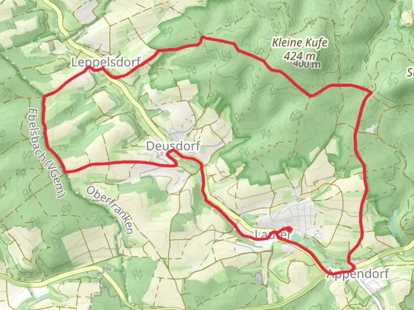
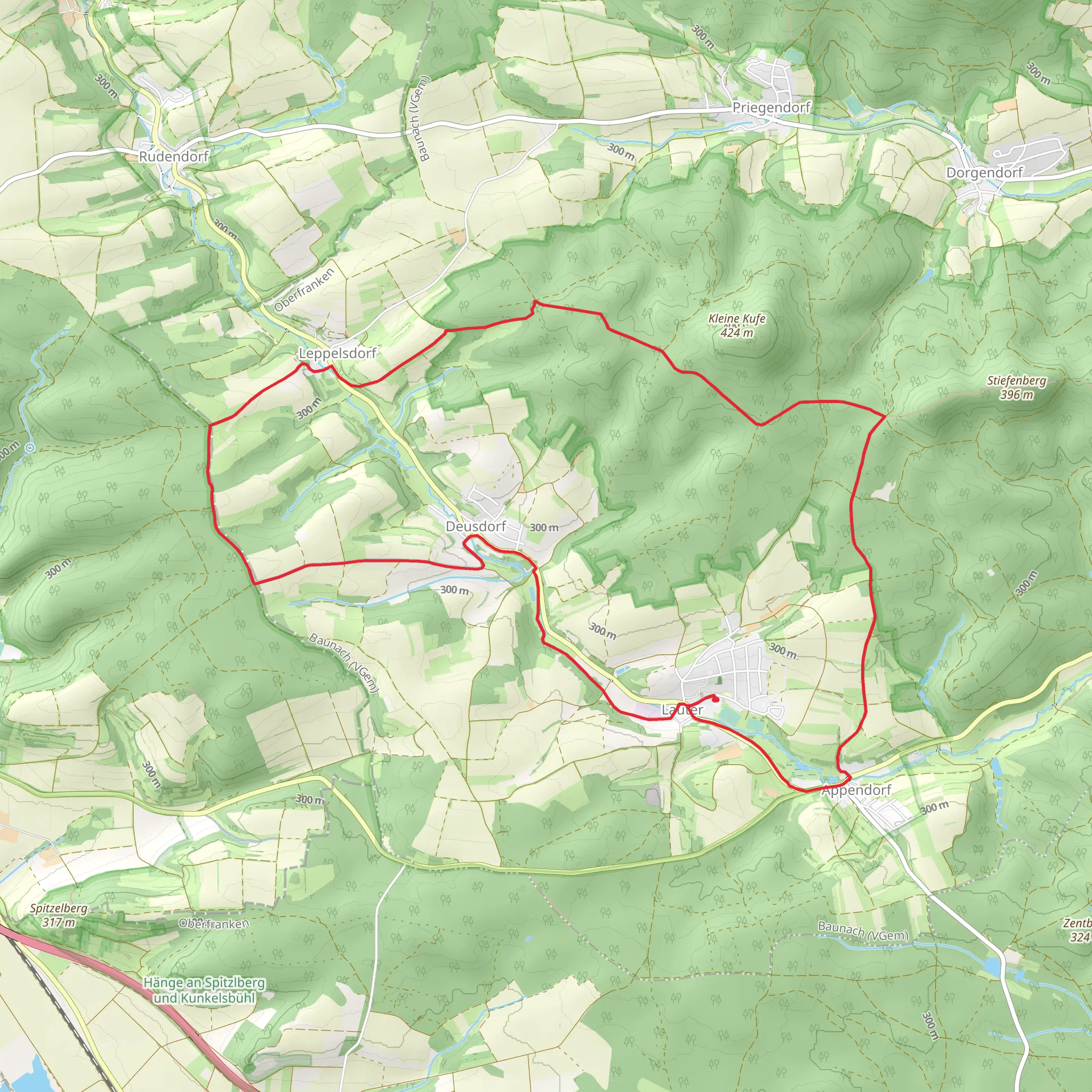
Starting near the picturesque town of Bamberg, Germany, the Eichhoernchen Wanderweg Lauter is a delightful 13 km (approximately 8 miles) loop trail that offers a moderate challenge with an elevation gain of around 200 meters (656 feet). This trail is perfect for those looking to immerse themselves in the serene beauty of the Franconian countryside while enjoying a mix of natural and historical sights.
Getting There To reach the trailhead, you can either drive or use public transport. If driving, head towards Lauter, a small village near Bamberg. There are parking facilities available near the trailhead. For those using public transport, take a train to Bamberg and then a local bus to Lauter. The nearest significant landmark to the trailhead is the Lauter town center, which is well-signposted and easy to find.
Trail Highlights The trail begins in Lauter, winding its way through lush forests and open meadows. Early on, you'll encounter a charming woodland area known for its population of squirrels, which is where the trail gets its name—Eichhoernchen means "squirrel" in German. Keep your eyes peeled for these playful creatures as you make your way through the forest.
Flora and Fauna As you hike, you'll pass through diverse landscapes, including dense deciduous forests and open fields. The area is rich in wildlife, so you might spot deer, various bird species, and, of course, squirrels. The trail is particularly beautiful in the spring and autumn when the foliage is either budding or changing colors.
Historical Significance About halfway through the trail, you'll come across the ruins of an old castle, a remnant of the region's medieval past. This site offers a great spot to take a break and soak in some history. The castle ruins are located approximately 6 km (3.7 miles) from the starting point and involve a slight elevation gain, making it a rewarding climb.
Navigation and Safety The trail is well-marked with signs and markers, but it's always a good idea to have a reliable navigation tool. HiiKER is an excellent app for this purpose, providing detailed maps and real-time location tracking to ensure you stay on course. The trail is generally safe, but be cautious of uneven terrain and slippery sections, especially after rain.
Scenic Views As you approach the latter part of the trail, you'll be rewarded with stunning panoramic views of the Franconian countryside. There are several viewpoints along the way where you can pause and take in the scenery. These spots are perfect for photography or simply enjoying a moment of tranquility.
Final Stretch The last few kilometers of the trail lead you back towards Lauter, passing through more open fields and small patches of forest. The descent is gentle, making for a pleasant end to your hike. Once you return to Lauter, consider exploring the village, which boasts charming architecture and a few local eateries where you can refuel.
This trail offers a balanced mix of natural beauty, wildlife, and historical intrigue, making it a must-visit for any hiking enthusiast exploring the Bamberg region.
Comments and Reviews
User comments, reviews and discussions about the Eichhoernchen Wanderweg Lauter, Germany.
average rating out of 5
0 rating(s)
