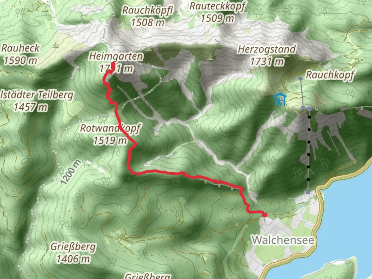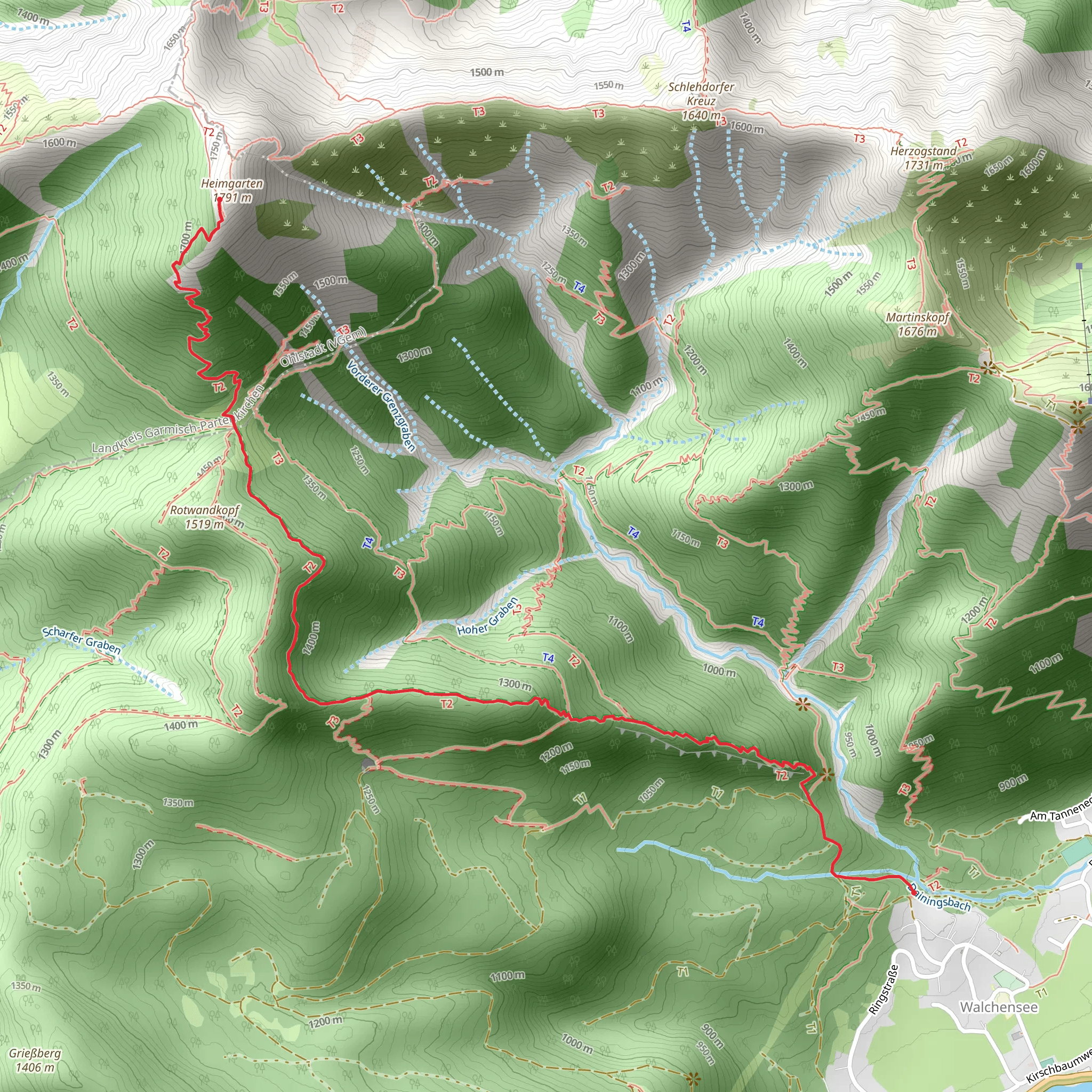
Weisser Schrofen to Whs Heimgartenhuette via Wanderweg Blau
Download
Preview
Add to list
More
5.0 km
~2 hrs 40 min
1009 m
Point-to-Point
“Embark on a moderately challenging, scenic trek through the Bavarian Alps, rich in history and panoramic views.”
Starting near the picturesque town of Bad Tölz-Wolfratshausen in Germany, this trail offers a captivating journey through the Bavarian Alps. The trailhead is easily accessible by car or public transport. If you're driving, you can park near the town center of Bad Tölz. For those using public transport, take a train to Bad Tölz station and then a local bus or taxi to the trailhead.The hike spans approximately 5 kilometers (about 3.1 miles) with an elevation gain of around 1000 meters (3280 feet), making it a moderately challenging trek. The trail is point-to-point, so plan accordingly for your return journey.### Initial Ascent and TerrainThe trail begins with a steady ascent through dense forest, where you'll be surrounded by towering trees and the sounds of nature. The path is well-marked with blue waymarkers, guiding you through the initial stages. As you climb, the forest gradually thins out, offering glimpses of the surrounding mountains and valleys.### Midway Landmarks and ViewsAbout halfway through the hike, you'll reach a scenic viewpoint that provides a stunning panorama of the Bavarian Alps. This is an excellent spot to take a break and soak in the views. The elevation gain at this point is roughly 500 meters (1640 feet), and you can see the town of Bad Tölz in the distance.Continuing on, the trail becomes steeper and rockier. You'll encounter sections where you may need to use your hands for balance, so good hiking boots are essential. The flora changes as you ascend, with alpine flowers dotting the landscape and the occasional sighting of mountain goats or marmots.### Historical SignificanceThis region has a rich history, with the trail passing near several old shepherd huts and remnants of past settlements. These huts were historically used by shepherds during the summer months when they brought their flocks to graze in the high pastures. The area is also known for its role in World War II, where it served as a strategic lookout point.### Final Ascent and ArrivalThe final stretch to the Weisser Schrofen is the most challenging, with a steep climb that rewards you with breathtaking views at the summit. From here, you can see the Heimgartenhuette in the distance, your final destination. The descent to the hut is less strenuous, allowing you to enjoy the alpine scenery.### Wildlife and FloraThroughout the hike, keep an eye out for local wildlife such as deer, eagles, and various alpine birds. The flora is equally impressive, with a variety of wildflowers, including edelweiss and gentians, especially in the summer months.### Navigation and SafetyFor navigation, it's highly recommended to use the HiiKER app, which provides detailed maps and real-time updates. Ensure you have adequate water, snacks, and weather-appropriate clothing, as the weather can change rapidly in the mountains.Upon reaching the Heimgartenhuette, you can enjoy a well-deserved rest and perhaps a meal, as the hut often serves traditional Bavarian dishes. From here, you can either arrange for a pickup or continue on another trail if you're up for more adventure.
What to expect?
Activity types
Comments and Reviews
User comments, reviews and discussions about the Weisser Schrofen to Whs Heimgartenhuette via Wanderweg Blau, Germany.
4.6
average rating out of 5
5 rating(s)
