Heimgarten, Schlehdorfer Kreuz, Herzogstand and Fahrenbergkopf Peak Walk via Wanderweg 445
Download
Preview
Add to list
More
10.4 km
~4 hrs 26 min
1408 m
Point-to-Point
“Experience breathtaking alpine views and historical landmarks on this challenging 10 km hike near Bad Tölz-Wolfratshausen.”
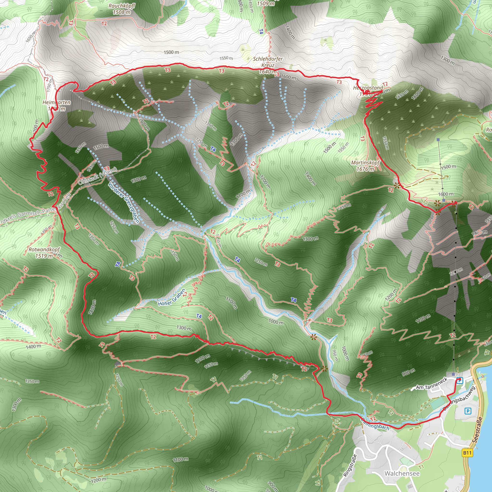
Starting near Bad Tölz-Wolfratshausen, Germany, this 10 km (6.2 miles) point-to-point hike offers a challenging yet rewarding experience with an elevation gain of approximately 1400 meters (4593 feet). The trailhead is accessible by car or public transport. If you're driving, you can park near the Kochel am See area. For those using public transport, take a train to Kochel station and then a bus to the trailhead.
Initial Ascent and Heimgarten
The hike begins with a steep ascent through dense forest, providing a good warm-up for the legs. After about 2 km (1.2 miles), you'll reach the Heimgarten peak at an elevation of 1790 meters (5872 feet). The panoramic views from here are breathtaking, offering a glimpse of the Bavarian Alps and the Kochelsee below. This section is particularly rich in flora, with alpine flowers dotting the landscape during the spring and summer months.
Schlehdorfer Kreuz and Ridge Walk
Continuing along the ridge, you'll encounter the Schlehdorfer Kreuz, a significant landmark featuring a large cross. This section is relatively flat compared to the initial ascent, allowing you to catch your breath while enjoying the stunning vistas. The ridge walk is about 3 km (1.9 miles) long and offers views of both the Walchensee and Kochelsee lakes. Keep an eye out for local wildlife such as chamois and marmots, which are commonly seen in this area.
Herzogstand
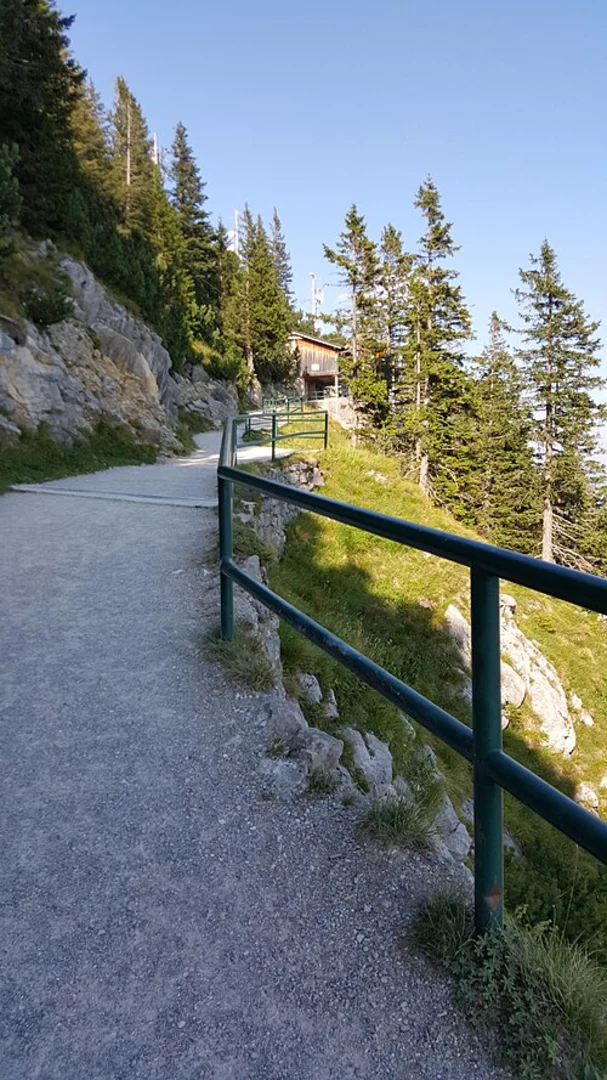
Next, you'll reach the Herzogstand peak, standing at 1731 meters (5679 feet). Historically, this peak was a favorite of King Ludwig II of Bavaria, who had a hunting lodge built here. The Herzogstandhaus, a mountain hut, offers a great spot to rest and perhaps enjoy a traditional Bavarian meal. This section of the trail is well-marked, but it's advisable to use the HiiKER app for navigation to ensure you stay on track.
Fahrenbergkopf Peak and Descent
The final peak on this hike is Fahrenbergkopf, which stands at 1625 meters (5331 feet). The descent from here is steep and can be challenging, especially if the weather is wet. Trekking poles are highly recommended for this section to help maintain balance. The trail winds through a mix of forest and open meadows, eventually leading you to the endpoint near the village of Walchensee.
Historical Significance and Natural Beauty
This region is steeped in history, from the royal connections of Herzogstand to the traditional Bavarian culture evident in the small villages you pass. The natural beauty is equally compelling, with diverse ecosystems ranging from dense forests to alpine meadows. The area is also part of the Bavarian Prealps, known for their geological formations and rich biodiversity.
Getting There
To reach the trailhead, you can drive to Kochel am See and park near the starting point. If using public transport, take a train to Kochel station and then a bus to the trailhead. The trail is well-marked, but using the HiiKER app will ensure you stay on the correct path and can fully enjoy this remarkable hike.
What to expect?
Activity types
Comments and Reviews
User comments, reviews and discussions about the Heimgarten, Schlehdorfer Kreuz, Herzogstand and Fahrenbergkopf Peak Walk via Wanderweg 445, Germany.
4.43
average rating out of 5
14 rating(s)
