Download
Preview
Add to list
More
10.1 km
~2 hrs 51 min
511 m
Loop
“The Vitaltour Rheingrafenstein is a 10-kilometer trail blending natural beauty, history, and panoramic views.”
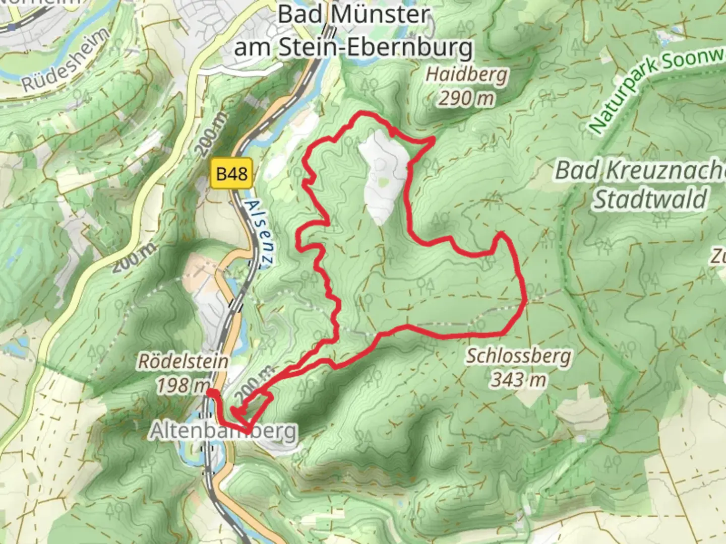
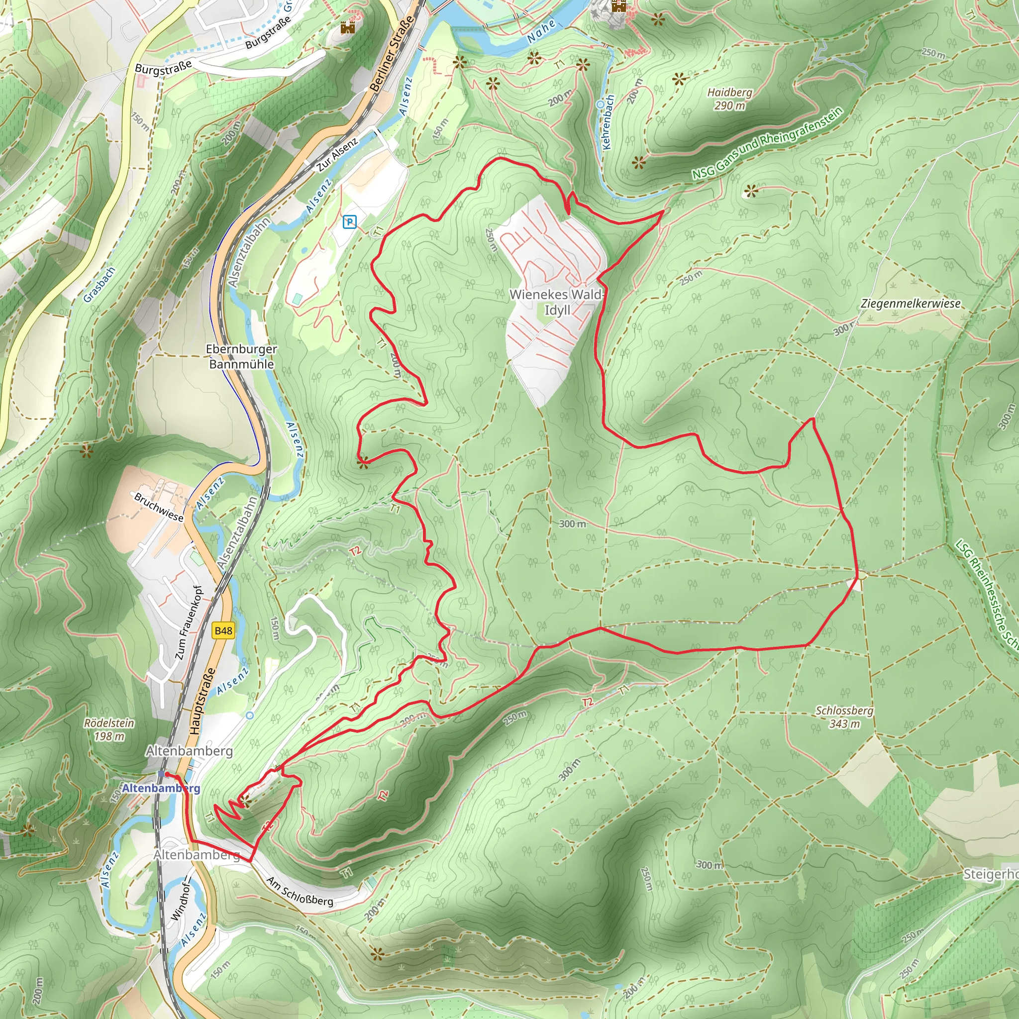
Starting near the charming town of Bad Kreuznach in Germany, the Vitaltour Rheingrafenstein is a captivating loop trail that spans approximately 10 kilometers (6.2 miles) with an elevation gain of around 500 meters (1,640 feet). This medium-difficulty trail offers a blend of natural beauty, historical landmarks, and panoramic views, making it a rewarding experience for hikers.
Getting There To reach the trailhead, you can either drive or use public transport. If driving, head towards Bad Kreuznach and look for parking options near the Kurhaus or the Salinental. For those using public transport, take a train to Bad Kreuznach station. From there, local buses or a short taxi ride can get you to the trailhead near the Kurhaus.
Trail Highlights #### Salinental Starting your hike, you'll pass through the Salinental, known for its historic saltworks. The saline graduation towers here are a unique sight, and the area is rich in history related to salt production, which dates back to Roman times.
#### Rheingrafenstein Rock One of the most significant landmarks on this trail is the Rheingrafenstein Rock. This imposing rock formation offers stunning views over the Nahe Valley. The climb to the top is steep but manageable, and the panoramic vistas are well worth the effort. The rock itself has historical significance, as it was once the site of a medieval castle, remnants of which can still be seen.
#### Rotenfels Another highlight is the Rotenfels, the highest cliff face north of the Alps, standing at about 202 meters (663 feet). The views from here are breathtaking, offering a sweeping panorama of the Nahe River and the surrounding vineyards. This section of the trail is particularly scenic and provides excellent photo opportunities.
Flora and Fauna The trail winds through diverse landscapes, including dense forests, open meadows, and vineyard-covered hills. Keep an eye out for local wildlife such as deer, foxes, and a variety of bird species. The flora is equally diverse, with wildflowers, oak, and beech trees lining the path.
Navigation and Safety Given the trail's moderate difficulty, it's advisable to use a reliable navigation tool like HiiKER to stay on track. The trail is well-marked, but having a digital map can be helpful, especially in densely wooded areas where the path might be less obvious.
Historical Significance The region around Bad Kreuznach has a rich history, with evidence of human settlement dating back to Roman times. The Rheingrafenstein Rock and the surrounding area have been of strategic importance throughout history, serving as a lookout and defensive position. The remnants of medieval structures add a layer of historical intrigue to your hike.
Practical Tips - Wear sturdy hiking boots, as some sections of the trail can be rocky and uneven. - Bring plenty of water and snacks, especially if you plan to take your time exploring the various landmarks. - Check the weather forecast before heading out, as the trail can be slippery in wet conditions. - If you're hiking in the summer, consider starting early to avoid the midday heat.
The Vitaltour Rheingrafenstein offers a perfect blend of natural beauty, historical landmarks, and challenging terrain, making it a must-visit for any hiking enthusiast.
What to expect?
Activity types
Comments and Reviews
User comments, reviews and discussions about the Vitaltour Rheingrafenstein, Germany.
4.33
average rating out of 5
3 rating(s)
