Download
Preview
Add to list
More
13.4 km
~3 hrs 20 min
399 m
Loop
“Embark on the Rundweg Neupfalz and Michels Vitaltour Loop for a scenic 13 km hike through history and nature.”
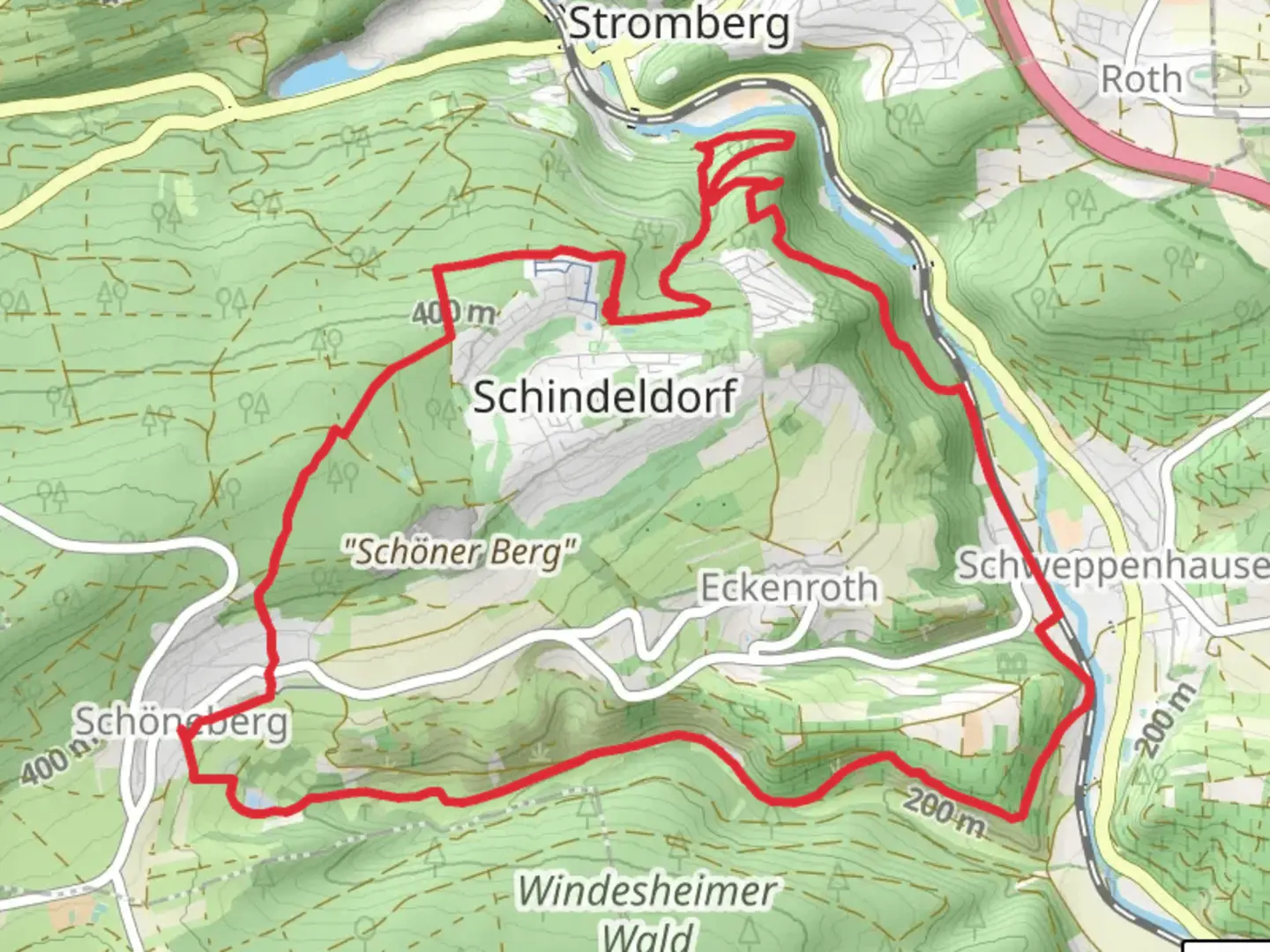
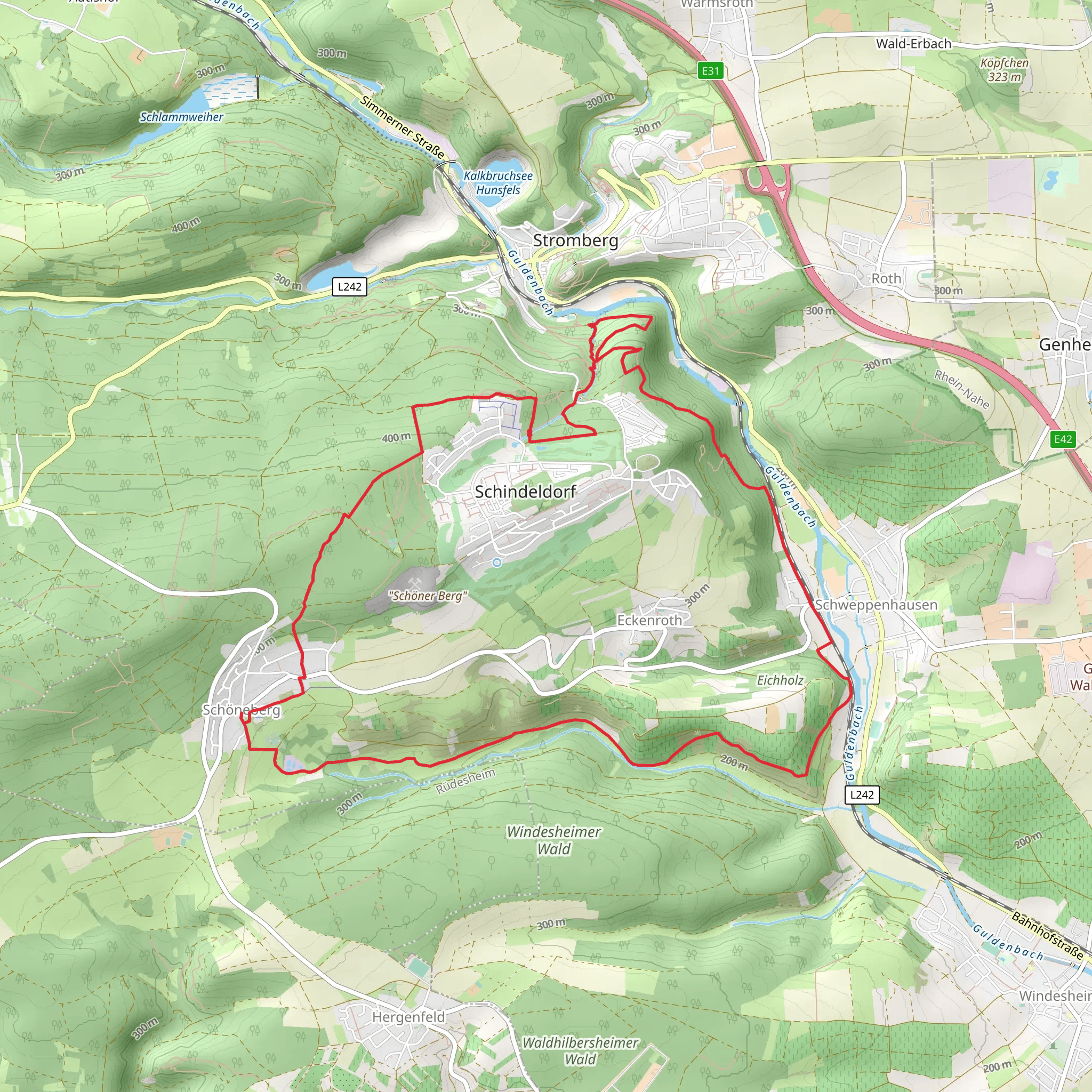
Starting near the picturesque town of Bad Kreuznach in Germany, the Rundweg Neupfalz and Michels Vitaltour Loop is a delightful 13 km (8 miles) loop trail with an elevation gain of approximately 400 meters (1,312 feet). This trail is rated as medium difficulty, making it suitable for moderately experienced hikers.### Getting There To reach the trailhead, you can either drive or use public transport. If driving, head towards Bad Kreuznach and look for parking near the Kurhaus, a well-known spa and wellness center in the area. For those using public transport, take a train to Bad Kreuznach station. From there, local buses or a short taxi ride will get you to the Kurhaus.### Trail Overview The trail begins near the Kurhaus and quickly immerses you in the serene beauty of the Rhineland-Palatinate region. The first section of the trail takes you through lush forests and rolling hills, offering a peaceful start to your hike. As you ascend, you'll gain approximately 200 meters (656 feet) in the first 3 km (1.9 miles), providing a moderate challenge right from the start.### Landmarks and Points of Interest Around the 4 km (2.5 miles) mark, you'll come across the Neupfalz ruins, remnants of a medieval castle that offer a glimpse into the region's rich history. Take a moment to explore the ruins and enjoy the panoramic views of the surrounding countryside.Continuing on, the trail leads you through a series of vineyards, a hallmark of the Rhineland-Palatinate region. This area is known for its wine production, and you might even spot some local vintners at work. The vineyards stretch for about 2 km (1.2 miles), and the gentle slopes make for a pleasant walk.### Wildlife and Nature The trail is home to a variety of wildlife, including deer, foxes, and numerous bird species. Keep an eye out for the European green woodpecker, a common sight in these parts. The diverse flora includes oak, beech, and pine trees, providing ample shade and a cool respite during warmer months.### Elevation and Terrain As you approach the halfway point, the trail begins to ascend again, gaining another 200 meters (656 feet) over the next 3 km (1.9 miles). This section can be a bit more challenging, with steeper inclines and rocky terrain. Proper hiking boots are recommended to navigate this part safely.### Historical Significance The region around Bad Kreuznach has a rich history dating back to Roman times. The town itself is known for its thermal springs, which have been used for therapeutic purposes for centuries. The trail passes by several historical markers that provide insights into the area's past, including ancient Roman artifacts and medieval structures.### Final Stretch The last 3 km (1.9 miles) of the trail are a gentle descent back towards Bad Kreuznach. This section offers stunning views of the Nahe River and the surrounding valley. As you near the end of the loop, you'll pass through the Michels Vitaltour, a wellness-themed section of the trail that features informational signs about the health benefits of hiking and nature.### Navigation For navigation, it's highly recommended to use the HiiKER app, which provides detailed maps and real-time updates to ensure you stay on the right path. The trail is well-marked, but having a reliable navigation tool can enhance your hiking experience.This loop trail offers a perfect blend of natural beauty, historical landmarks, and moderate physical challenge, making it a rewarding experience for any hiker.
What to expect?
Activity types
Comments and Reviews
User comments, reviews and discussions about the Rundweg Neupfalz and Michels Vitaltour Loop, Germany.
4.67
average rating out of 5
6 rating(s)
