Download
Preview
Add to list
More
7.8 km
~2 hrs 16 min
426 m
Loop
“Explore history, nature, and stunning views on the 8 km Drei-Burgen Weg trail near Bad Kreuznach.”
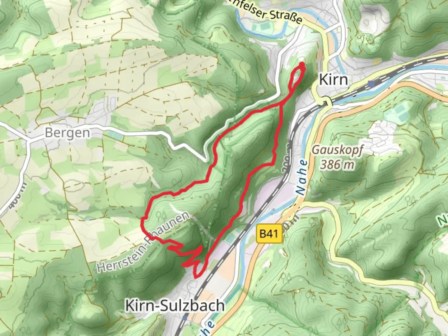
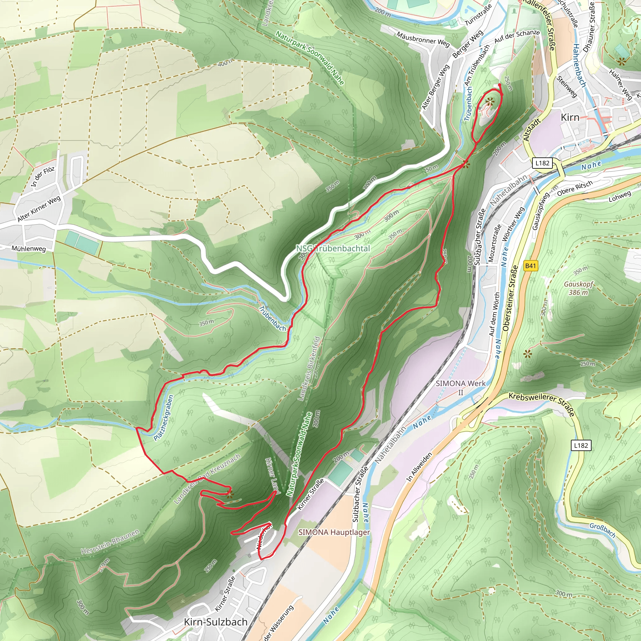
Starting near the charming town of Bad Kreuznach, Germany, the Drei-Burgen Weg and Nahehoehenweg trail offers an 8 km (approximately 5 miles) loop with an elevation gain of around 400 meters (1,312 feet). This medium-difficulty trail is perfect for hikers looking to explore a mix of historical landmarks, scenic views, and diverse wildlife.### Getting There To reach the trailhead, you can either drive or use public transport. If driving, set your GPS to Bad Kreuznach, a well-known spa town. There are several parking options available near the town center. For those using public transport, Bad Kreuznach is well-connected by train. From the Bad Kreuznach train station, it's a short walk or a quick bus ride to the trailhead.### Trail Highlights#### Historical Landmarks The trail is named after the three castles (Drei-Burgen) you will encounter along the way. These castles are remnants of the region's medieval past and offer a glimpse into the area's rich history.1. Rheingrafenstein Castle: Located about 2 km (1.2 miles) into the hike, this castle sits atop a steep rock and offers panoramic views of the Nahe River. The climb to the castle is steep but manageable, and the views are well worth the effort.2. Ebernburg Castle: Approximately 4 km (2.5 miles) into the hike, you'll come across Ebernburg Castle. This castle has been partially restored and now houses a museum. It's a great spot to take a break and learn more about the region's history.3. Schlosspark Bad Münster am Stein-Ebernburg: Near the end of the loop, around 6 km (3.7 miles) in, you'll find this castle park. It's a serene place to relax and enjoy the natural beauty of the area.#### Scenic Views and Nature The trail offers a variety of landscapes, from dense forests to open meadows. As you hike, you'll be treated to stunning views of the Nahe Valley and the surrounding hills. The elevation gain is gradual, making it a pleasant hike for those with moderate experience.- Nahe River: The trail runs parallel to the Nahe River for a significant portion, providing beautiful riverside views and opportunities to spot local wildlife such as herons and kingfishers. - Flora and Fauna: The area is rich in biodiversity. Keep an eye out for wildflowers in the meadows and various bird species in the forested sections.### Navigation and Safety Using HiiKER for navigation is highly recommended. The app provides detailed maps and real-time updates, ensuring you stay on the right path. The trail is well-marked, but having a reliable navigation tool can enhance your hiking experience.- Trail Markings: Look for the distinctive trail markers that guide you along the route. These are usually painted on trees or signposts. - Weather: Check the weather forecast before you set out. The trail can be slippery after rain, especially in the forested sections.### Practical Information - Water and Snacks: There are no water sources along the trail, so bring enough water and snacks to keep you energized. - Footwear: Sturdy hiking boots are recommended due to the varied terrain and elevation changes. - Timing: The hike can be completed in about 3-4 hours, depending on your pace and how long you spend at each landmark.This trail offers a perfect blend of history, nature, and scenic beauty, making it a must-visit for any hiking enthusiast exploring the Bad Kreuznach region.
What to expect?
Activity types
Comments and Reviews
User comments, reviews and discussions about the Drei-Burgen Weg and Nahehoehenweg, Germany.
average rating out of 5
0 rating(s)
