Download
Preview
Add to list
More
6.6 km
~1 hrs 33 min
140 m
Loop
“The Grünenbaindt and Kobel Loop offers a serene 7 km hike through forests, meadows, and historical landmarks.”
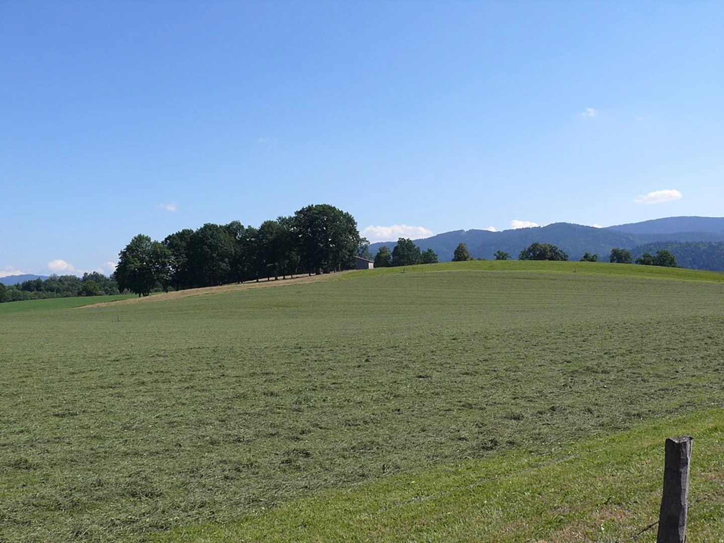
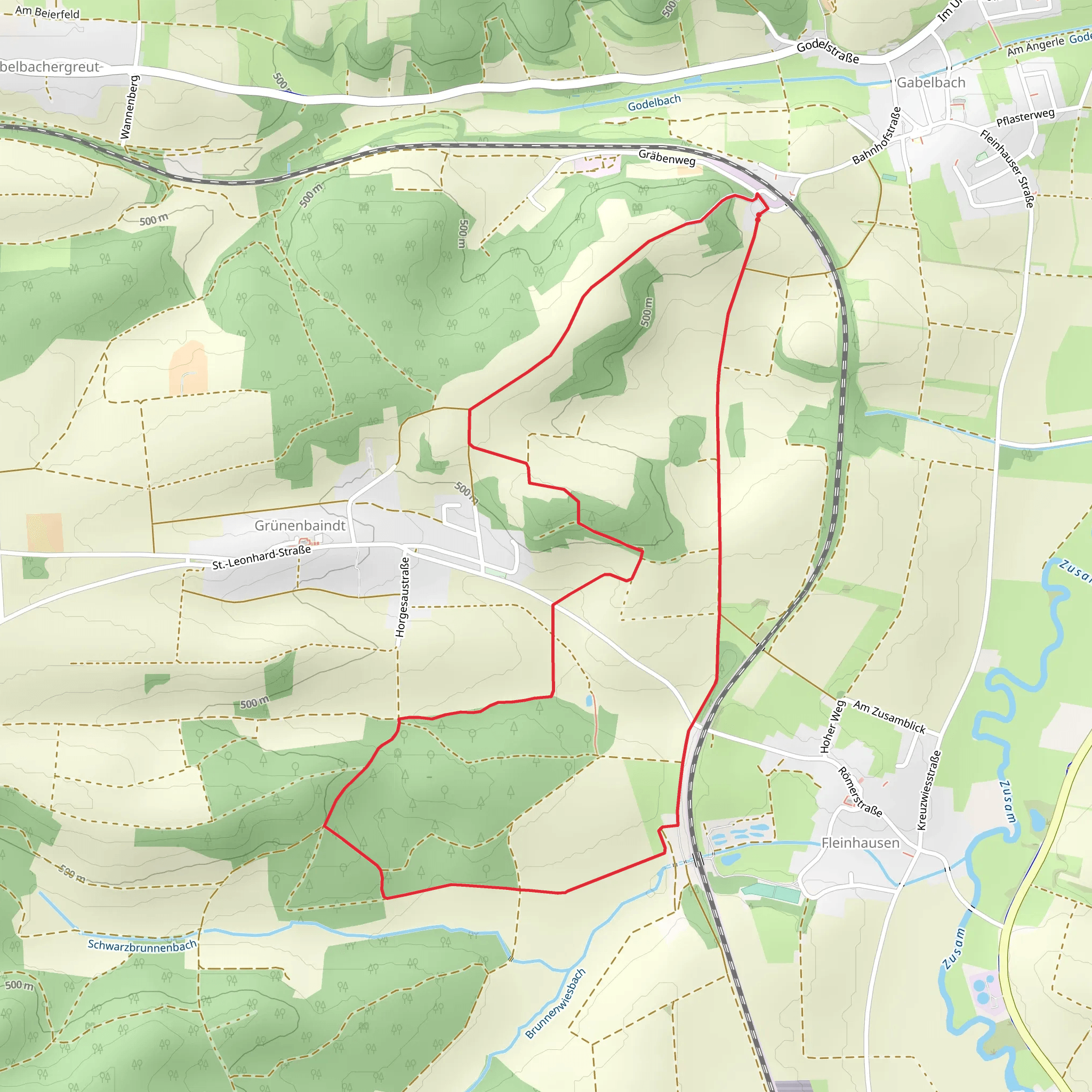
Starting near the picturesque district of Augsburg in Germany, the Grünenbaindt and Kobel Loop offers a delightful 7 km (approximately 4.3 miles) journey through a blend of serene forests, open meadows, and gentle hills. With an elevation gain of around 100 meters (328 feet), this loop trail is rated as medium difficulty, making it suitable for moderately experienced hikers.### Getting There To reach the trailhead, you can either drive or use public transport. If driving, set your GPS to the nearest known address: Grünenbaindt, 86199 Augsburg, Germany. For those opting for public transport, take a train to Augsburg Hauptbahnhof (Augsburg Central Station). From there, you can catch a local bus or tram to the Grünenbaindt area. The trailhead is conveniently located and well-marked, making it easy to find.### Trail Highlights As you embark on the Grünenbaindt and Kobel Loop, you'll first encounter a lush forest area. The dense canopy provides ample shade, making this section particularly enjoyable during warmer months. Keep an eye out for native wildlife such as deer and various bird species that inhabit this region.#### Forest and Meadows Approximately 2 km (1.2 miles) into the hike, the trail opens up into expansive meadows. These meadows are often dotted with wildflowers in the spring and summer, offering a colorful and fragrant experience. The gentle rolling hills here contribute to the overall elevation gain but are manageable for most hikers.#### Historical Significance Around the 4 km (2.5 miles) mark, you'll come across the Kobel Chapel, a small but historically significant landmark. This chapel dates back several centuries and offers a glimpse into the region's rich cultural heritage. It's a great spot to take a short break and soak in the peaceful surroundings.### Navigation and Safety The trail is well-marked with signs at regular intervals, but it's always a good idea to have a reliable navigation tool. The HiiKER app is highly recommended for this purpose, as it provides detailed maps and real-time updates. Make sure to carry enough water, especially during the summer months, and wear appropriate footwear to handle the varied terrain.### Flora and Fauna The Grünenbaindt and Kobel Loop is home to a diverse range of flora and fauna. In addition to the wildflowers in the meadows, you'll find various types of trees such as oak, beech, and pine in the forested sections. Wildlife sightings are common, so keep your camera ready for potential encounters with deer, foxes, and a variety of bird species.### Final Stretch As you near the end of the loop, the trail gradually descends back towards the starting point. This final stretch offers a mix of forest and open areas, providing a gentle and scenic conclusion to your hike. The entire loop takes around 2 to 3 hours to complete, depending on your pace and the number of stops you make to enjoy the scenery.This trail offers a perfect blend of natural beauty, historical landmarks, and moderate physical challenge, making it a rewarding experience for any hiker.
What to expect?
Activity types
Comments and Reviews
User comments, reviews and discussions about the Grünenbaindt and Kobel Loop, Germany.
4.0
average rating out of 5
1 rating(s)

