Download
Preview
Add to list
More
9.1 km
~2 hrs 21 min
325 m
Loop
“The Unterer Panoramaweg Loop offers a scenic 9 km hike with lush forests, historic landmarks, and panoramic views.”
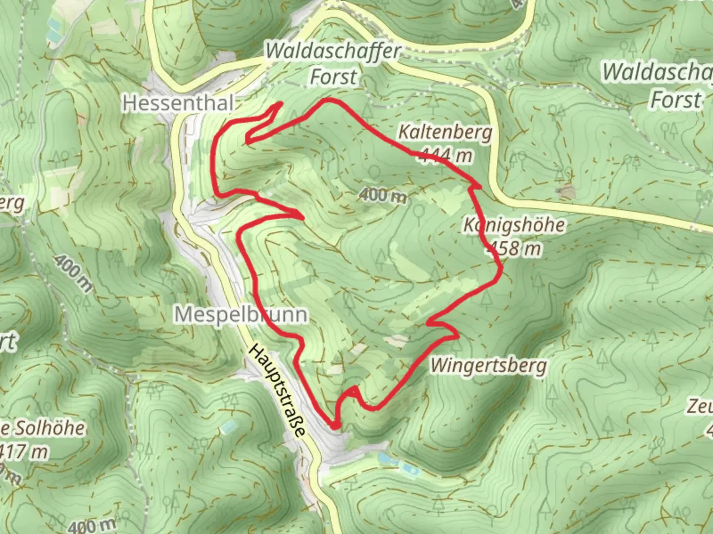
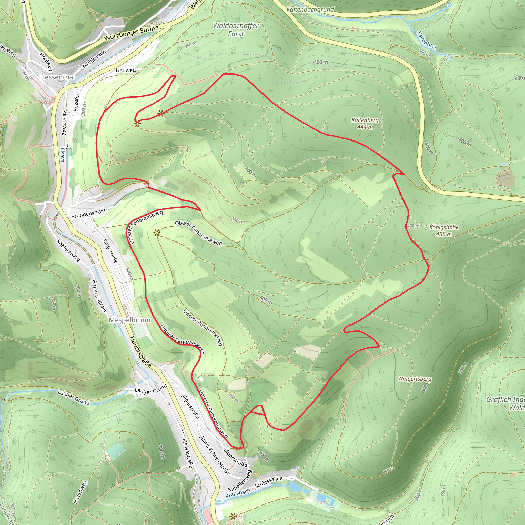
Starting near the charming town of Aschaffenburg, Germany, the Unterer Panoramaweg Loop is a delightful 9 km (5.6 miles) trail with an elevation gain of approximately 300 meters (984 feet). This loop trail offers a medium difficulty rating, making it suitable for moderately experienced hikers looking for a rewarding day hike.
Getting There To reach the trailhead, you can either drive or use public transport. If driving, head towards Aschaffenburg and look for parking options near the trailhead, which is conveniently located close to the town center. For those using public transport, Aschaffenburg is well-connected by train. From the Aschaffenburg Hauptbahnhof (main train station), you can take a local bus or a short taxi ride to the trailhead.
Trail Overview The Unterer Panoramaweg Loop begins with a gentle ascent, allowing hikers to gradually acclimate to the elevation gain. The initial part of the trail meanders through lush forests, offering a serene environment filled with the sounds of chirping birds and rustling leaves. Keep an eye out for local wildlife such as deer and various bird species that inhabit this area.
Significant Landmarks and Points of Interest As you progress along the trail, you will encounter several notable landmarks. Approximately 3 km (1.9 miles) into the hike, you will come across the historic Johannisburg Castle, a stunning Renaissance palace that dates back to the early 17th century. This castle is one of the most significant architectural landmarks in the region and offers a glimpse into the area's rich history.
Continuing along the trail, you will reach a panoramic viewpoint around the 5 km (3.1 miles) mark. This vantage point provides breathtaking views of the Main River and the surrounding countryside. It's an ideal spot to take a break, enjoy a snack, and capture some memorable photos.
Flora and Fauna The Unterer Panoramaweg Loop is known for its diverse flora and fauna. The trail is lined with a variety of trees, including oak, beech, and pine, creating a vibrant tapestry of green. During the spring and summer months, wildflowers bloom along the path, adding splashes of color to the landscape. In autumn, the foliage transforms into a stunning array of reds, oranges, and yellows.
Navigation and Safety To ensure a smooth hiking experience, it's recommended to use the HiiKER app for navigation. The app provides detailed maps and real-time updates, helping you stay on track throughout the hike. The trail is well-marked, but having a reliable navigation tool can enhance your confidence and enjoyment.
Historical Significance The region around Aschaffenburg has a rich historical background. The town itself has been a significant cultural and economic center since the Middle Ages. The presence of Johannisburg Castle along the trail highlights the area's historical importance and offers hikers a chance to connect with the past.
Final Stretch As you near the end of the loop, the trail descends gently back towards the starting point. The final stretch takes you through picturesque meadows and small wooded areas, providing a peaceful conclusion to your hike. The entire loop typically takes around 3 to 4 hours to complete, depending on your pace and the number of stops you make along the way.
The Unterer Panoramaweg Loop is a delightful trail that combines natural beauty, historical landmarks, and a moderate challenge, making it a must-visit for hikers exploring the Aschaffenburg region.
What to expect?
Activity types
Comments and Reviews
User comments, reviews and discussions about the Unterer Panoramaweg Loop, Germany.
4.0
average rating out of 5
1 rating(s)
