Download
Preview
Add to list
More
7.5 km
~1 hrs 55 min
262 m
Point-to-Point
“The Heigenbruecken Loop is a captivating 7 km trail in Germany, ideal for moderately experienced hikers.”
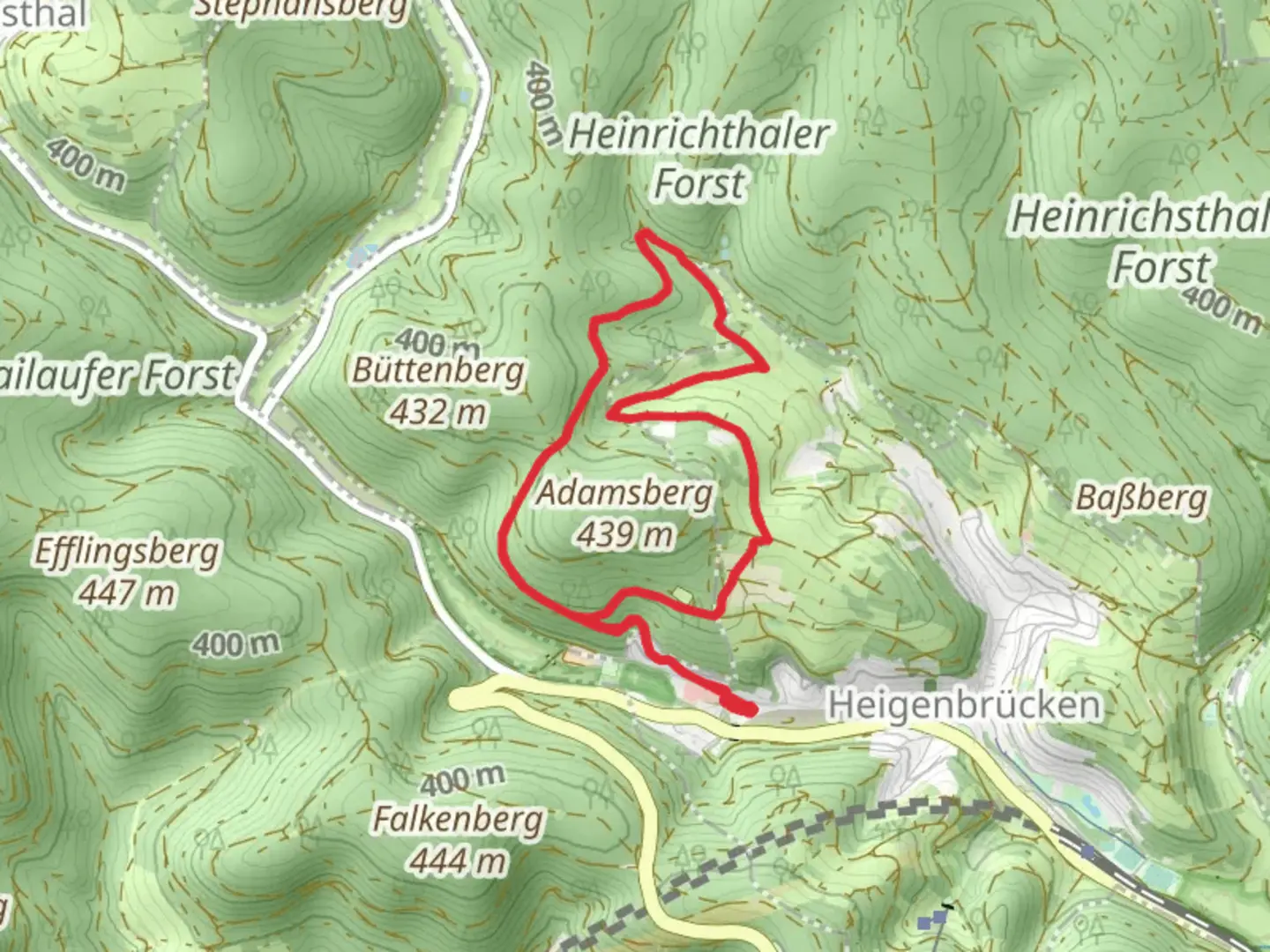
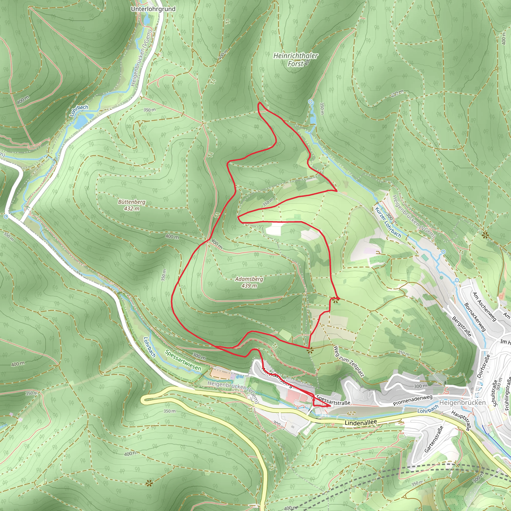
Starting near Aschaffenburg, Germany, the Heigenbruecken Loop is a captivating 7 km (4.35 miles) trail with an elevation gain of approximately 200 meters (656 feet). This point-to-point trail offers a medium difficulty rating, making it suitable for moderately experienced hikers.
Getting There To reach the trailhead, you can either drive or use public transport. If driving, head towards Heigenbruecken, a small town near Aschaffenburg. There are parking facilities available near the trailhead. For those using public transport, take a train to Heigenbruecken station, which is well-connected from Aschaffenburg. From the station, the trailhead is just a short walk away.
Trail Navigation For navigation, it is highly recommended to use the HiiKER app, which provides detailed maps and real-time updates to ensure you stay on track.
Trail Highlights As you embark on the Heigenbruecken Loop, you'll find yourself immersed in the lush greenery of the Spessart Forest. The trail meanders through dense woodlands, offering a serene escape from urban life. Early in the hike, you'll encounter a gentle ascent, gaining about 100 meters (328 feet) in the first 2 km (1.24 miles). This section is shaded, making it a pleasant walk even on warmer days.
Flora and Fauna The Spessart Forest is home to a diverse range of flora and fauna. Keep an eye out for native wildlife such as deer, foxes, and various bird species. The forest floor is often carpeted with wildflowers in the spring and summer, adding a splash of color to your hike.
Historical Significance The region has a rich history dating back to medieval times. As you hike, you'll come across remnants of ancient trade routes and possibly even old boundary stones that marked territories centuries ago. The Spessart Forest was historically known for its dense woods and bandit legends, adding a touch of mystery to your journey.
Midpoint and Scenic Views Around the 3.5 km (2.17 miles) mark, you'll reach the highest point of the trail, offering panoramic views of the surrounding forest and valleys. This is an excellent spot to take a break, hydrate, and enjoy the scenery. The elevation gain here is about 200 meters (656 feet), providing a rewarding challenge for hikers.
Descent and Return The descent begins gradually, leading you through more open areas of the forest. The final 3.5 km (2.17 miles) of the trail are relatively easier, with a gentle downhill slope. You'll pass by small streams and possibly encounter local hikers and nature enthusiasts.
Final Stretch As you near the end of the loop, the trail brings you back towards Heigenbruecken. The last kilometer (0.62 miles) is a flat, easy walk, allowing you to cool down and reflect on the natural beauty you've experienced.
Practical Tips - Wear sturdy hiking boots, as the trail can be uneven in places. - Bring sufficient water and snacks, especially if you plan to take breaks and enjoy the scenery. - Check the weather forecast before heading out, as the trail can be slippery after rain. - Use the HiiKER app for navigation to ensure you stay on the correct path.
The Heigenbruecken Loop offers a perfect blend of natural beauty, historical intrigue, and moderate physical challenge, making it a must-visit for hikers in the region.
What to expect?
Activity types
Comments and Reviews
User comments, reviews and discussions about the Heigenbruecken Loop, Germany.
5.0
average rating out of 5
2 rating(s)
