Download
Preview
Add to list
More
12.0 km
~3 hrs 9 min
459 m
Loop
“Experience lush forests, stunning rock formations, and historical landmarks on this moderate 12 km hike near Amberg-Sulzbach.”
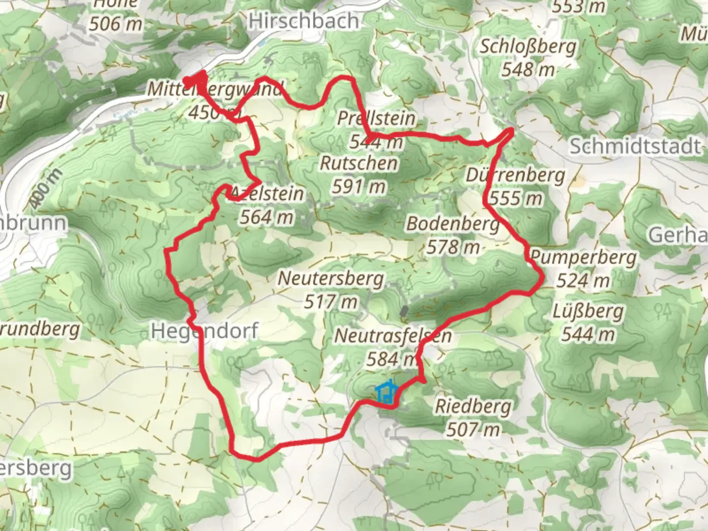
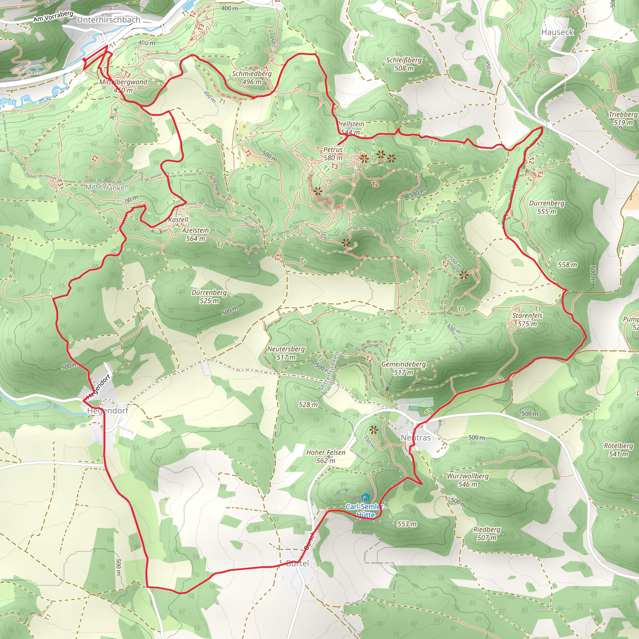
Starting near Amberg-Sulzbach in Germany, this 12 km (7.5 miles) loop trail offers a moderate challenge with an elevation gain of around 400 meters (1,312 feet). The trailhead is easily accessible by car, with parking available nearby. For those using public transport, you can take a train to Amberg and then a local bus to the trailhead area.
Trail Overview
The trail begins with a gentle ascent through lush forests, providing a serene start to your hike. As you follow the Gelbpunkt (Yellow Dot) markers, you'll notice the dense canopy overhead, which offers ample shade and a cool environment, especially during the warmer months. The initial 3 km (1.9 miles) of the trail are relatively easy, with a gradual elevation gain of about 100 meters (328 feet).
Key Landmarks and Points of Interest
#### Prellstein Rock Formation Around the 4 km (2.5 miles) mark, you'll encounter the Prellstein rock formation. This impressive geological feature is a popular spot for a short break and some photography. The rock formation offers panoramic views of the surrounding landscape, making it a highlight of the hike.
#### Jean-Mueller Weg Continuing along the Jean-Mueller Weg, the trail becomes more challenging with steeper sections. This part of the trail is well-marked and offers a mix of rocky terrain and forest paths. The next 4 km (2.5 miles) will see an elevation gain of approximately 200 meters (656 feet), so be prepared for a bit of a workout.
Flora and Fauna
The trail is rich in biodiversity. Keep an eye out for various species of birds, including woodpeckers and songbirds. The forest floor is often carpeted with wildflowers in the spring and summer, adding a splash of color to your hike. Deer and other small mammals are also commonly spotted in this area.
Historical Significance
The region around Amberg-Sulzbach has a rich history dating back to medieval times. The trail itself passes near several historical landmarks, including old stone walls and remnants of ancient settlements. These historical elements add an extra layer of interest to your hike, making it not just a physical journey but also a walk through history.
Navigation and Safety
For navigation, it's highly recommended to use the HiiKER app, which provides detailed maps and real-time updates. The trail is well-marked, but having a reliable navigation tool can enhance your hiking experience and ensure you stay on track.
Final Stretch
The final 4 km (2.5 miles) of the trail loop back towards the starting point, with a gradual descent that allows you to cool down and enjoy the scenery. This section is less strenuous, making it a pleasant end to your hike.
Getting There
If you're driving, set your GPS to the nearest known address: Amberg-Sulzbach, Germany. For public transport users, take a train to Amberg and then a local bus to the trailhead area. The trail is well-signposted from the bus stop, making it easy to find your way.
This trail offers a balanced mix of natural beauty, moderate physical challenge, and historical intrigue, making it a rewarding experience for hikers of all levels.
Comments and Reviews
User comments, reviews and discussions about the Prellstein via Gelbpunkt and Jean-Mueller Weg, Germany.
4.25
average rating out of 5
4 rating(s)
