Download
Preview
Add to list
More
10.4 km
~2 hrs 28 min
234 m
Point-to-Point
“Explore a scenic 10 km trail from Amberg-Sulzbach to Schmidmuehlen, featuring forests, ruins, and river views.”
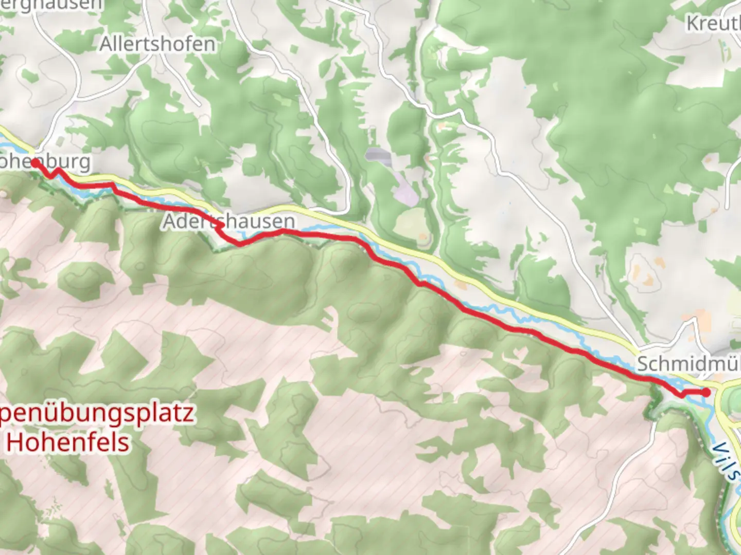
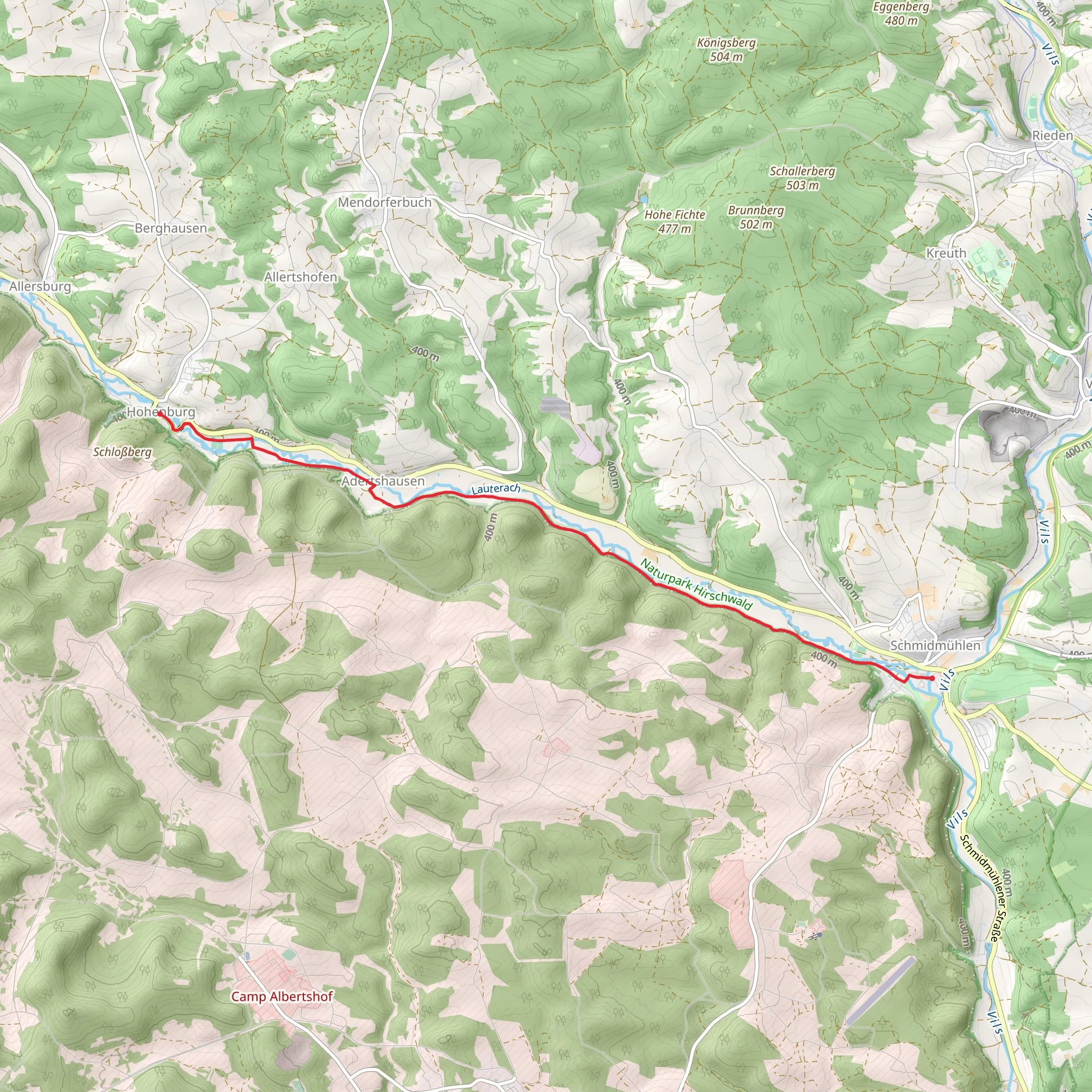
Starting near the picturesque town of Amberg-Sulzbach in Germany, this trail stretches approximately 10 kilometers (6.2 miles) and offers an elevation gain of around 200 meters (656 feet). The trail is a point-to-point route, making it essential to plan your return journey in advance. Rated as medium difficulty, it is suitable for hikers with a moderate level of fitness.
Getting There To reach the trailhead, you can either drive or use public transport. If you're driving, set your GPS to Amberg-Sulzbach, and look for parking options near the town center. For those using public transport, take a train to Amberg station and then a local bus towards Sulzbach-Rosenberg. From there, it's a short walk to the trailhead.
Trail Overview The trail begins near Amberg-Sulzbach and heads towards Schmidmuehlen, passing through the scenic Gelbstrich area. The initial part of the hike takes you through dense forests, where you can enjoy the tranquility and the sound of birds chirping. Keep an eye out for deer and other wildlife that are commonly spotted in this region.
Landmarks and Points of Interest - **Gelbstrich Forest**: About 3 kilometers (1.9 miles) into the hike, you'll enter the Gelbstrich Forest. This area is known for its lush greenery and diverse flora. The forest floor is often carpeted with wildflowers in the spring, making it a beautiful spot for photography. - **Historical Ruins**: Around the 5-kilometer (3.1 miles) mark, you'll come across the ruins of an old castle. These ruins date back to the medieval period and offer a glimpse into the region's rich history. Take a moment to explore and imagine what life was like centuries ago. - **River Vils**: As you approach Schmidmuehlen, the trail runs parallel to the River Vils. This section is particularly scenic, with the river providing a serene backdrop to your hike. There are several spots where you can sit and enjoy a packed lunch while listening to the gentle flow of the water.
Navigation and Safety Using HiiKER for navigation is highly recommended. The app provides detailed maps and real-time updates, ensuring you stay on the right path. The trail is well-marked, but having a reliable navigation tool can be invaluable, especially in the denser forest sections.
Wildlife and Flora The trail is home to a variety of wildlife, including deer, foxes, and numerous bird species. The flora is equally diverse, with oak, beech, and pine trees dominating the landscape. In the spring and summer months, the trail is adorned with wildflowers, adding a splash of color to your hike.
Final Stretch The final stretch of the trail takes you into the charming town of Schmidmuehlen. Here, you can explore local cafes and restaurants, or simply relax and take in the town's historic architecture. Public transport options are available from Schmidmuehlen for your return journey.
This trail offers a perfect blend of natural beauty, historical landmarks, and moderate physical challenge, making it a rewarding experience for any hiker.
What to expect?
Activity types
Comments and Reviews
User comments, reviews and discussions about the Hohenburg to Schmidmuehlen via Gelbstrich, Germany.
4.17
average rating out of 5
6 rating(s)
