Download
Preview
Add to list
More
13.6 km
~3 hrs 7 min
238 m
Loop
“Explore the scenic 14 km Aulheimer Tälchen loop with moderate climbs, panoramic views, and historical stops.”
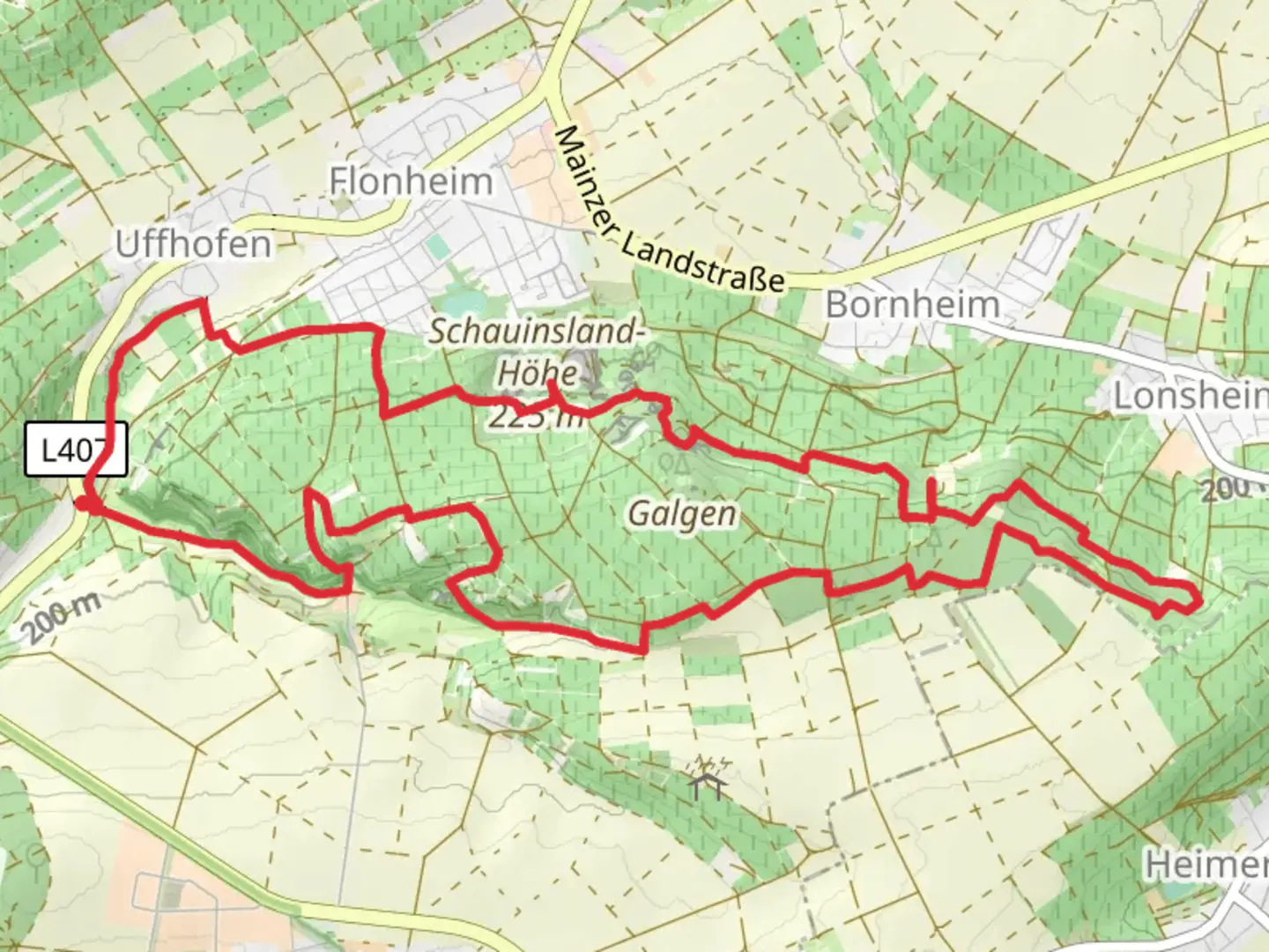
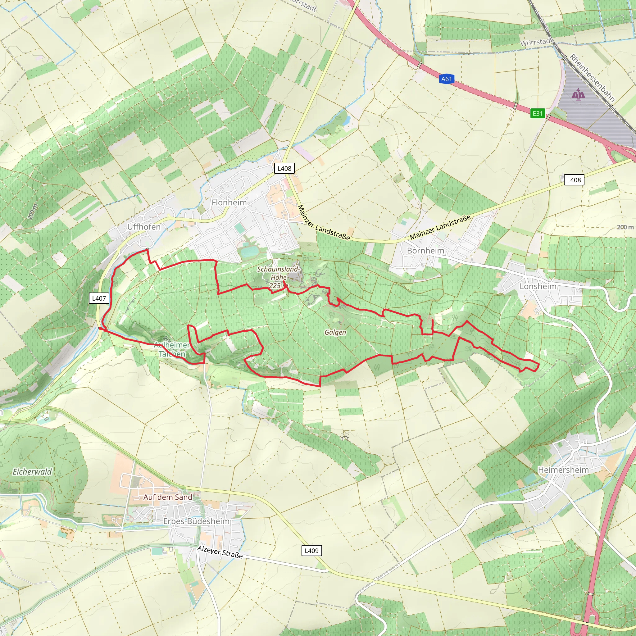
Starting near Alzey-Worms in Germany, the Aulheimer Tälchen, Oswaldhohe, and Sedanplatz Loop is a captivating 14 km (8.7 miles) loop trail with an elevation gain of approximately 200 meters (656 feet). This trail is rated as medium difficulty, making it suitable for moderately experienced hikers.
Getting There To reach the trailhead, you can drive or use public transport. If driving, set your GPS to Alzey-Worms, Germany. For those using public transport, take a train to Alzey station and then a local bus to the nearest stop at Alzey-Worms. From there, it's a short walk to the trailhead.
Trail Highlights The trail begins with a gentle ascent through the picturesque Aulheimer Tälchen valley. This section is characterized by lush greenery and a variety of native flora. Keep an eye out for wildflowers, especially in the spring and early summer months.
Oswaldhohe At around the 5 km (3.1 miles) mark, you'll reach Oswaldhohe, a notable high point offering panoramic views of the surrounding countryside. This is an excellent spot for a short break and some photography. The elevation gain to this point is gradual, making it a pleasant climb.
Sedanplatz Continuing on, the trail leads you to Sedanplatz, approximately 9 km (5.6 miles) into the hike. This area is steeped in history, named after the Battle of Sedan during the Franco-Prussian War. Here, you can find a small monument commemorating the event. The terrain around Sedanplatz is relatively flat, providing a nice respite before the final leg of the loop.
Nature and Wildlife The trail is home to a variety of wildlife, including deer, foxes, and numerous bird species. The mixed forest and open meadows create a diverse habitat, so bring your binoculars if you're a bird-watching enthusiast.
Navigation For navigation, it's highly recommended to use the HiiKER app, which provides detailed maps and real-time updates. This will ensure you stay on track and can easily find points of interest along the way.
Final Stretch The last 5 km (3.1 miles) of the trail take you through a series of gentle descents back towards the starting point. This section is particularly scenic, with rolling hills and occasional glimpses of local vineyards.
Practical Information Ensure you bring enough water and snacks, as there are limited facilities along the trail. Wear sturdy hiking boots, as some sections can be uneven. The trail is well-marked, but having a map on HiiKER will enhance your experience and provide peace of mind.
This loop trail offers a blend of natural beauty, historical significance, and moderate physical challenge, making it a rewarding hike for those looking to explore the Alzey-Worms region.
What to expect?
Activity types
Comments and Reviews
User comments, reviews and discussions about the Aulheimer Tälchen, Oswaldhohe and Sedanplatz Loop, Germany.
4.67
average rating out of 5
3 rating(s)
